| Name | Last Modified | Size | DAP Response Links | Dataset Viewers | |||||
|---|---|---|---|---|---|---|---|---|---|
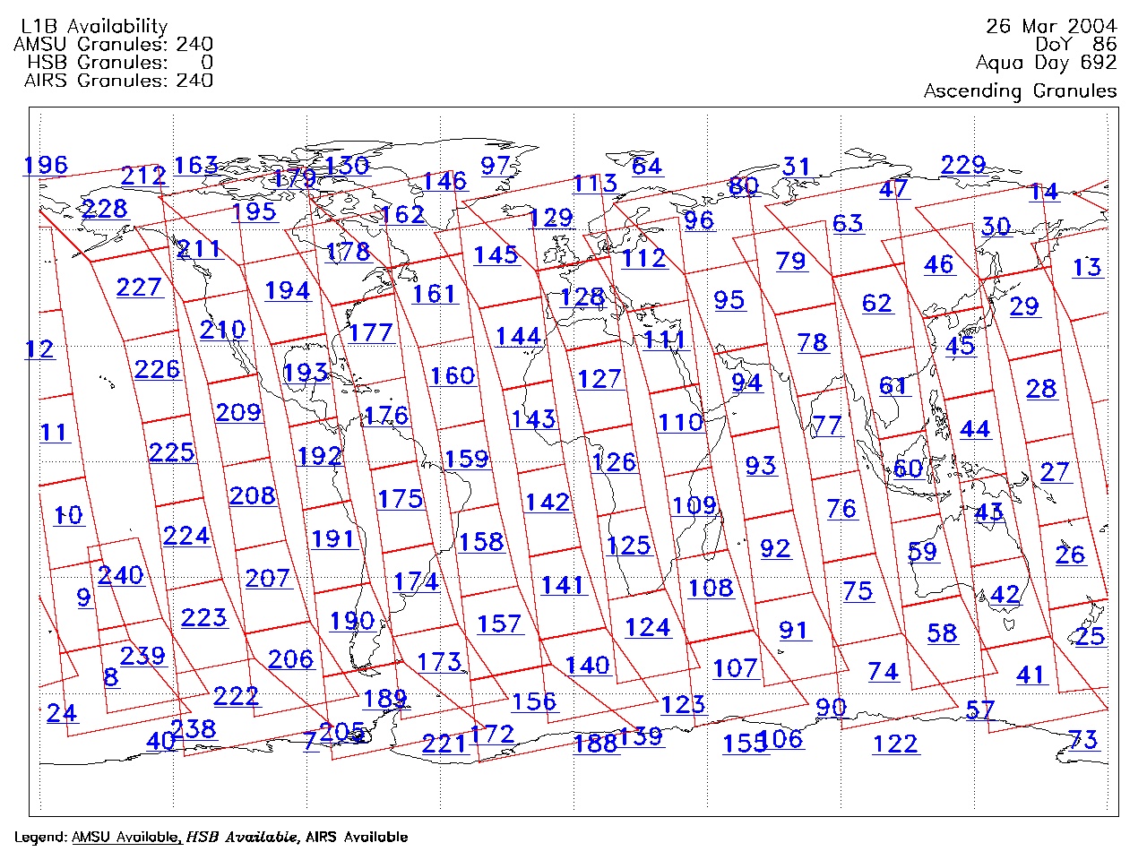
| AIRS.2004.03.26.GranuleMap.Ascending.jpg | 2012-06-06T18:01:12GMT | 642127 |
|
||||||
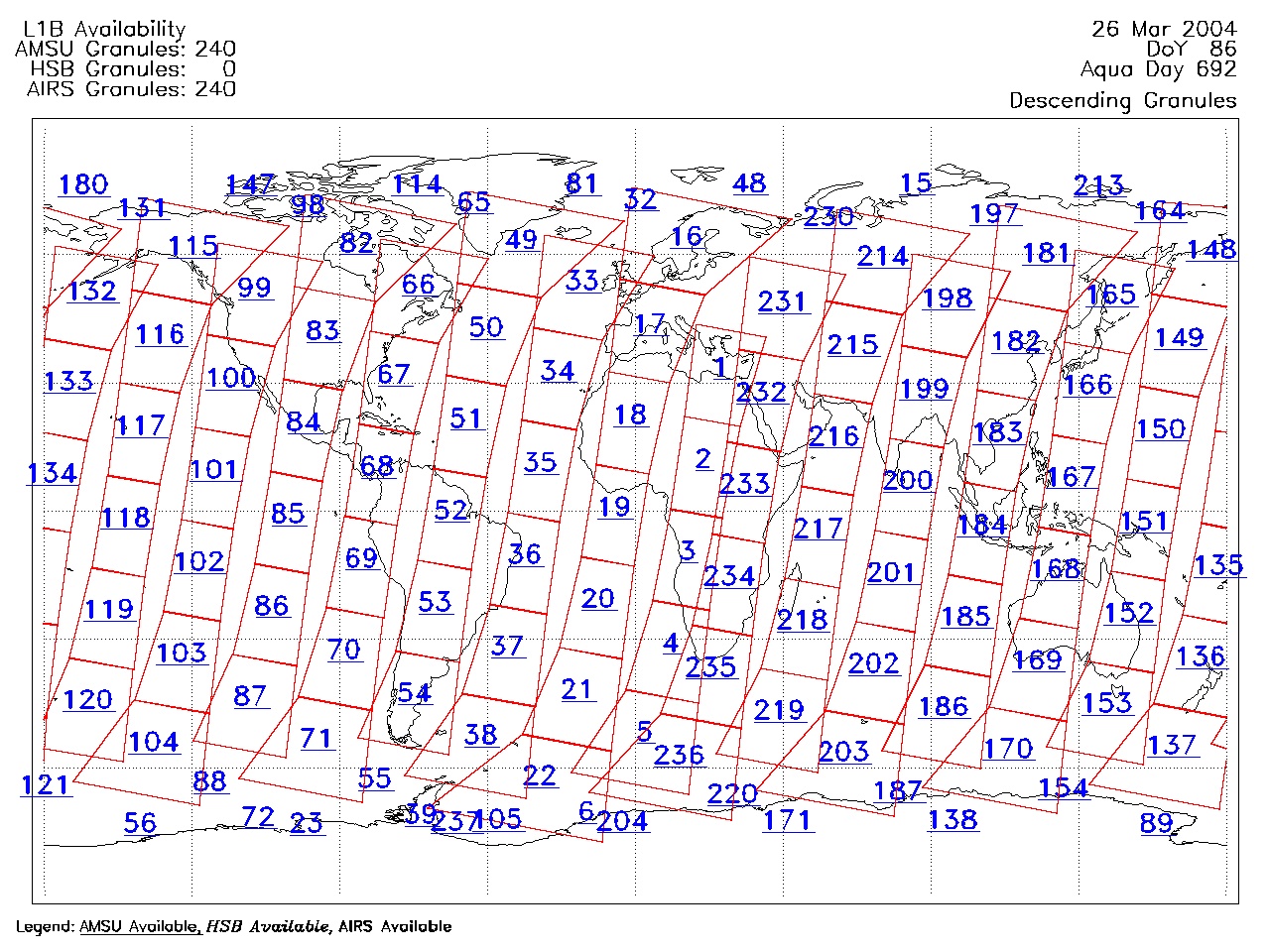
| AIRS.2004.03.26.GranuleMap.Descending.jpg | 2012-06-06T18:01:12GMT | 640099 |
|
||||||
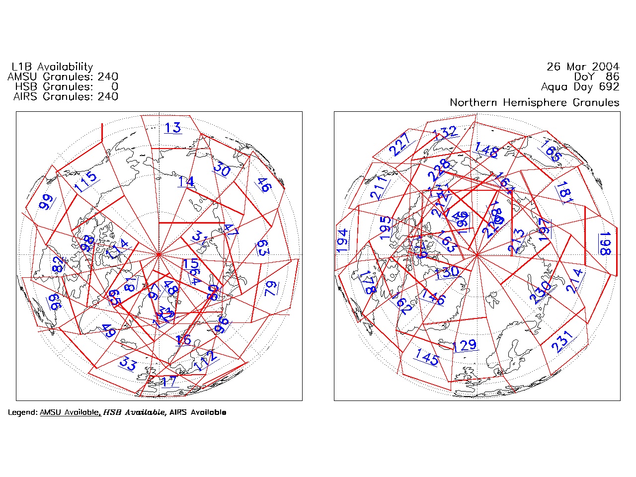
| AIRS.2004.03.26.GranuleMap.North.jpg | 2012-06-06T18:01:12GMT | 518129 |
|
||||||
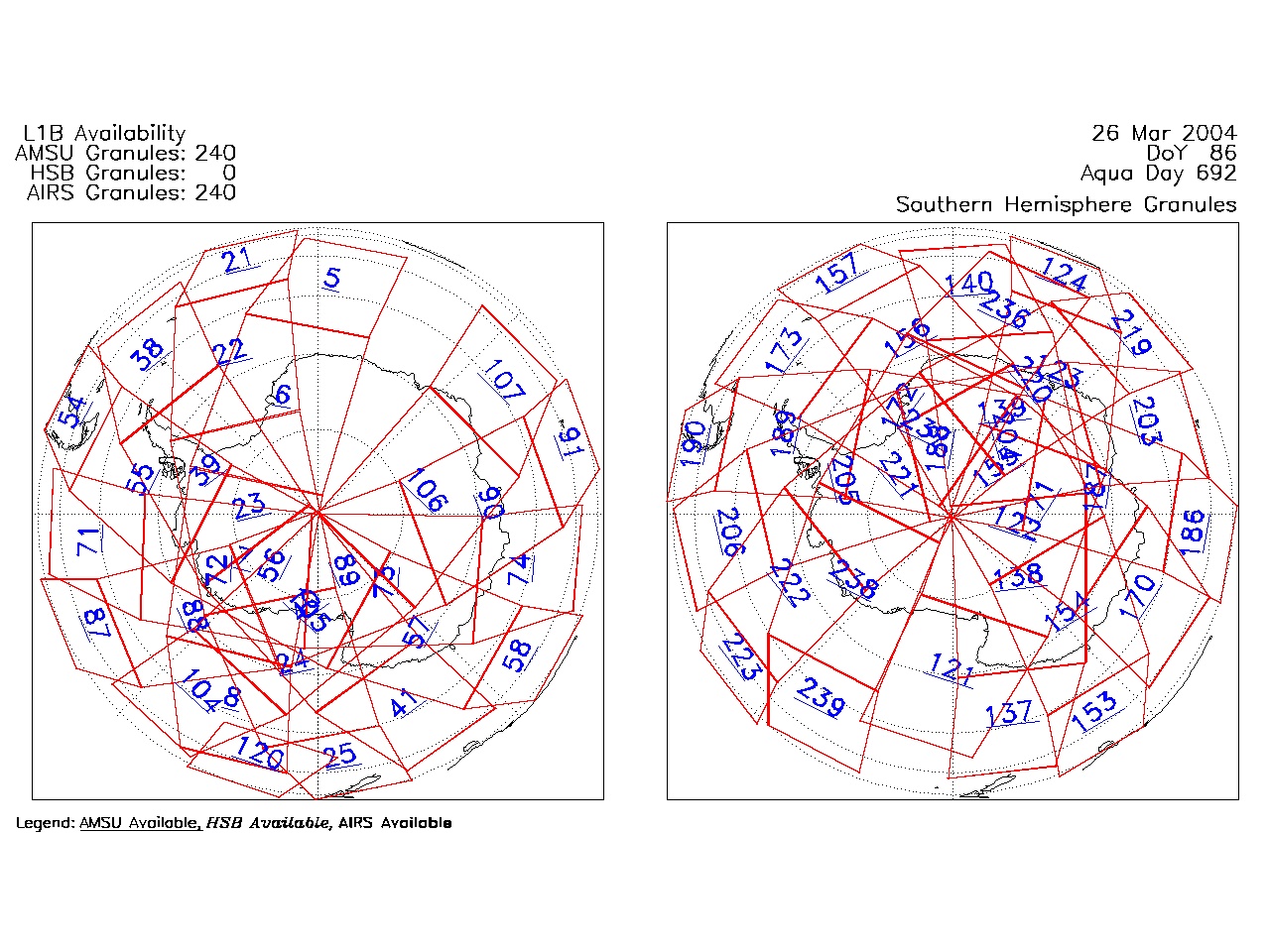
| AIRS.2004.03.26.GranuleMap.South.jpg | 2012-06-06T18:01:12GMT | 504967 |
|
||||||
| AIRS.2004.03.26.GranuleMap.pdf | 2012-06-06T18:01:12GMT | 333484 |
|
||||||
| AIRS.2004.03.26.GranuleMap.xml | 2012-06-06T18:01:12GMT | 2532 |
|
|
THREDDS Catalog XML
|