| Name | Last Modified | Size | DAP Response Links | Dataset Viewers | |||||
|---|---|---|---|---|---|---|---|---|---|
| AIRS.2004.03.16.GranuleMap.Ascending.jpg | 2012-06-06T18:00:57GMT | 656854 |
|
||||||
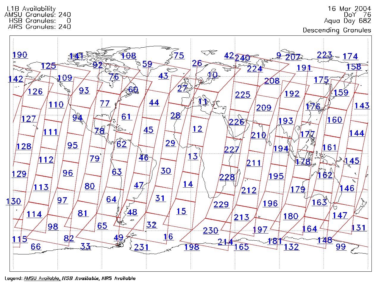
| AIRS.2004.03.16.GranuleMap.Descending.jpg | 2012-06-06T18:00:57GMT | 625837 |
|
||||||
| AIRS.2004.03.16.GranuleMap.North.jpg | 2012-06-06T18:00:57GMT | 532095 |
|
||||||
| AIRS.2004.03.16.GranuleMap.South.jpg | 2012-06-06T18:00:57GMT | 489430 |
|
||||||
| AIRS.2004.03.16.GranuleMap.pdf | 2012-06-06T18:00:57GMT | 333061 |
|
||||||
| AIRS.2004.03.16.GranuleMap.xml | 2012-06-06T18:00:57GMT | 2534 |
|
|
THREDDS Catalog XML
|