| Name | Last Modified | Size | DAP Response Links | Dataset Viewers | |||||
|---|---|---|---|---|---|---|---|---|---|
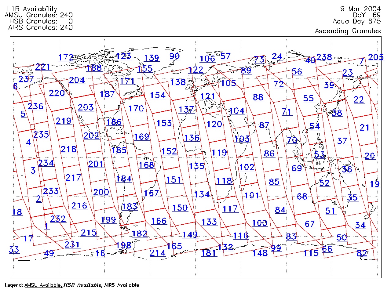
| AIRS.2004.03.09.GranuleMap.Ascending.jpg | 2012-06-06T18:00:47GMT | 652746 |
|
||||||
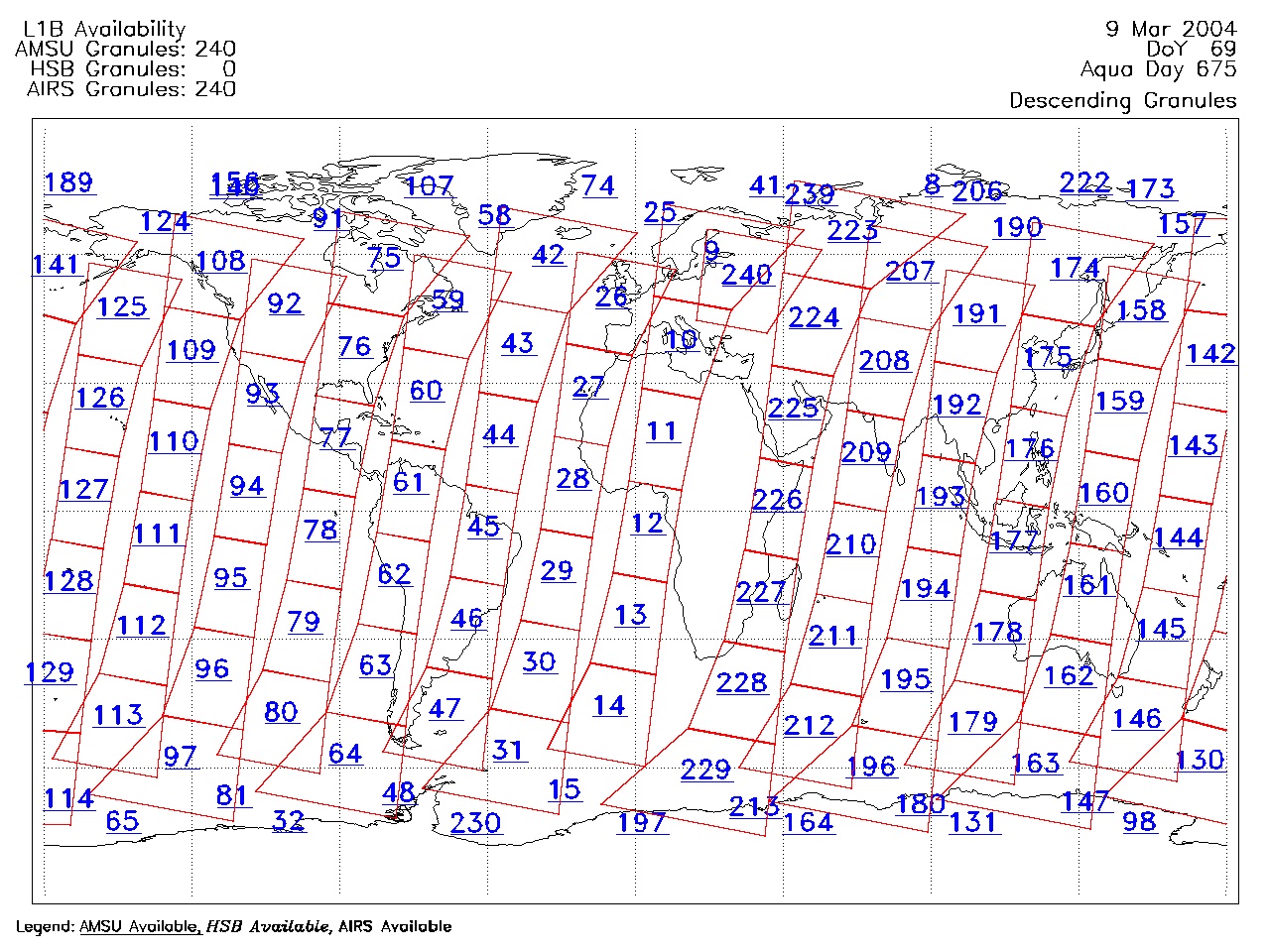
| AIRS.2004.03.09.GranuleMap.Descending.jpg | 2012-06-06T18:00:47GMT | 630764 |
|
||||||
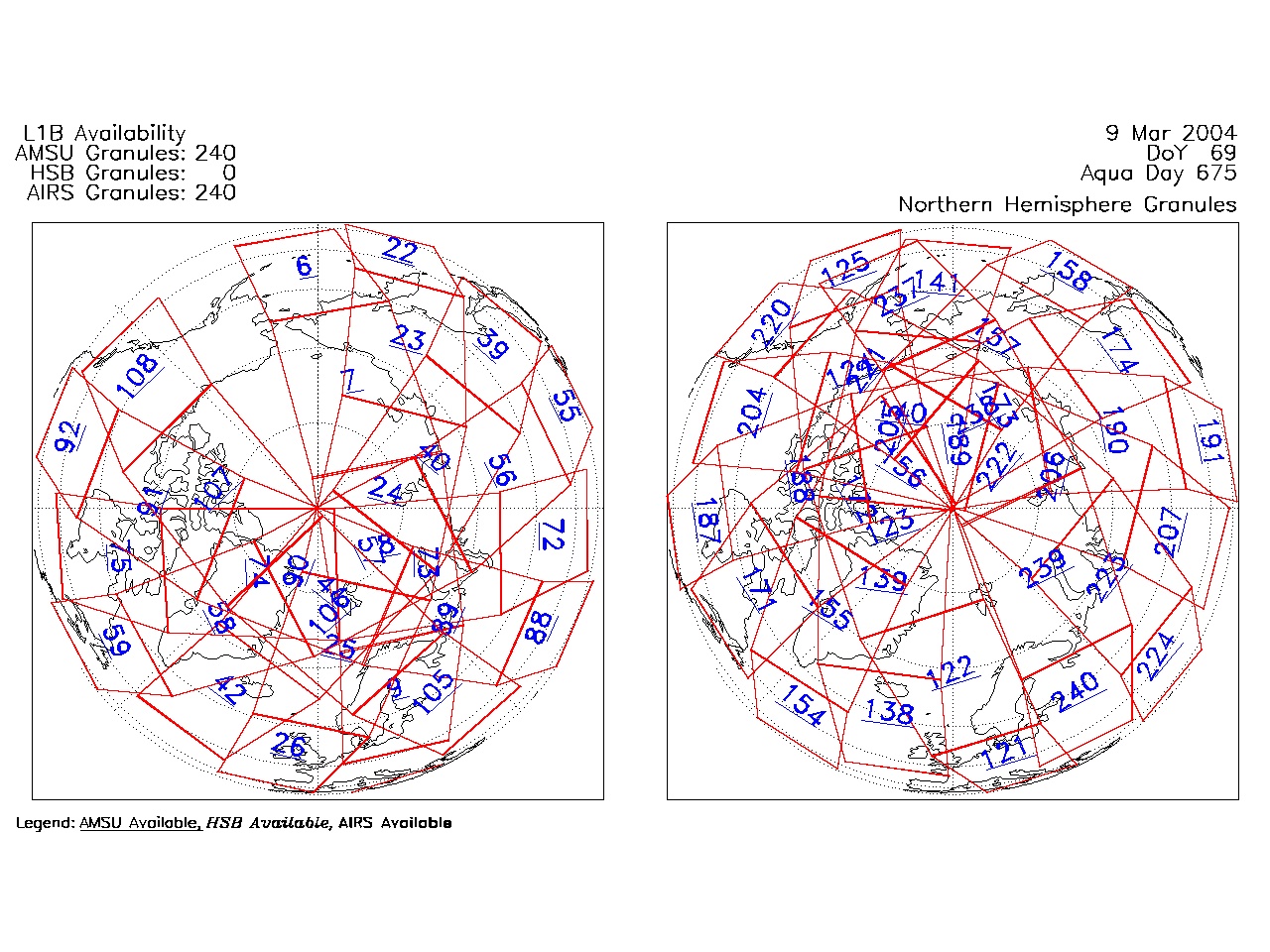
| AIRS.2004.03.09.GranuleMap.North.jpg | 2012-06-06T18:00:47GMT | 539753 |
|
||||||
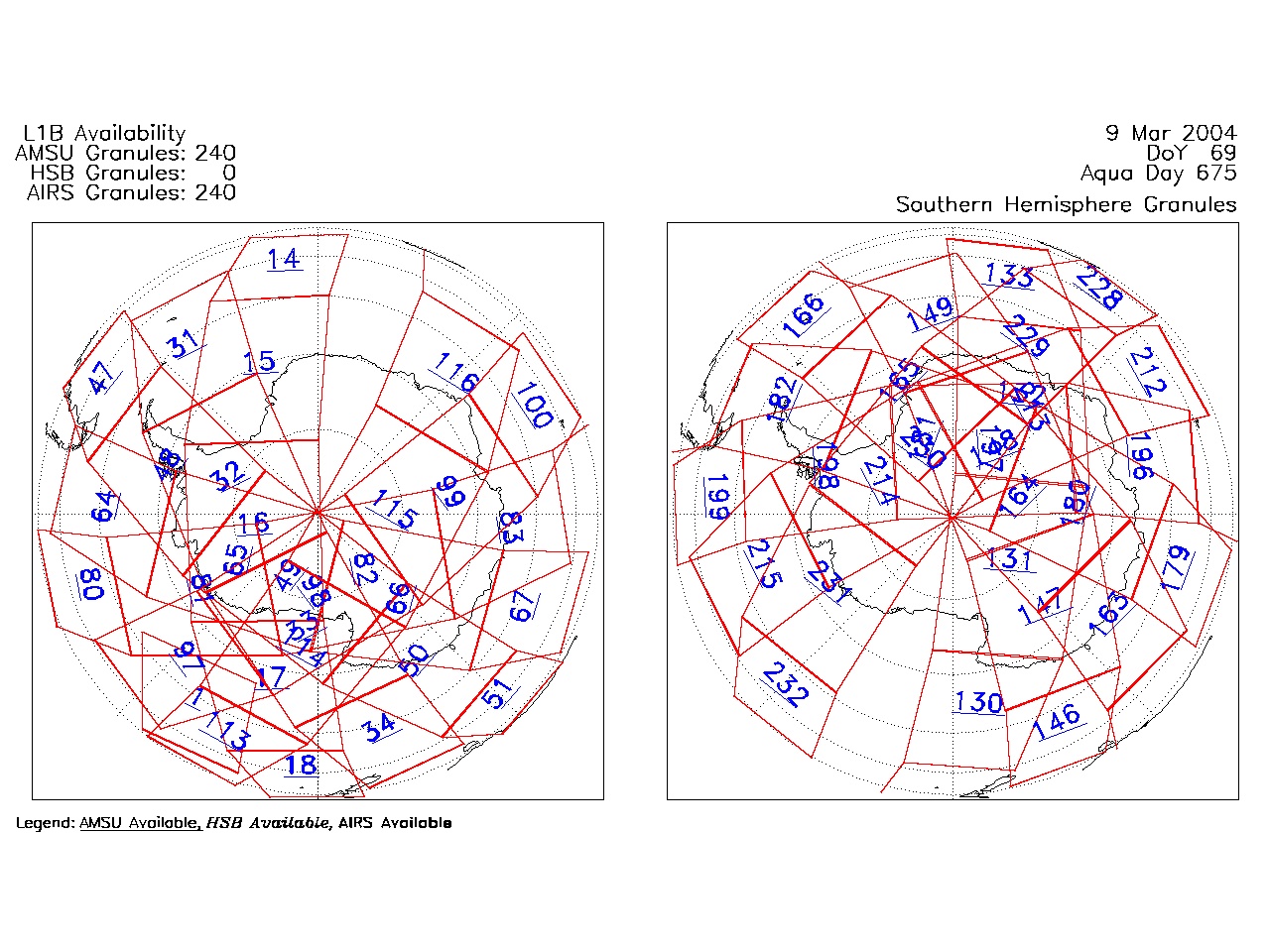
| AIRS.2004.03.09.GranuleMap.South.jpg | 2012-06-06T18:00:47GMT | 487329 |
|
||||||
| AIRS.2004.03.09.GranuleMap.pdf | 2012-06-06T18:00:46GMT | 333331 |
|
||||||
| AIRS.2004.03.09.GranuleMap.xml | 2012-06-06T18:00:47GMT | 2533 |
|
|
THREDDS Catalog XML
|