| Name | Last Modified | Size | DAP Response Links | Dataset Viewers | |||||
|---|---|---|---|---|---|---|---|---|---|
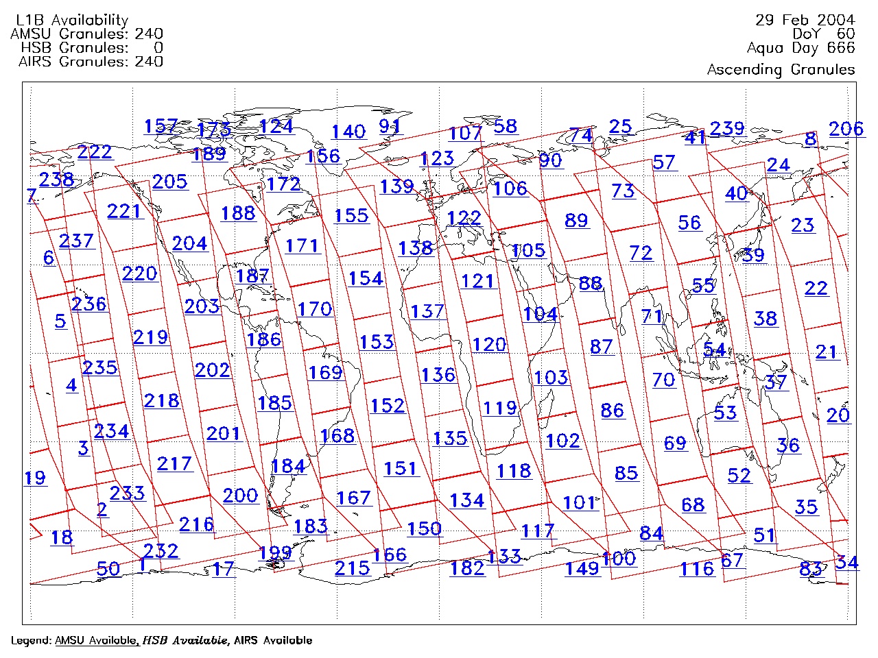
| AIRS.2004.02.29.GranuleMap.Ascending.jpg | 2012-06-06T18:00:31GMT | 660239 |
|
||||||
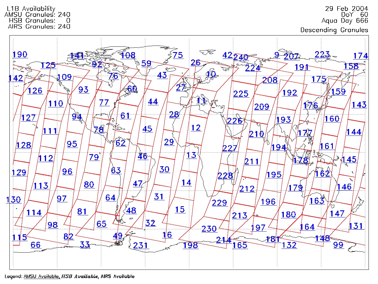
| AIRS.2004.02.29.GranuleMap.Descending.jpg | 2012-06-06T18:00:31GMT | 626011 |
|
||||||
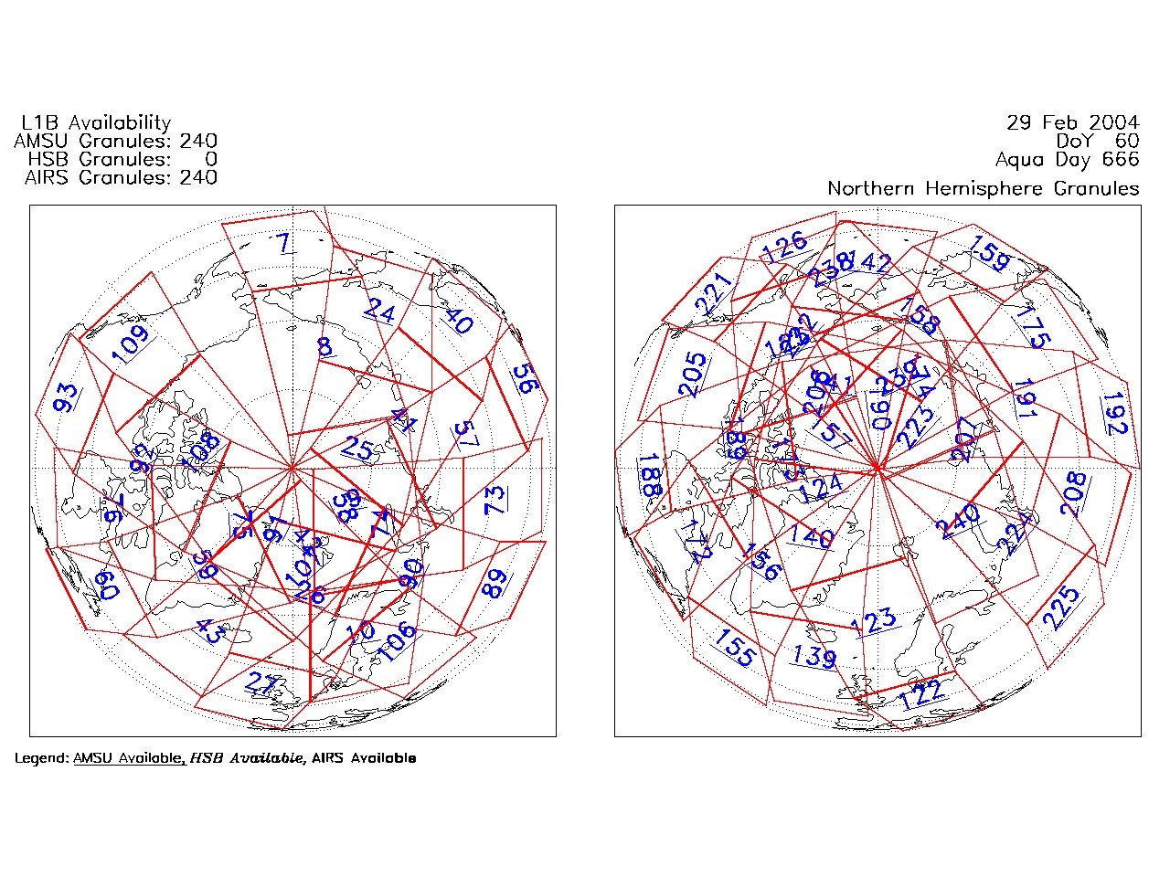
| AIRS.2004.02.29.GranuleMap.North.jpg | 2012-06-06T18:00:31GMT | 531758 |
|
||||||
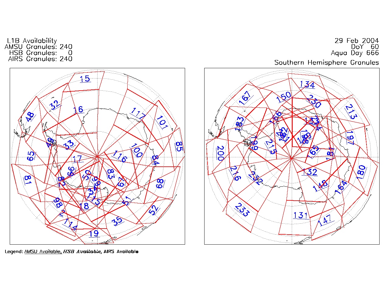
| AIRS.2004.02.29.GranuleMap.South.jpg | 2012-06-06T18:00:32GMT | 489570 |
|
||||||
| AIRS.2004.02.29.GranuleMap.pdf | 2012-06-06T18:00:31GMT | 333176 |
|
||||||
| AIRS.2004.02.29.GranuleMap.xml | 2012-06-06T18:00:32GMT | 2531 |
|
|
THREDDS Catalog XML
|