| Name | Last Modified | Size | DAP Response Links | Dataset Viewers | |||||
|---|---|---|---|---|---|---|---|---|---|
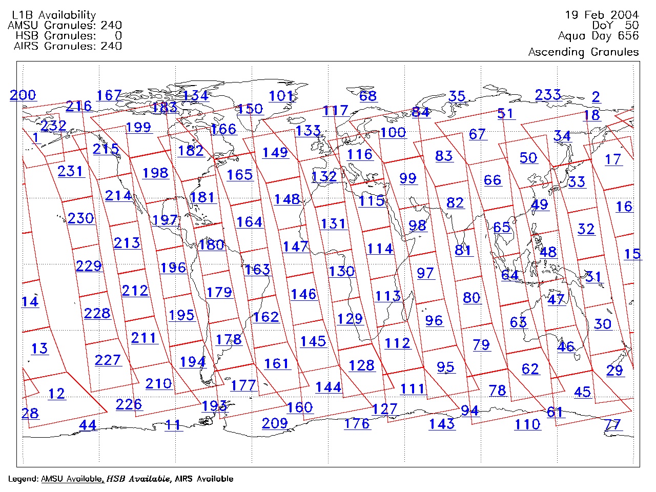
| AIRS.2004.02.19.GranuleMap.Ascending.jpg | 2012-06-06T18:00:11GMT | 624595 |
|
||||||
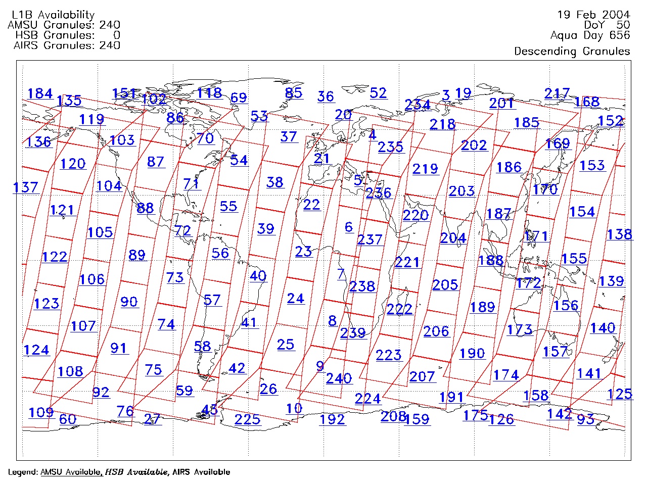
| AIRS.2004.02.19.GranuleMap.Descending.jpg | 2012-06-06T18:00:11GMT | 656005 |
|
||||||
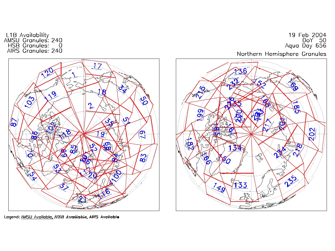
| AIRS.2004.02.19.GranuleMap.North.jpg | 2012-06-06T18:00:11GMT | 537667 |
|
||||||
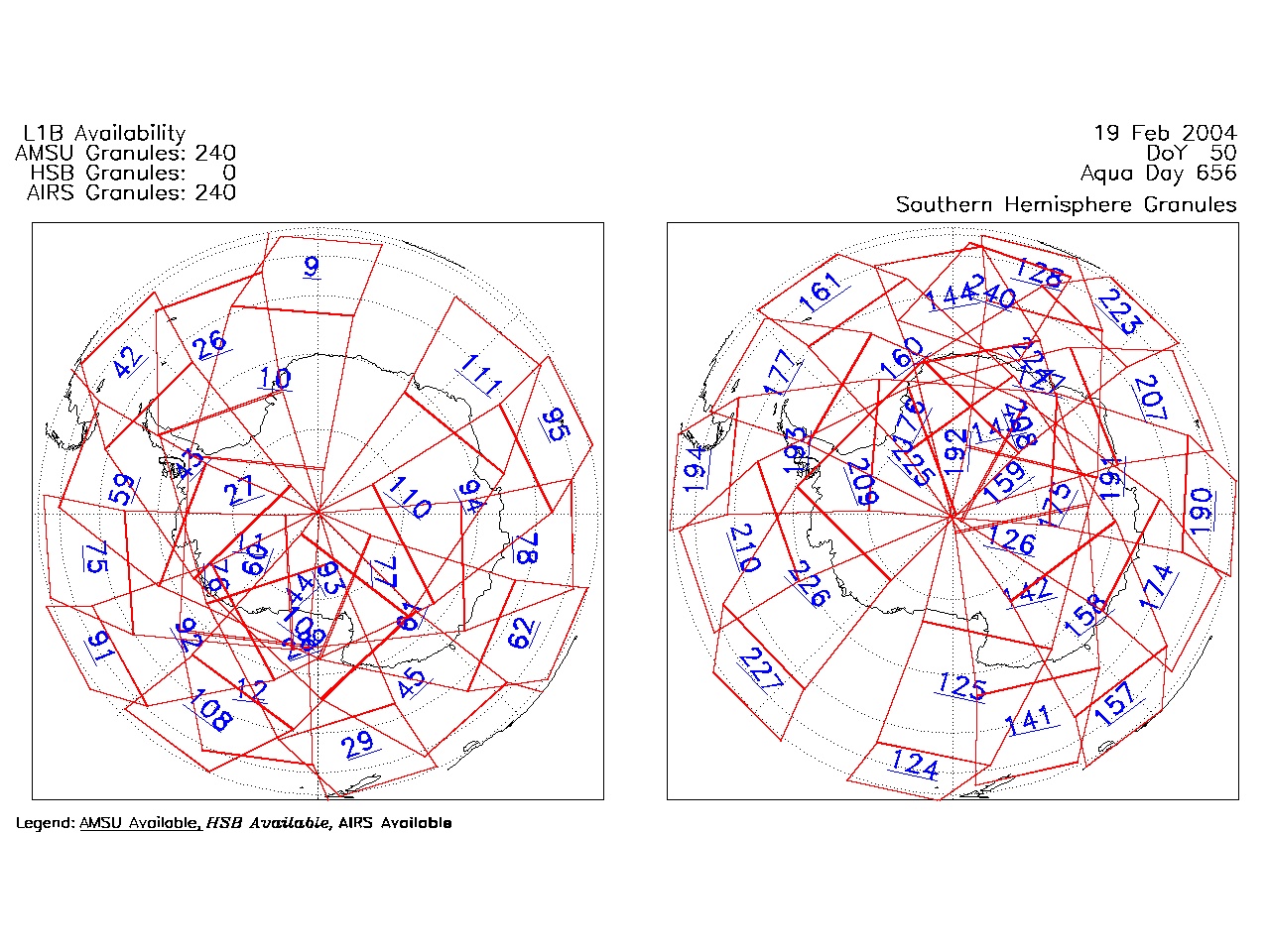
| AIRS.2004.02.19.GranuleMap.South.jpg | 2012-06-06T18:00:11GMT | 493830 |
|
||||||
| AIRS.2004.02.19.GranuleMap.pdf | 2012-06-06T18:00:11GMT | 333220 |
|
||||||
| AIRS.2004.02.19.GranuleMap.xml | 2012-06-06T18:00:11GMT | 2534 |
|
|
THREDDS Catalog XML
|