| Name | Last Modified | Size | DAP Response Links | Dataset Viewers | |||||
|---|---|---|---|---|---|---|---|---|---|
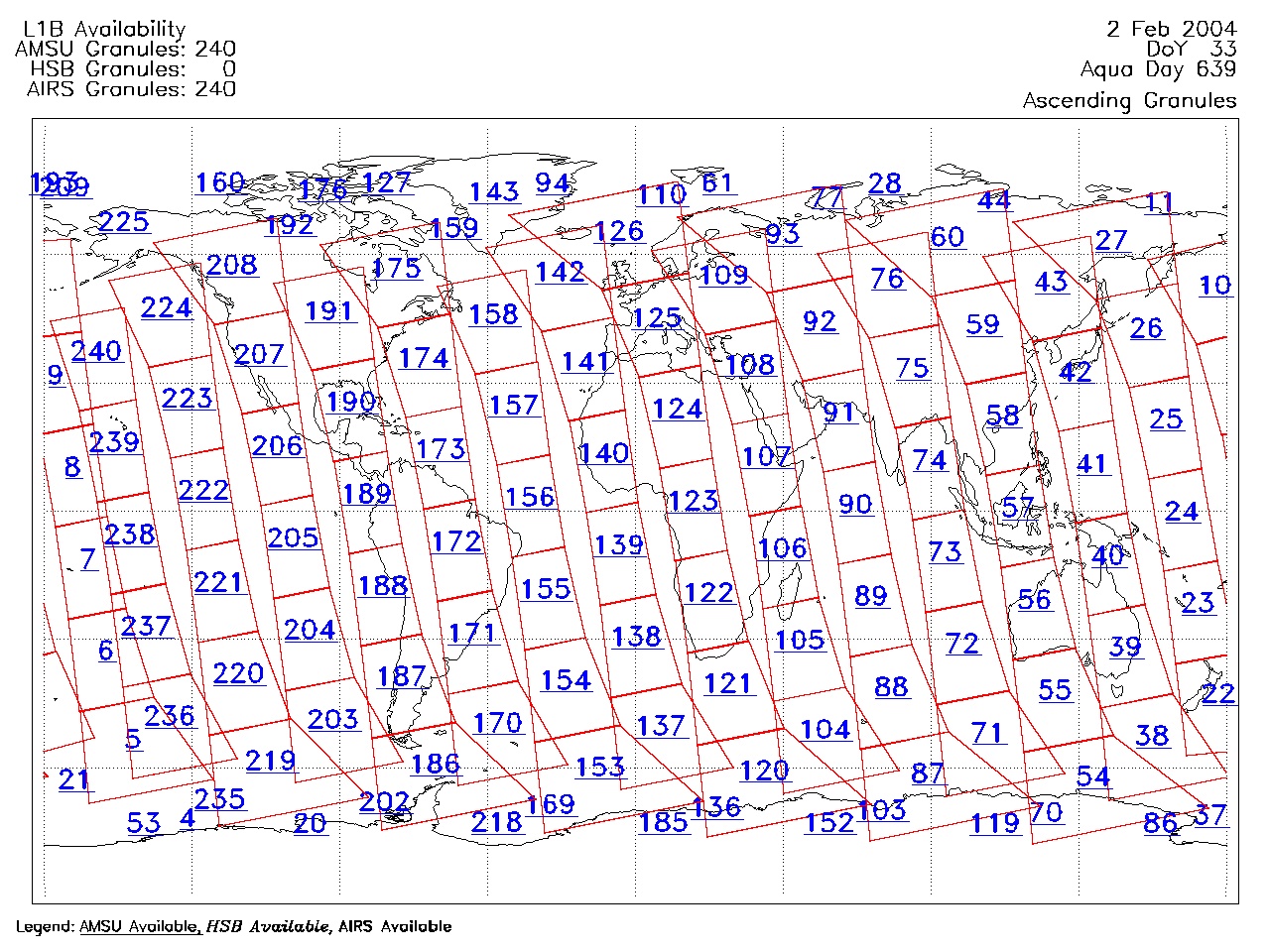
| AIRS.2004.02.02.GranuleMap.Ascending.jpg | 2012-06-06T17:59:46GMT | 654236 |
|
||||||
| AIRS.2004.02.02.GranuleMap.Descending.jpg | 2012-06-06T17:59:46GMT | 629200 |
|
||||||
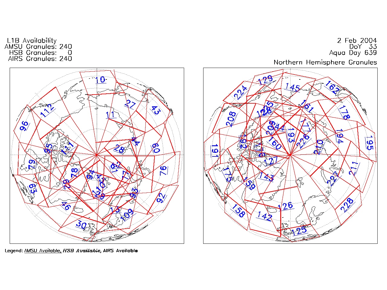
| AIRS.2004.02.02.GranuleMap.North.jpg | 2012-06-06T17:59:46GMT | 523717 |
|
||||||
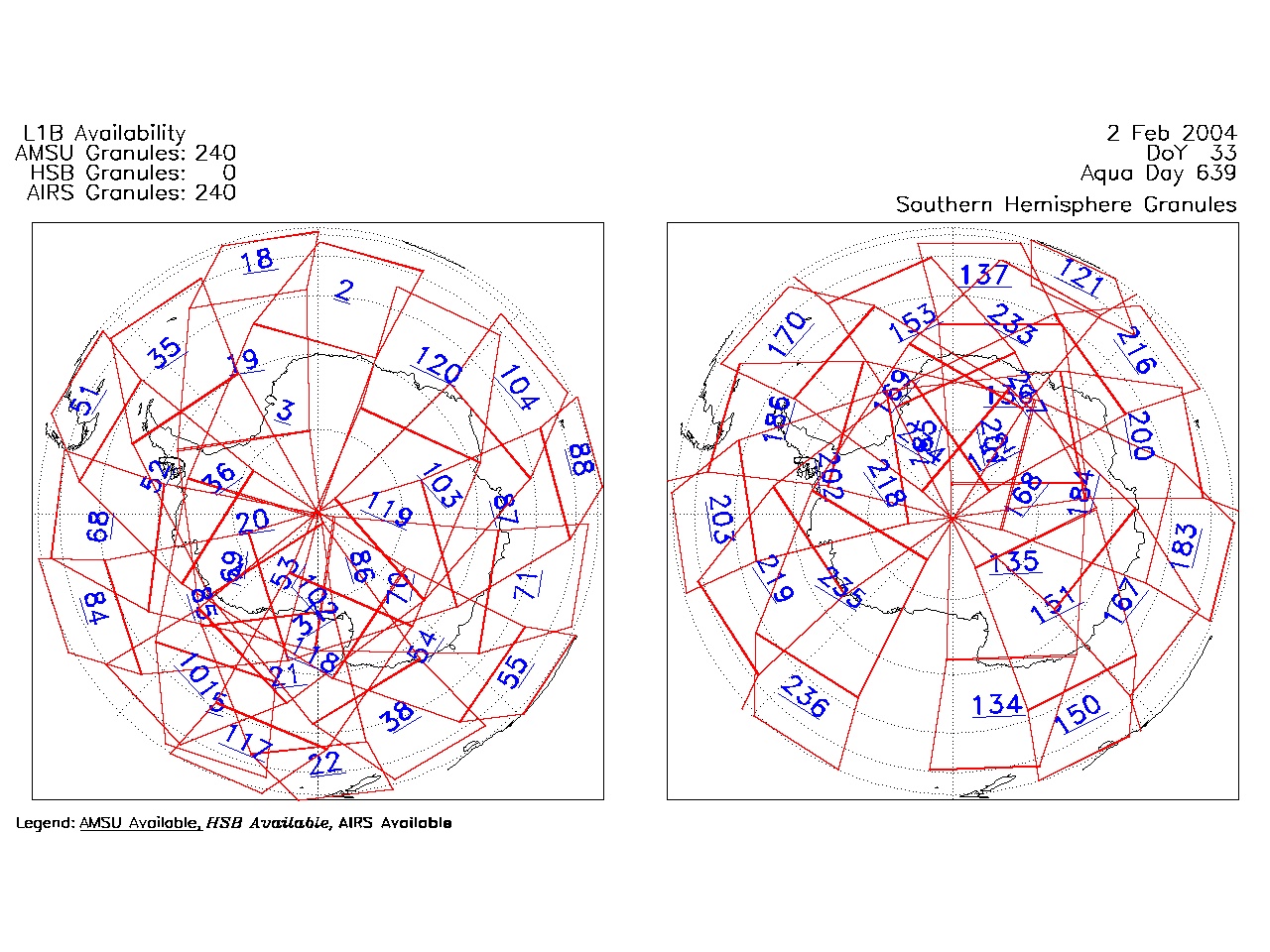
| AIRS.2004.02.02.GranuleMap.South.jpg | 2012-06-06T17:59:46GMT | 504168 |
|
||||||
| AIRS.2004.02.02.GranuleMap.pdf | 2012-06-06T17:59:46GMT | 333003 |
|
||||||
| AIRS.2004.02.02.GranuleMap.xml | 2012-06-06T17:59:46GMT | 2532 |
|
|
THREDDS Catalog XML
|