| Name | Last Modified | Size | DAP Response Links | Dataset Viewers | |||||
|---|---|---|---|---|---|---|---|---|---|
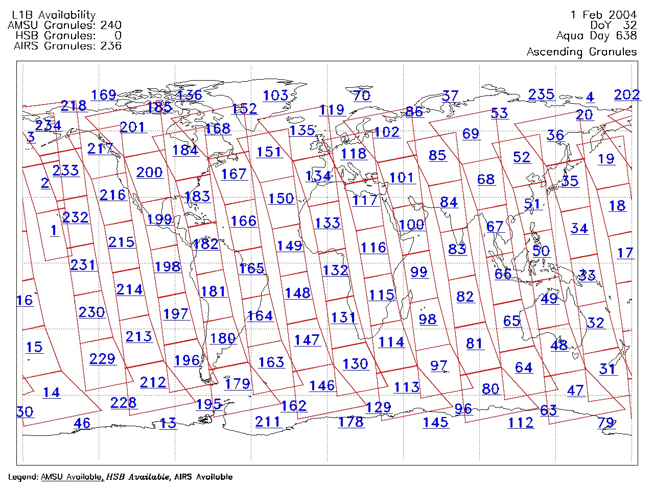
| AIRS.2004.02.01.GranuleMap.Ascending.jpg | 2012-06-06T17:59:41GMT | 631100 |
|
||||||
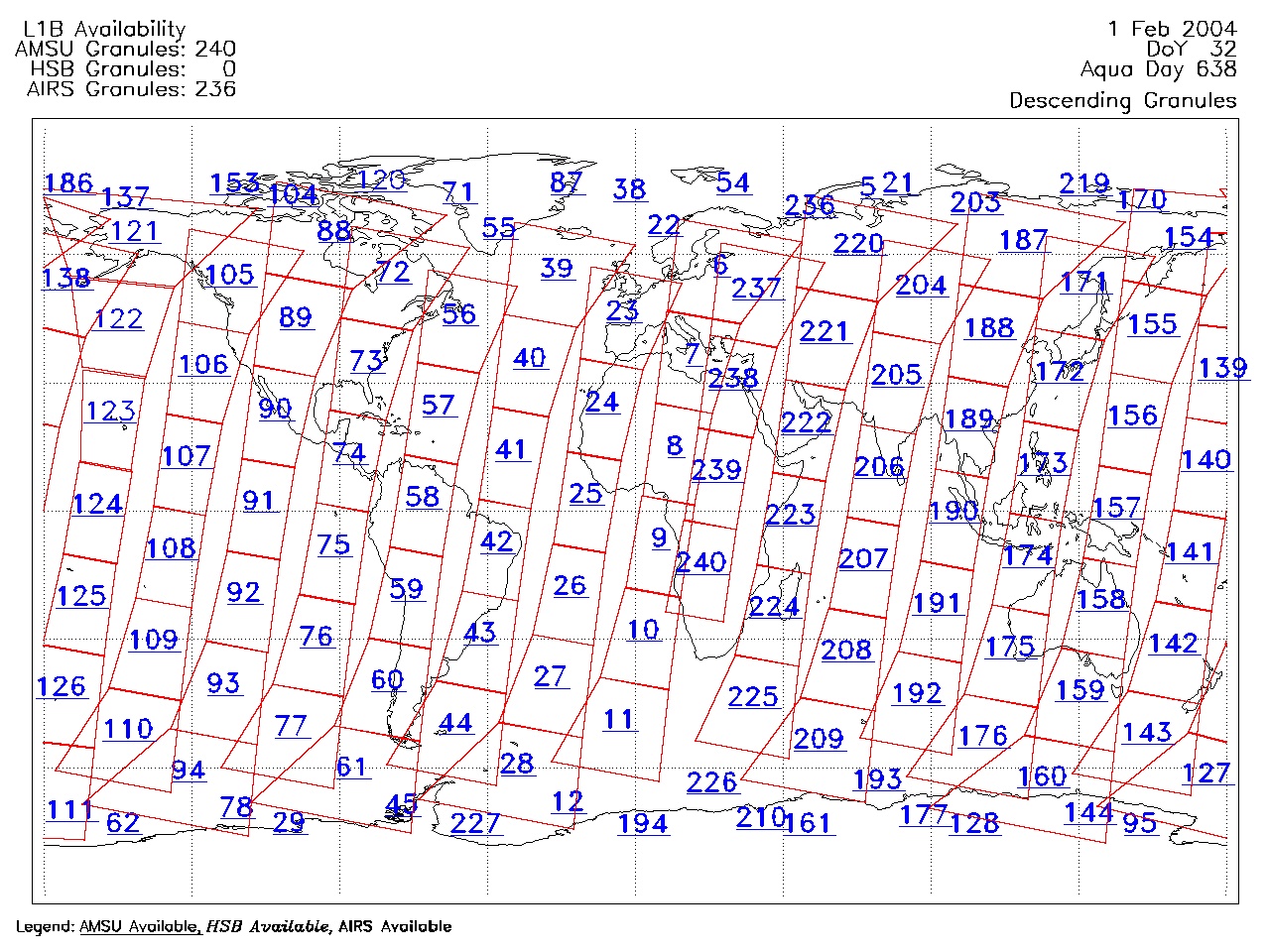
| AIRS.2004.02.01.GranuleMap.Descending.jpg | 2012-06-06T17:59:41GMT | 648398 |
|
||||||
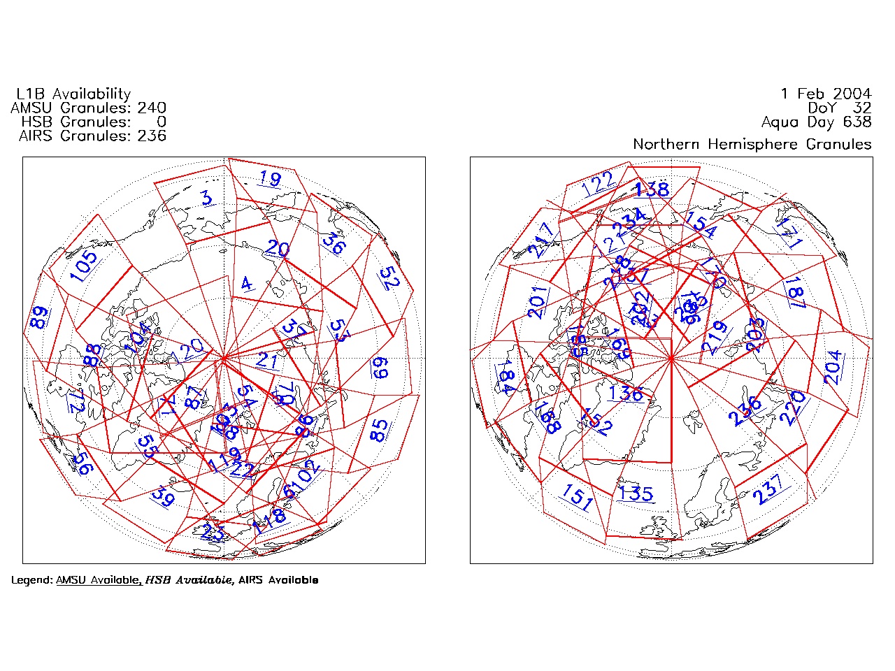
| AIRS.2004.02.01.GranuleMap.North.jpg | 2012-06-06T17:59:41GMT | 535745 |
|
||||||
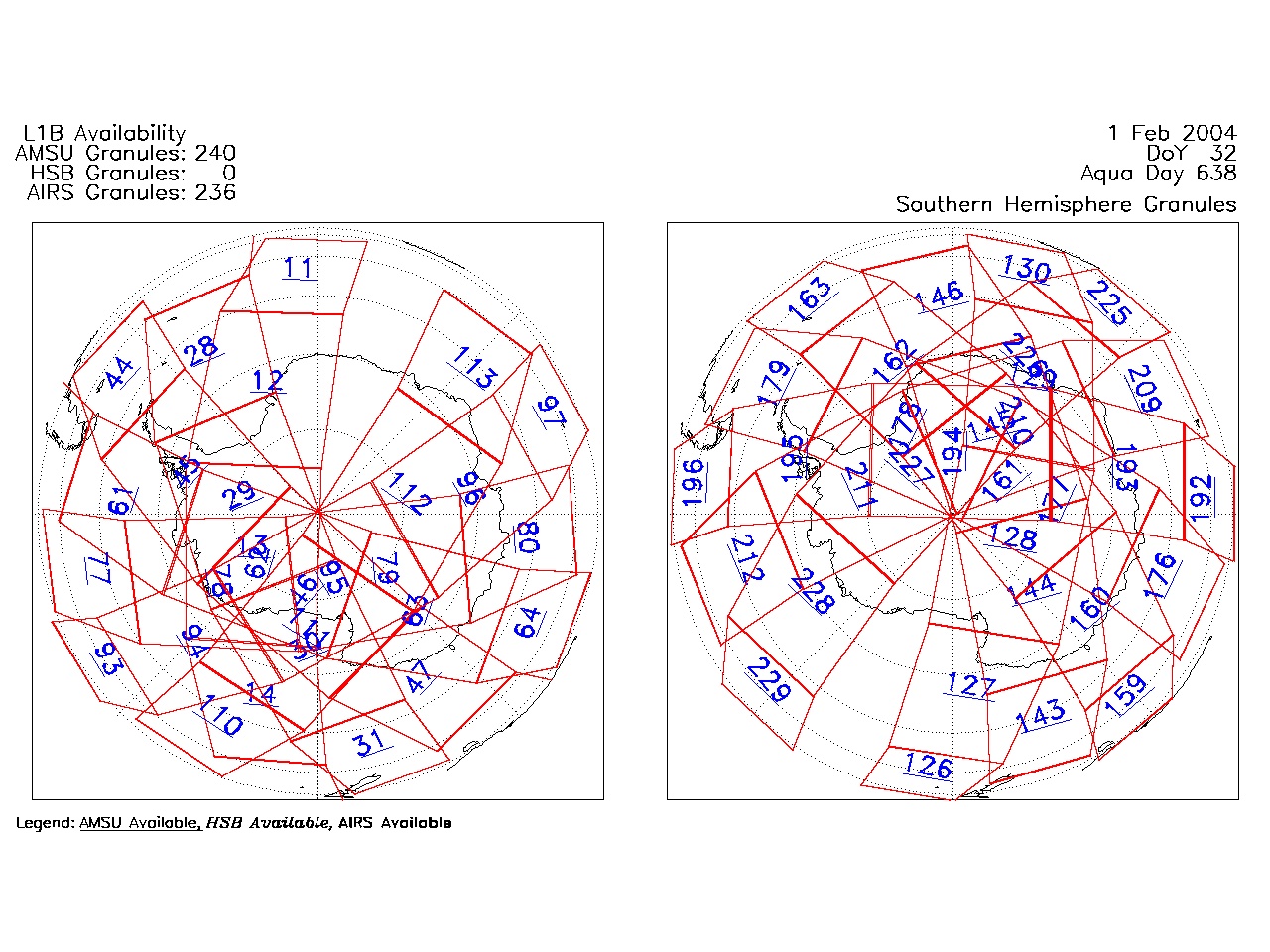
| AIRS.2004.02.01.GranuleMap.South.jpg | 2012-06-06T17:59:41GMT | 491089 |
|
||||||
| AIRS.2004.02.01.GranuleMap.pdf | 2012-06-06T17:59:41GMT | 333255 |
|
||||||
| AIRS.2004.02.01.GranuleMap.xml | 2012-06-06T17:59:41GMT | 2534 |
|
|
THREDDS Catalog XML
|