| Name | Last Modified | Size | DAP Response Links | Dataset Viewers | |||||
|---|---|---|---|---|---|---|---|---|---|
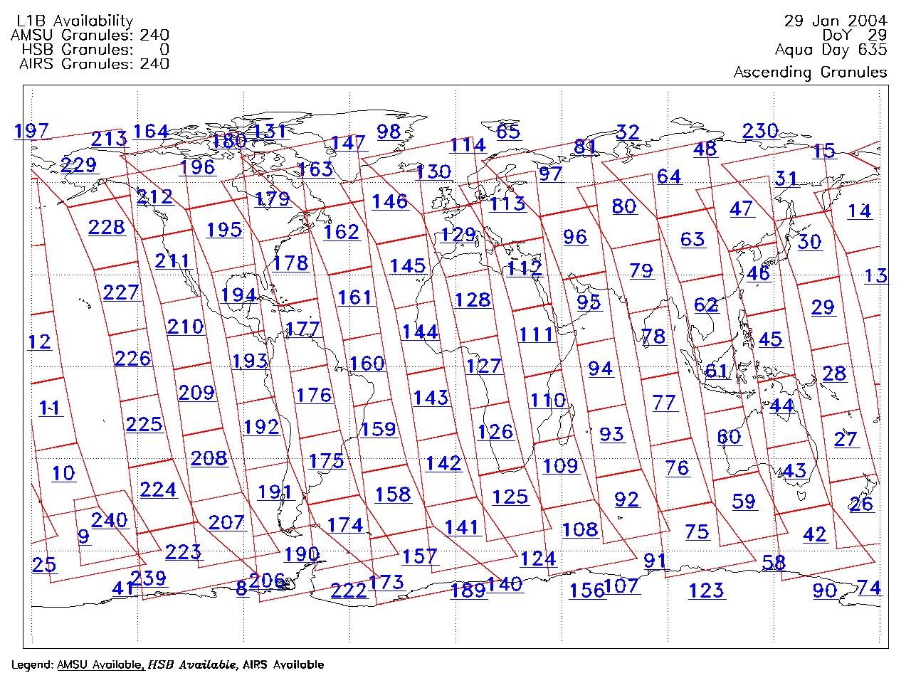
| AIRS.2004.01.29.GranuleMap.Ascending.jpg | 2012-06-06T17:59:35GMT | 638155 |
|
||||||
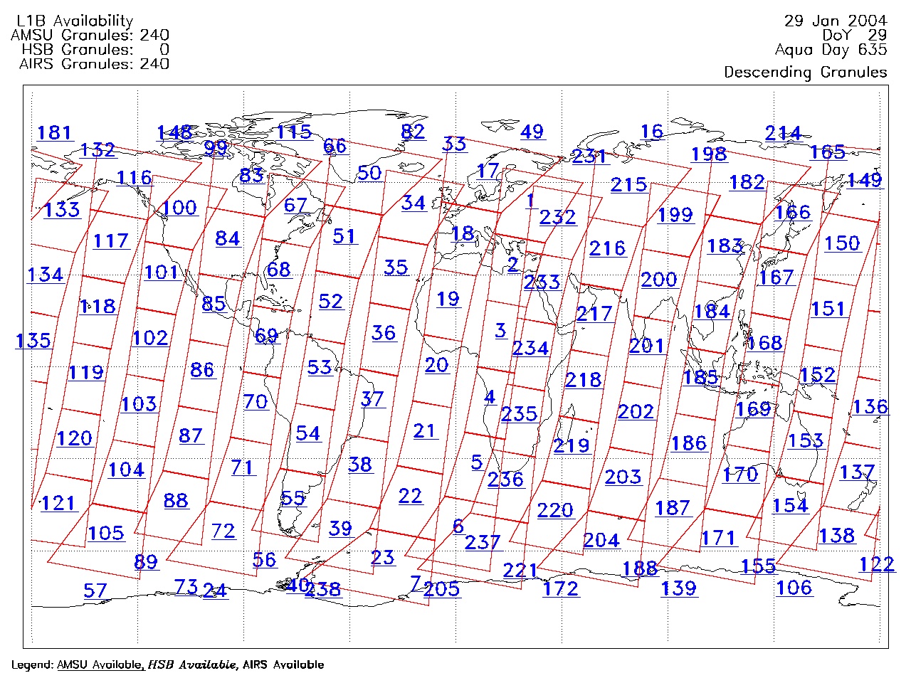
| AIRS.2004.01.29.GranuleMap.Descending.jpg | 2012-06-06T17:59:35GMT | 640606 |
|
||||||
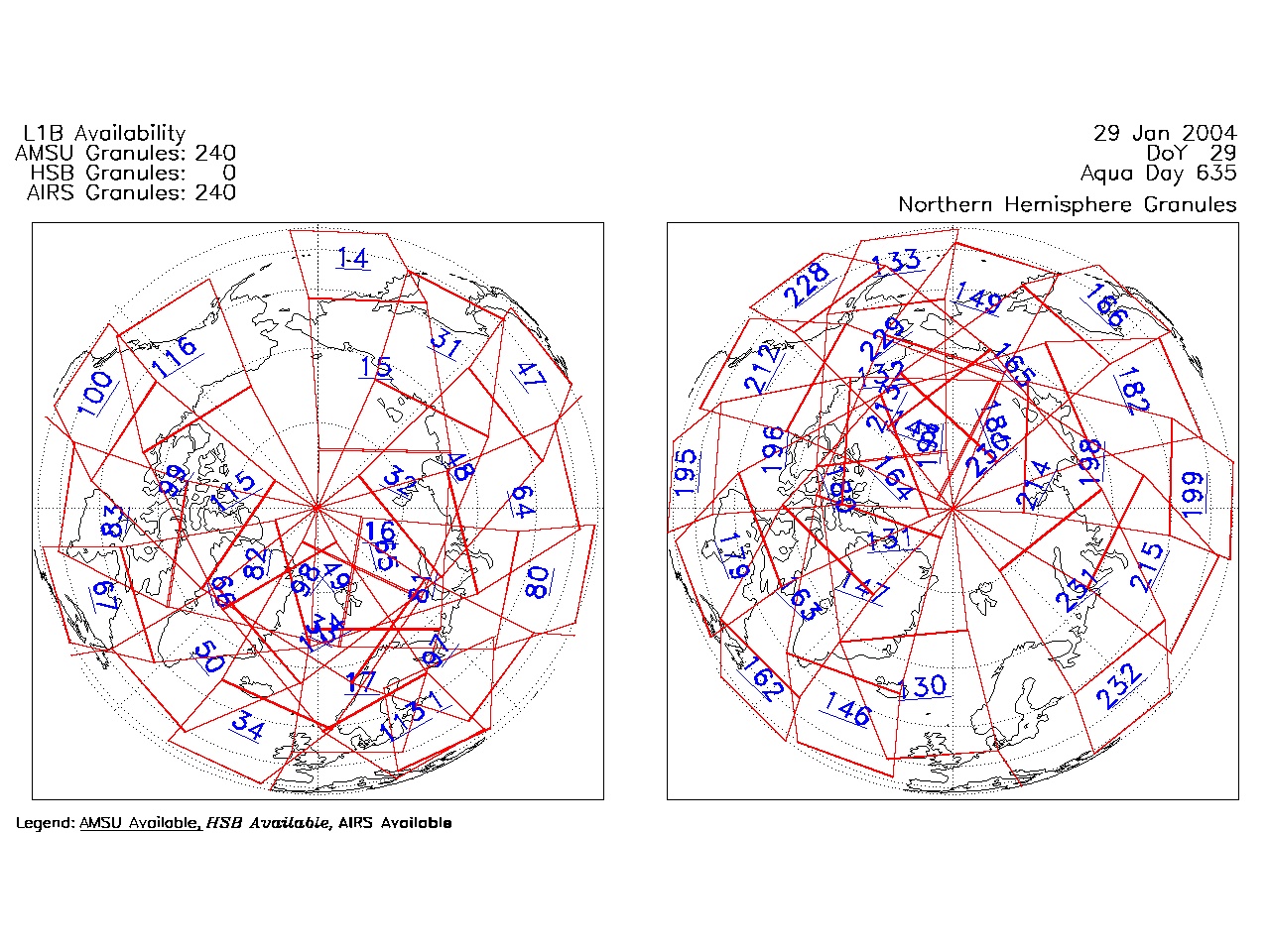
| AIRS.2004.01.29.GranuleMap.North.jpg | 2012-06-06T17:59:36GMT | 522549 |
|
||||||
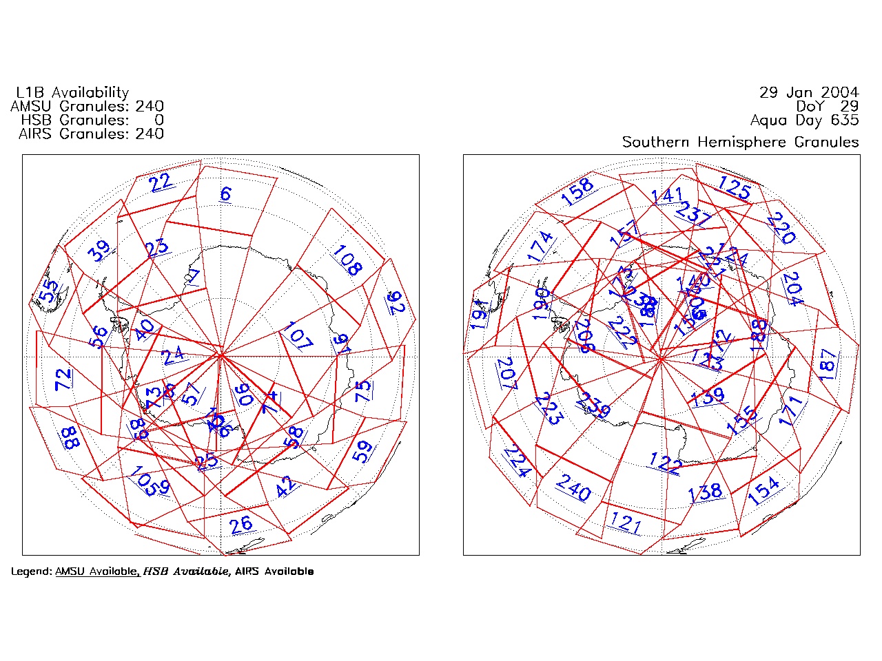
| AIRS.2004.01.29.GranuleMap.South.jpg | 2012-06-06T17:59:36GMT | 505214 |
|
||||||
| AIRS.2004.01.29.GranuleMap.pdf | 2012-06-06T17:59:35GMT | 333232 |
|
||||||
| AIRS.2004.01.29.GranuleMap.xml | 2012-06-06T17:59:36GMT | 2534 |
|
|
THREDDS Catalog XML
|