| Name | Last Modified | Size | DAP Response Links | Dataset Viewers | |||||
|---|---|---|---|---|---|---|---|---|---|
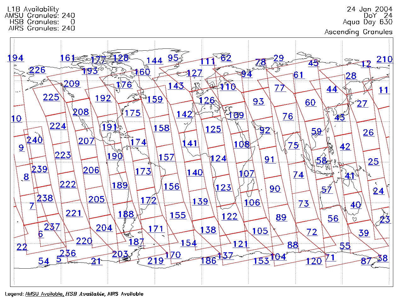
| AIRS.2004.01.24.GranuleMap.Ascending.jpg | 2012-06-06T17:59:30GMT | 651715 |
|
||||||
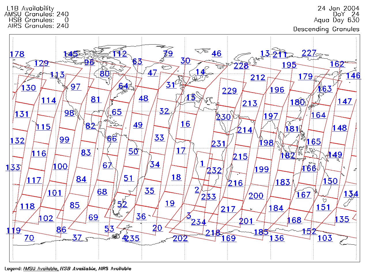
| AIRS.2004.01.24.GranuleMap.Descending.jpg | 2012-06-06T17:59:30GMT | 634143 |
|
||||||
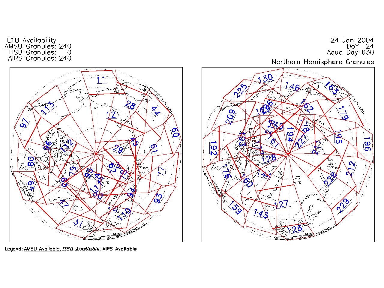
| AIRS.2004.01.24.GranuleMap.North.jpg | 2012-06-06T17:59:31GMT | 527181 |
|
||||||
| AIRS.2004.01.24.GranuleMap.South.jpg | 2012-06-06T17:59:31GMT | 501453 |
|
||||||
| AIRS.2004.01.24.GranuleMap.pdf | 2012-06-06T17:59:30GMT | 332987 |
|
||||||
| AIRS.2004.01.24.GranuleMap.xml | 2012-06-06T17:59:31GMT | 2534 |
|
|
THREDDS Catalog XML
|