| Name | Last Modified | Size | DAP Response Links | Dataset Viewers | |||||
|---|---|---|---|---|---|---|---|---|---|
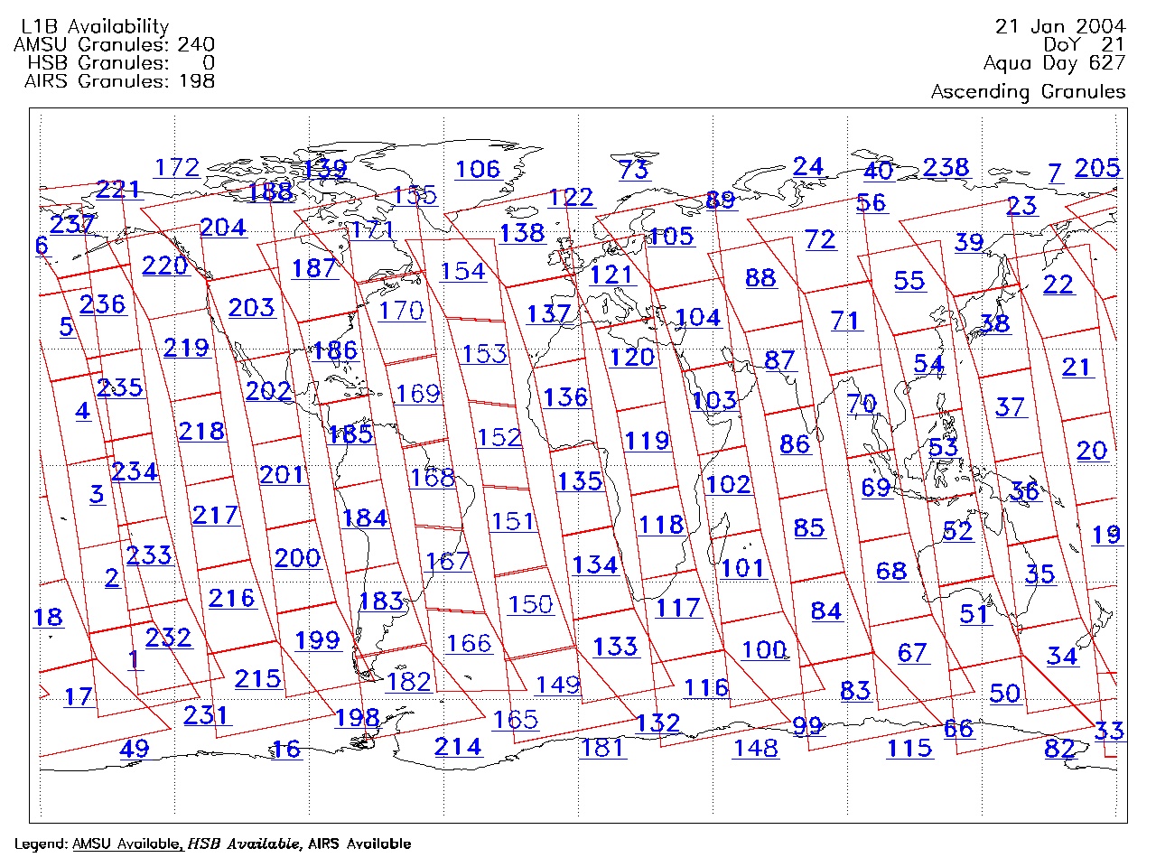
| AIRS.2004.01.21.GranuleMap.Ascending.jpg | 2012-06-06T17:59:27GMT | 642309 |
|
||||||
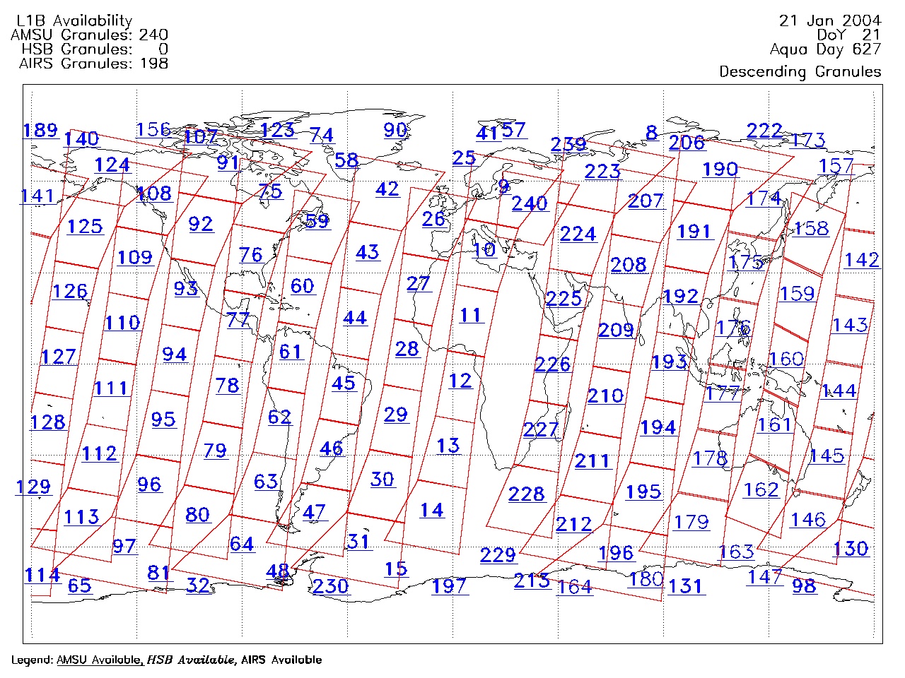
| AIRS.2004.01.21.GranuleMap.Descending.jpg | 2012-06-06T17:59:27GMT | 635375 |
|
||||||
| AIRS.2004.01.21.GranuleMap.North.jpg | 2012-06-06T17:59:27GMT | 536686 |
|
||||||
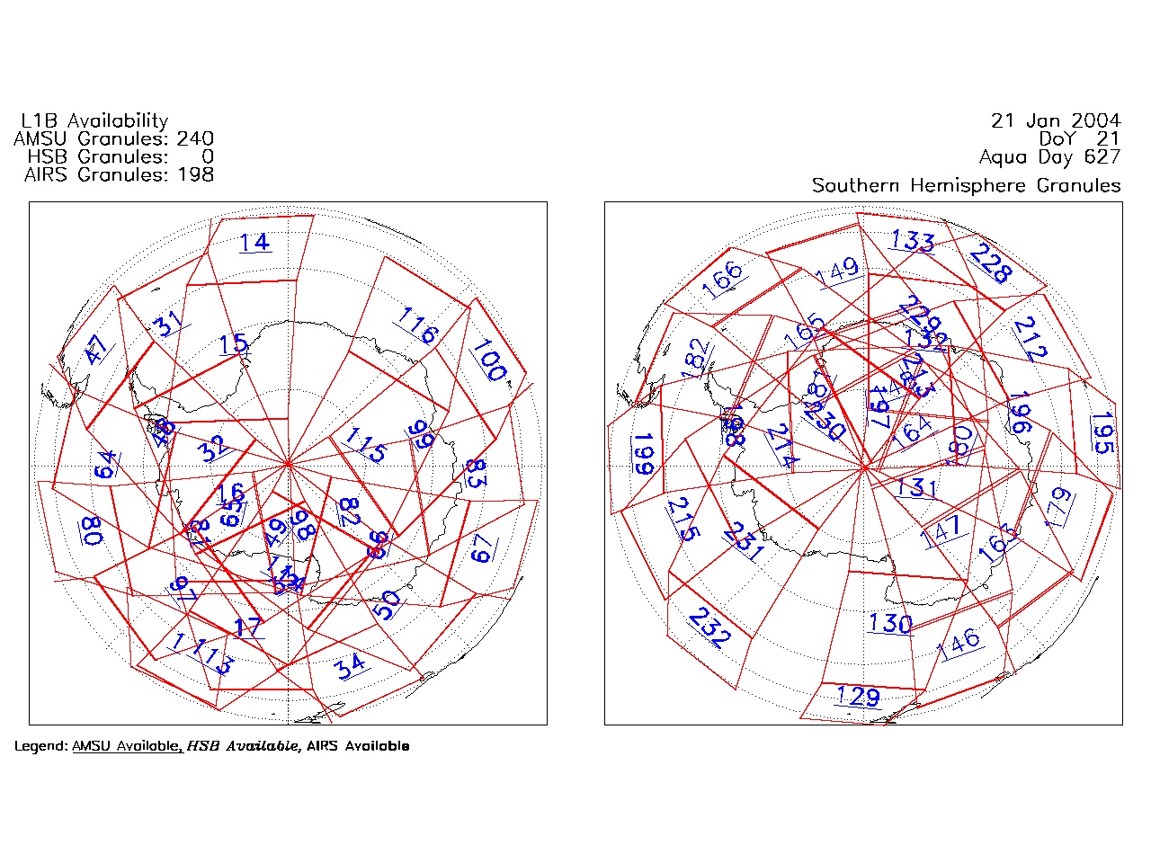
| AIRS.2004.01.21.GranuleMap.South.jpg | 2012-06-06T17:59:28GMT | 487703 |
|
||||||
| AIRS.2004.01.21.GranuleMap.pdf | 2012-06-06T17:59:27GMT | 333135 |
|
||||||
| AIRS.2004.01.21.GranuleMap.xml | 2012-06-06T17:59:28GMT | 2535 |
|
|
THREDDS Catalog XML
|