| Name | Last Modified | Size | DAP Response Links | Dataset Viewers | |||||
|---|---|---|---|---|---|---|---|---|---|
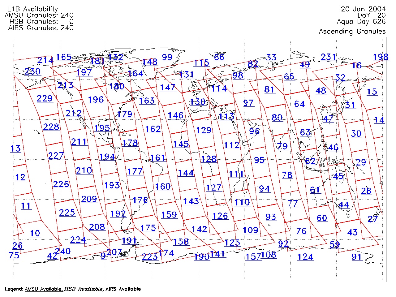
| AIRS.2004.01.20.GranuleMap.Ascending.jpg | 2012-06-06T17:59:20GMT | 634707 |
|
||||||
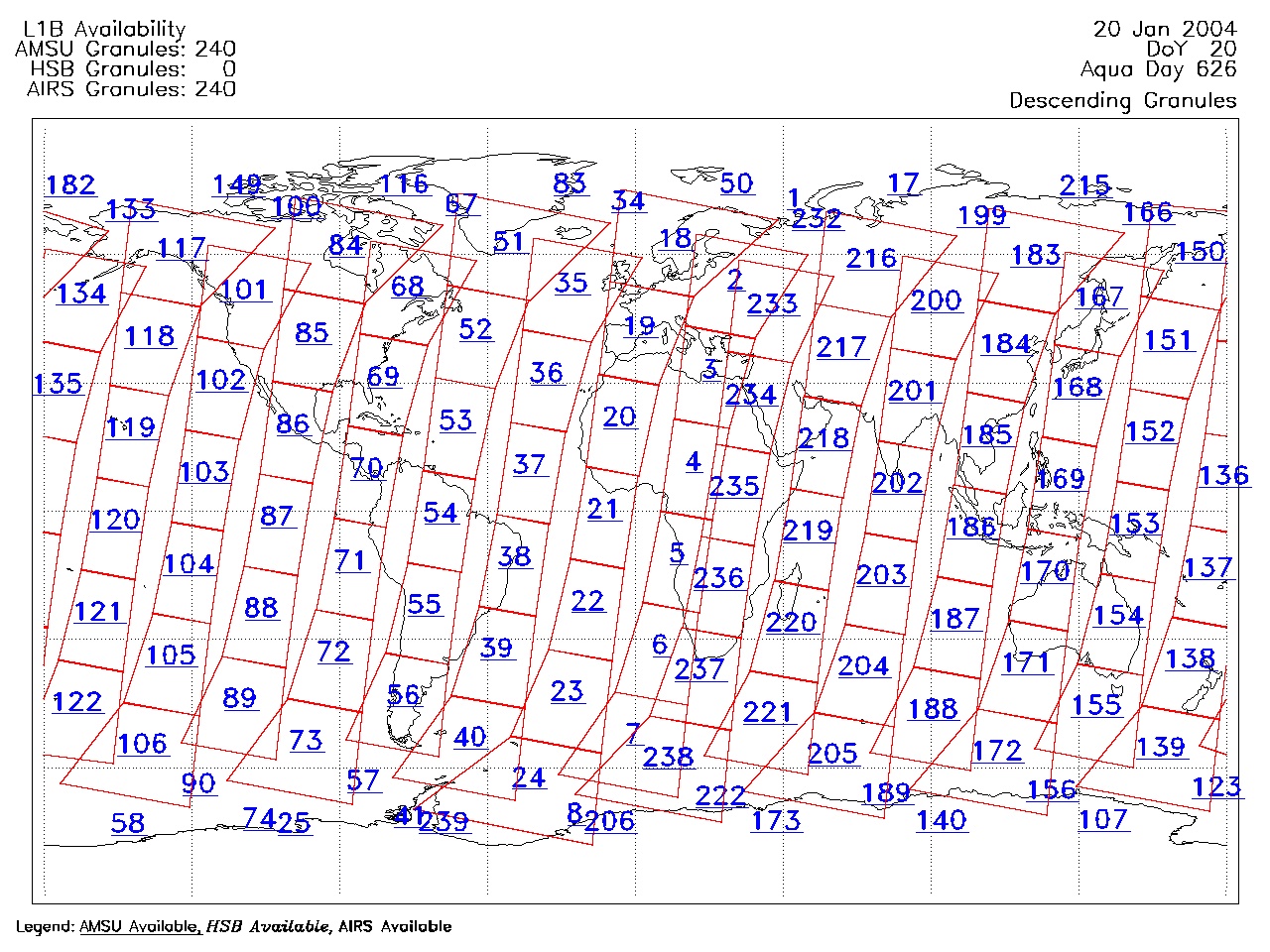
| AIRS.2004.01.20.GranuleMap.Descending.jpg | 2012-06-06T17:59:20GMT | 643575 |
|
||||||
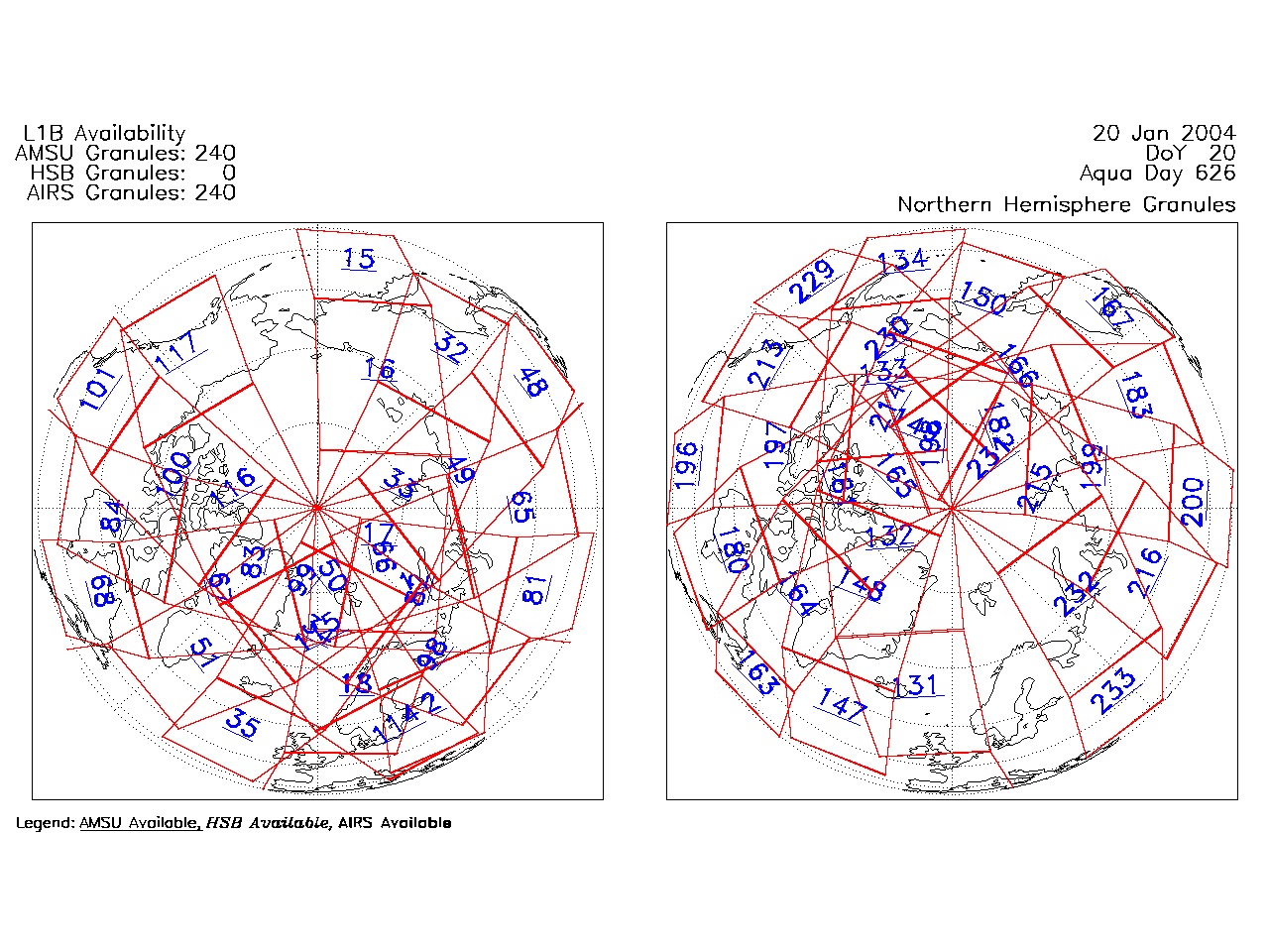
| AIRS.2004.01.20.GranuleMap.North.jpg | 2012-06-06T17:59:20GMT | 525536 |
|
||||||
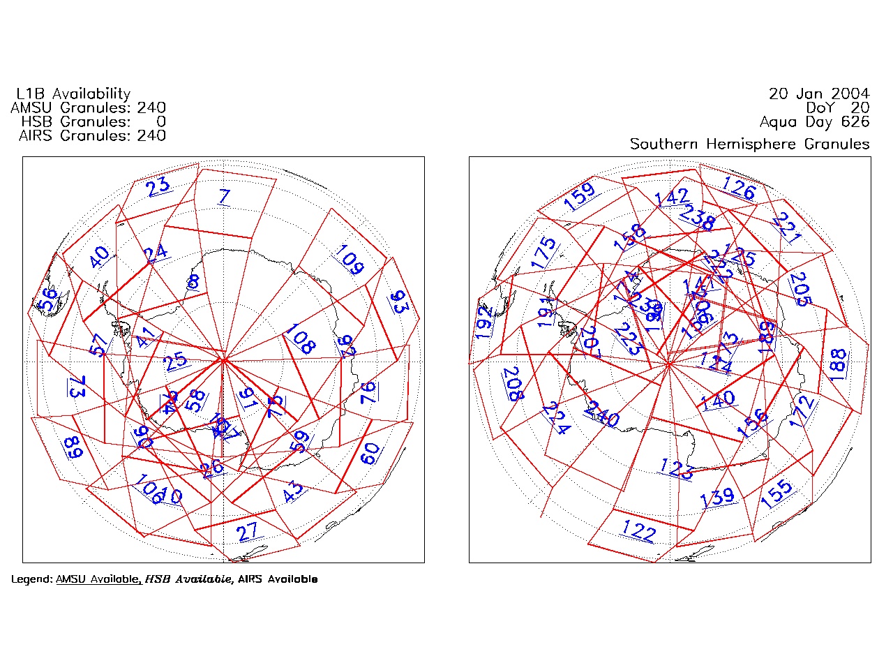
| AIRS.2004.01.20.GranuleMap.South.jpg | 2012-06-06T17:59:21GMT | 498194 |
|
||||||
| AIRS.2004.01.20.GranuleMap.pdf | 2012-06-06T17:59:20GMT | 333187 |
|
||||||
| AIRS.2004.01.20.GranuleMap.xml | 2012-06-06T17:59:21GMT | 2534 |
|
|
THREDDS Catalog XML
|