| Name | Last Modified | Size | DAP Response Links | Dataset Viewers | |||||
|---|---|---|---|---|---|---|---|---|---|
| AIRS.2004.01.04.GranuleMap.Ascending.jpg | 2012-06-06T17:58:55GMT | 626987 |
|
||||||
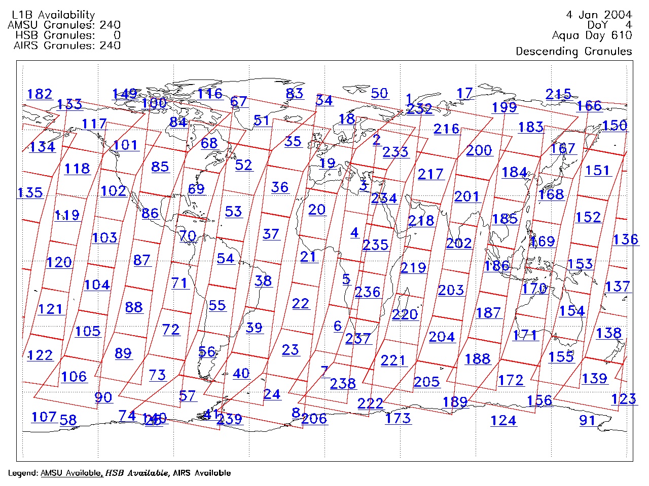
| AIRS.2004.01.04.GranuleMap.Descending.jpg | 2012-06-06T17:58:55GMT | 646248 |
|
||||||
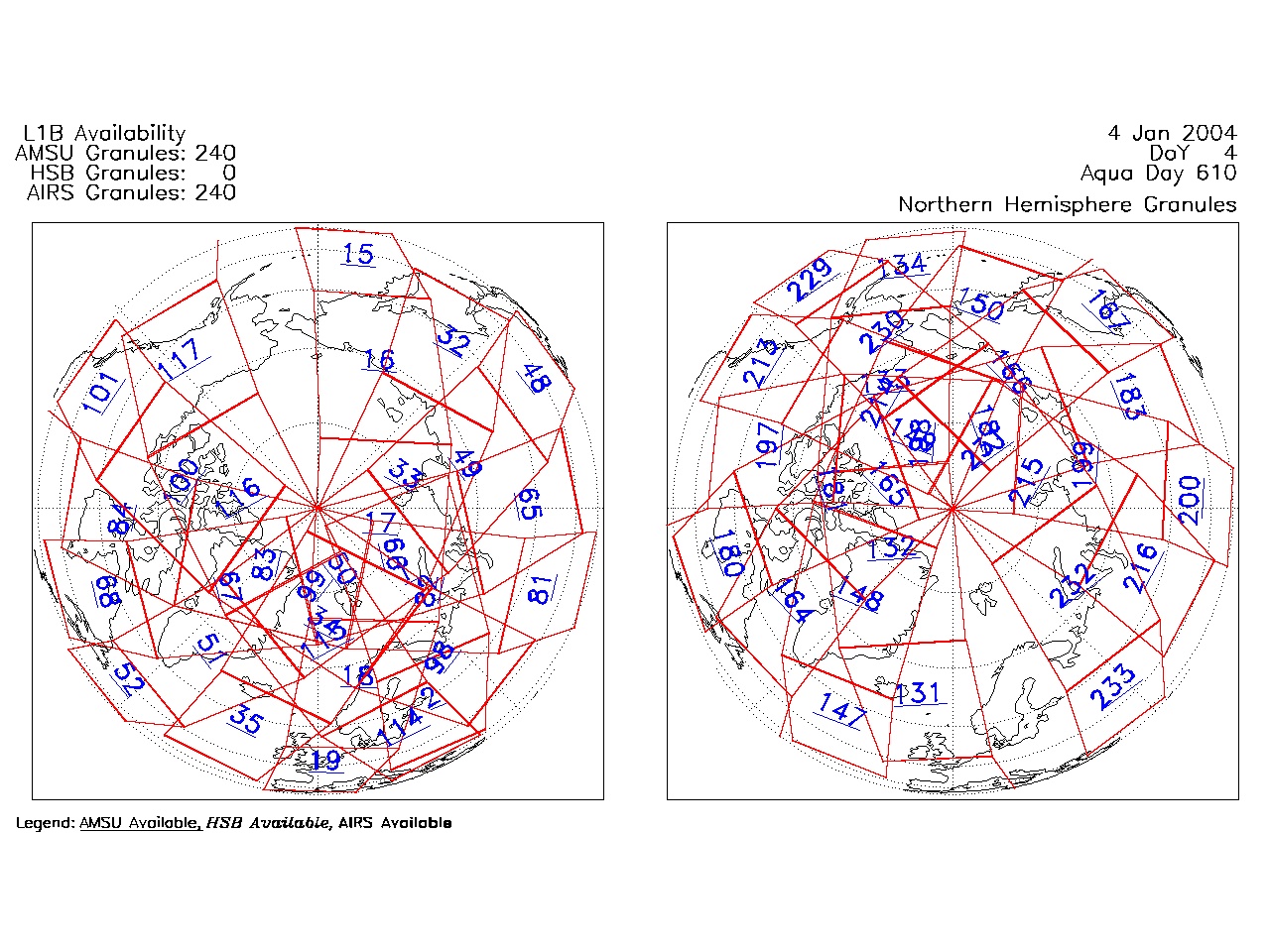
| AIRS.2004.01.04.GranuleMap.North.jpg | 2012-06-06T17:58:55GMT | 524418 |
|
||||||
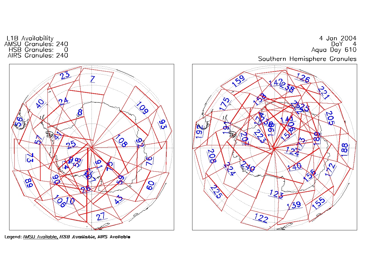
| AIRS.2004.01.04.GranuleMap.South.jpg | 2012-06-06T17:58:55GMT | 501204 |
|
||||||
| AIRS.2004.01.04.GranuleMap.pdf | 2012-06-06T17:58:55GMT | 333190 |
|
||||||
| AIRS.2004.01.04.GranuleMap.xml | 2012-06-06T17:58:55GMT | 2531 |
|
|
THREDDS Catalog XML
|