| Name | Last Modified | Size | DAP Response Links | Dataset Viewers | |||||
|---|---|---|---|---|---|---|---|---|---|
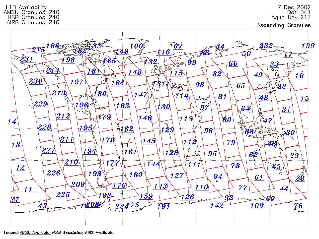
| AIRS.2002.12.07.GranuleMap.Ascending.jpg | 2012-06-06T17:47:11GMT | 636014 |
|
||||||
| AIRS.2002.12.07.GranuleMap.Descending.jpg | 2012-06-06T17:47:11GMT | 669479 |
|
||||||
| AIRS.2002.12.07.GranuleMap.North.jpg | 2012-06-06T17:47:11GMT | 532693 |
|
||||||
| AIRS.2002.12.07.GranuleMap.South.jpg | 2012-06-06T17:47:11GMT | 504138 |
|
||||||
| AIRS.2002.12.07.GranuleMap.pdf | 2012-06-06T17:47:10GMT | 335151 |
|
||||||
| AIRS.2002.12.07.GranuleMap.xml | 2012-06-06T17:47:11GMT | 2534 |
|
|
THREDDS Catalog XML
|