| Name | Last Modified | Size | DAP Response Links | Dataset Viewers | |||||
|---|---|---|---|---|---|---|---|---|---|
| AIRS.2002.10.29.GranuleMap.Ascending.jpg | 2012-06-06T17:46:02GMT | 633574 |
|
||||||
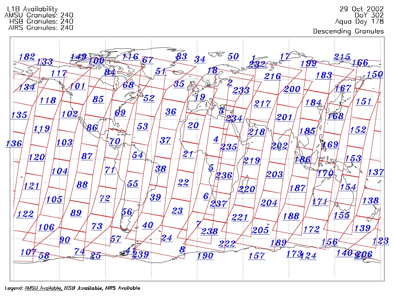
| AIRS.2002.10.29.GranuleMap.Descending.jpg | 2012-06-06T17:46:03GMT | 669276 |
|
||||||
| AIRS.2002.10.29.GranuleMap.North.jpg | 2012-06-06T17:46:03GMT | 531976 |
|
||||||
| AIRS.2002.10.29.GranuleMap.South.jpg | 2012-06-06T17:46:03GMT | 506990 |
|
||||||
| AIRS.2002.10.29.GranuleMap.pdf | 2012-06-06T17:46:02GMT | 335288 |
|
||||||
| AIRS.2002.10.29.GranuleMap.xml | 2012-06-06T17:46:03GMT | 2533 |
|
|
THREDDS Catalog XML
|