| Name | Last Modified | Size | DAP Response Links | Dataset Viewers | |||||
|---|---|---|---|---|---|---|---|---|---|
| AIRS.2002.10.25.GranuleMap.Ascending.jpg | 2012-06-06T17:45:52GMT | 649207 |
|
||||||
| AIRS.2002.10.25.GranuleMap.Descending.jpg | 2012-06-06T17:45:53GMT | 659359 |
|
||||||
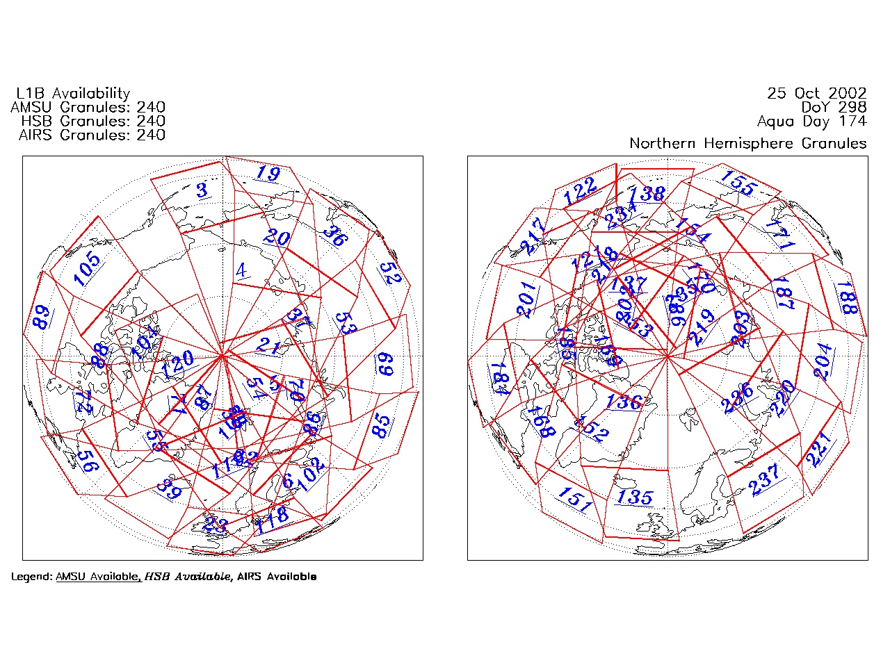
| AIRS.2002.10.25.GranuleMap.North.jpg | 2012-06-06T17:45:53GMT | 544784 |
|
||||||
| AIRS.2002.10.25.GranuleMap.South.jpg | 2012-06-06T17:45:53GMT | 492010 |
|
||||||
| AIRS.2002.10.25.GranuleMap.pdf | 2012-06-06T17:45:52GMT | 335400 |
|
||||||
| AIRS.2002.10.25.GranuleMap.xml | 2012-06-06T17:45:53GMT | 2535 |
|
|
THREDDS Catalog XML
|