| Name | Last Modified | Size | DAP Response Links | Dataset Viewers | |||||
|---|---|---|---|---|---|---|---|---|---|
| AIRS.2002.10.17.GranuleMap.Ascending.jpg | 2012-06-06T17:45:42GMT | 621613 |
|
||||||
| AIRS.2002.10.17.GranuleMap.Descending.jpg | 2012-06-06T17:45:42GMT | 612548 |
|
||||||
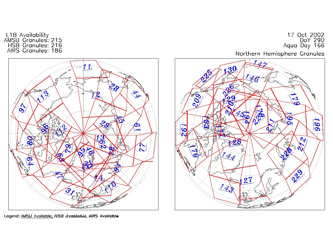
| AIRS.2002.10.17.GranuleMap.North.jpg | 2012-06-06T17:45:42GMT | 510651 |
|
||||||
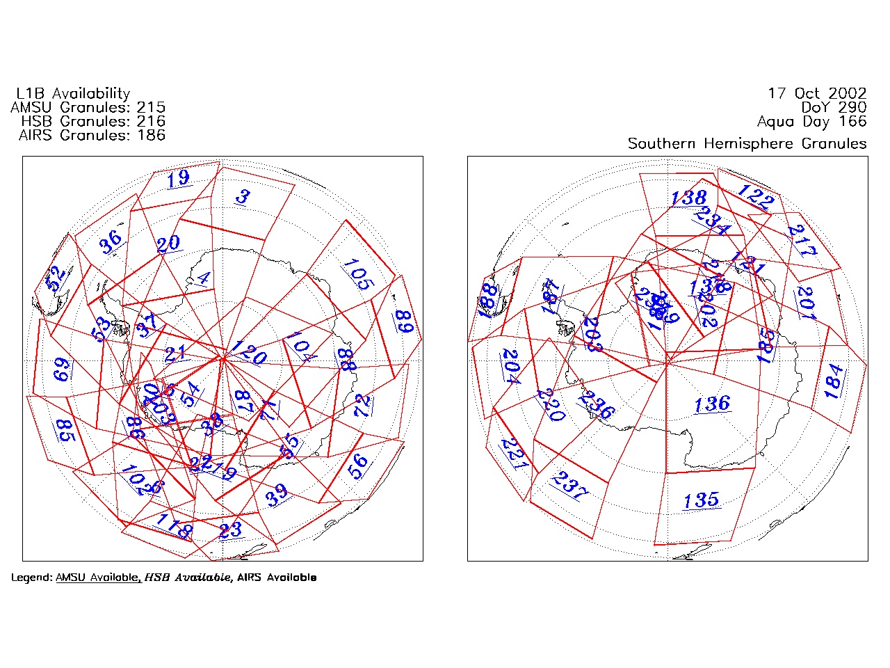
| AIRS.2002.10.17.GranuleMap.South.jpg | 2012-06-06T17:45:42GMT | 474620 |
|
||||||
| AIRS.2002.10.17.GranuleMap.pdf | 2012-06-06T17:45:42GMT | 332890 |
|
||||||
| AIRS.2002.10.17.GranuleMap.xml | 2012-06-06T17:45:42GMT | 2533 |
|
|
THREDDS Catalog XML
|