| Name | Last Modified | Size | DAP Response Links | Dataset Viewers | |||||
|---|---|---|---|---|---|---|---|---|---|
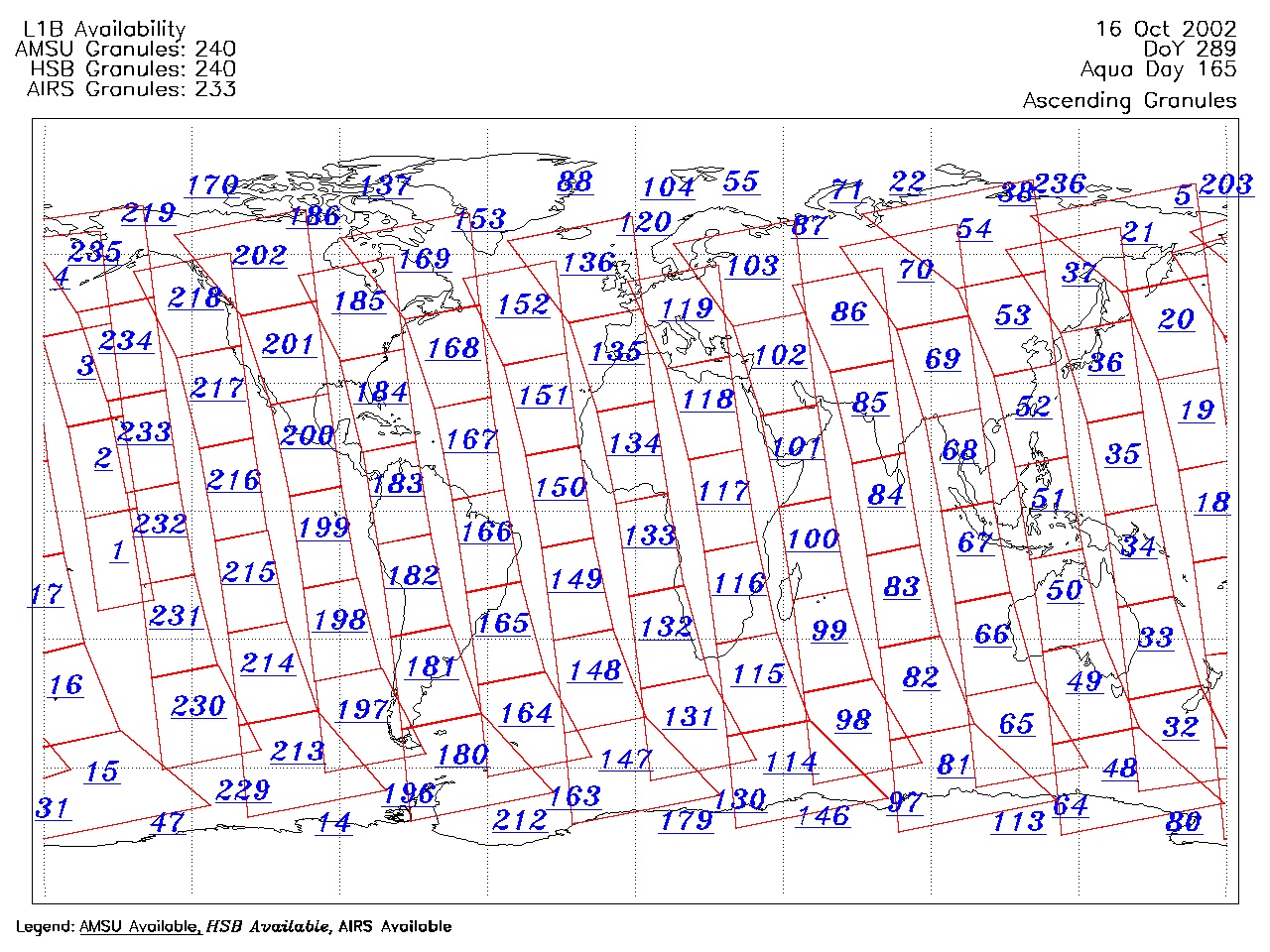
| AIRS.2002.10.16.GranuleMap.Ascending.jpg | 2012-06-06T17:45:37GMT | 656401 |
|
||||||
| AIRS.2002.10.16.GranuleMap.Descending.jpg | 2012-06-06T17:45:37GMT | 654065 |
|
||||||
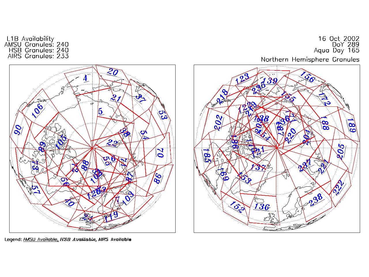
| AIRS.2002.10.16.GranuleMap.North.jpg | 2012-06-06T17:45:37GMT | 543729 |
|
||||||
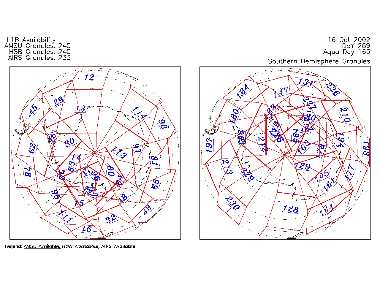
| AIRS.2002.10.16.GranuleMap.South.jpg | 2012-06-06T17:45:38GMT | 492598 |
|
||||||
| AIRS.2002.10.16.GranuleMap.pdf | 2012-06-06T17:45:37GMT | 336232 |
|
||||||
| AIRS.2002.10.16.GranuleMap.xml | 2012-06-06T17:45:38GMT | 2532 |
|
|
THREDDS Catalog XML
|