| Name | Last Modified | Size | DAP Response Links | Dataset Viewers | |||||
|---|---|---|---|---|---|---|---|---|---|
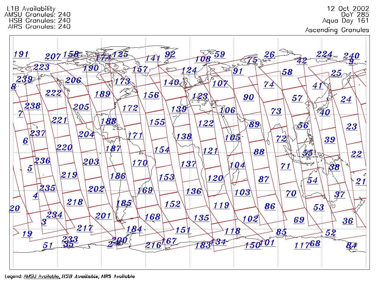
| AIRS.2002.10.12.GranuleMap.Ascending.jpg | 2012-06-06T17:45:32GMT | 668771 |
|
||||||
| AIRS.2002.10.12.GranuleMap.Descending.jpg | 2012-06-06T17:45:32GMT | 632187 |
|
||||||
| AIRS.2002.10.12.GranuleMap.North.jpg | 2012-06-06T17:45:32GMT | 530411 |
|
||||||
| AIRS.2002.10.12.GranuleMap.South.jpg | 2012-06-06T17:45:32GMT | 505340 |
|
||||||
| AIRS.2002.10.12.GranuleMap.pdf | 2012-06-06T17:45:31GMT | 335096 |
|
||||||
| AIRS.2002.10.12.GranuleMap.xml | 2012-06-06T17:45:32GMT | 2533 |
|
|
THREDDS Catalog XML
|