| Name | Last Modified | Size | DAP Response Links | Dataset Viewers | |||||
|---|---|---|---|---|---|---|---|---|---|
| AIRS.2002.10.06.GranuleMap.Ascending.jpg | 2012-06-06T17:45:21GMT | 639562 |
|
||||||
| AIRS.2002.10.06.GranuleMap.Descending.jpg | 2012-06-06T17:45:21GMT | 670366 |
|
||||||
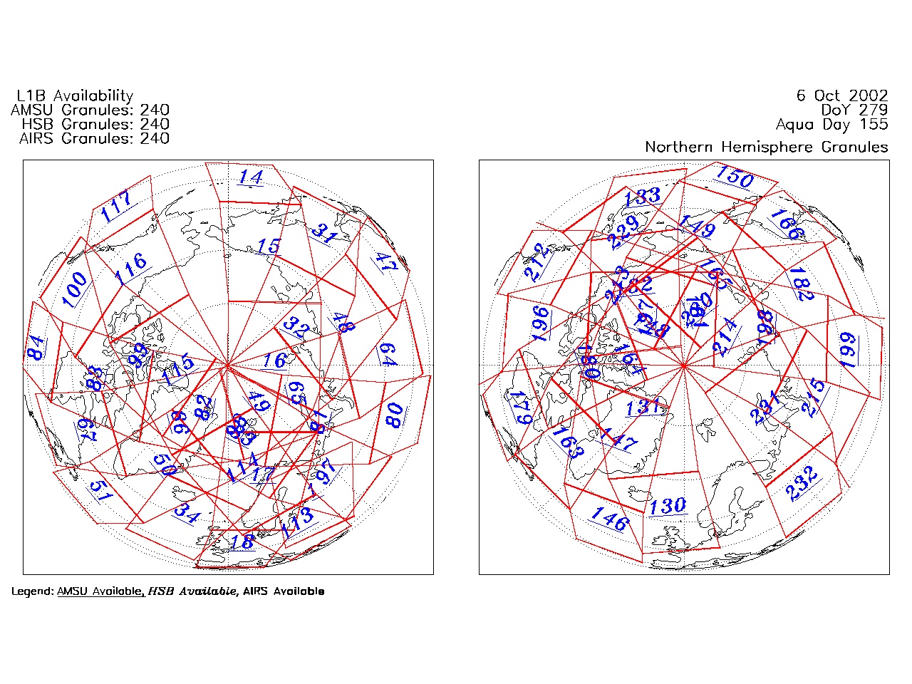
| AIRS.2002.10.06.GranuleMap.North.jpg | 2012-06-06T17:45:21GMT | 532977 |
|
||||||
| AIRS.2002.10.06.GranuleMap.South.jpg | 2012-06-06T17:45:22GMT | 508294 |
|
||||||
| AIRS.2002.10.06.GranuleMap.pdf | 2012-06-06T17:45:21GMT | 335614 |
|
||||||
| AIRS.2002.10.06.GranuleMap.xml | 2012-06-06T17:45:22GMT | 2533 |
|
|
THREDDS Catalog XML
|