| Name | Last Modified | Size | DAP Response Links | Dataset Viewers | |||||
|---|---|---|---|---|---|---|---|---|---|
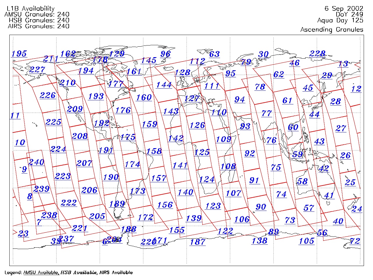
| AIRS.2002.09.06.GranuleMap.Ascending.jpg | 2012-06-06T17:44:30GMT | 650534 |
|
||||||
| AIRS.2002.09.06.GranuleMap.Descending.jpg | 2012-06-06T17:44:30GMT | 662706 |
|
||||||
| AIRS.2002.09.06.GranuleMap.North.jpg | 2012-06-06T17:44:30GMT | 524110 |
|
||||||
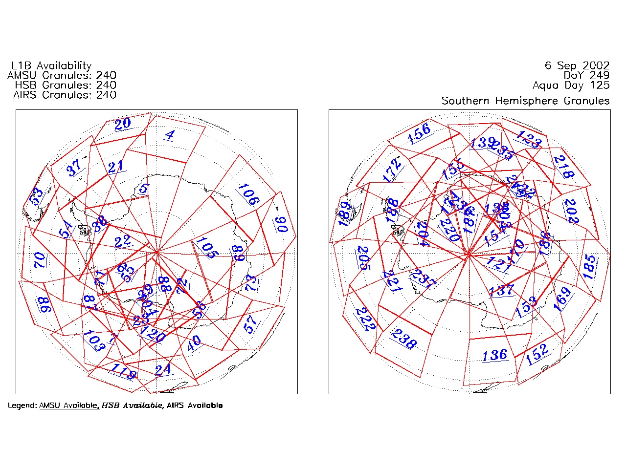
| AIRS.2002.09.06.GranuleMap.South.jpg | 2012-06-06T17:44:31GMT | 513355 |
|
||||||
| AIRS.2002.09.06.GranuleMap.pdf | 2012-06-06T17:44:30GMT | 335367 |
|
||||||
| AIRS.2002.09.06.GranuleMap.xml | 2012-06-06T17:44:31GMT | 2535 |
|
|
THREDDS Catalog XML
|