| Name | Last Modified | Size | DAP Response Links | Dataset Viewers | |||||
|---|---|---|---|---|---|---|---|---|---|
| AIRS.2002.08.31.GranuleMap.Ascending.jpg | 2012-06-06T17:44:20GMT | 647231 |
|
||||||
| AIRS.2002.08.31.GranuleMap.Descending.jpg | 2012-06-06T17:44:20GMT | 661633 |
|
||||||
| AIRS.2002.08.31.GranuleMap.North.jpg | 2012-06-06T17:44:20GMT | 544449 |
|
||||||
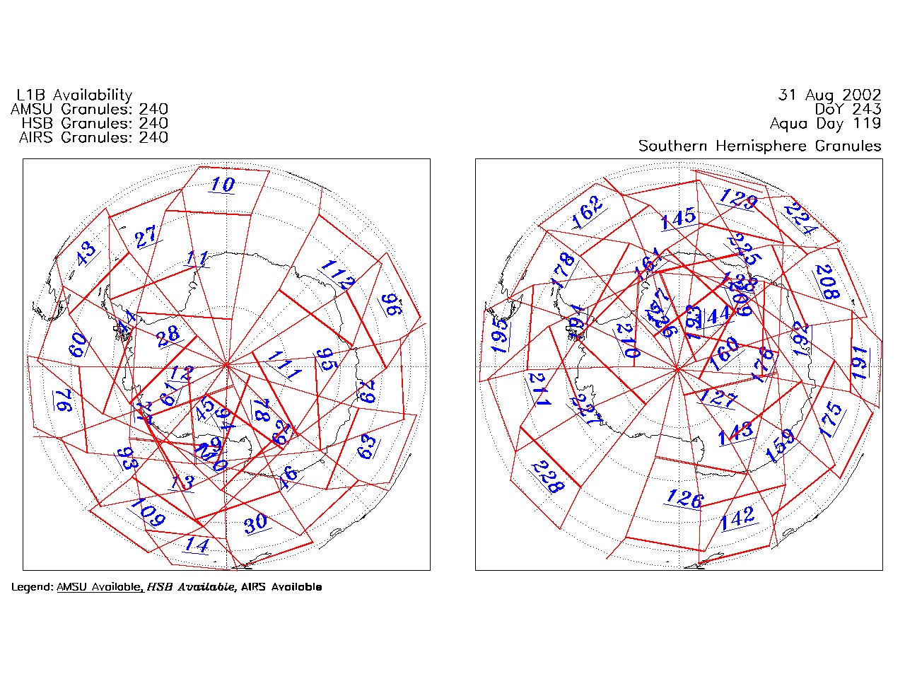
| AIRS.2002.08.31.GranuleMap.South.jpg | 2012-06-06T17:44:20GMT | 491873 |
|
||||||
| AIRS.2002.08.31.GranuleMap.pdf | 2012-06-06T17:44:20GMT | 335540 |
|
||||||
| AIRS.2002.08.31.GranuleMap.xml | 2012-06-06T17:44:21GMT | 2534 |
|
|
THREDDS Catalog XML
|