| Name | Last Modified | Size | DAP Response Links | Dataset Viewers | |||||
|---|---|---|---|---|---|---|---|---|---|
| AIRS.2002.08.21.GranuleMap.Ascending.jpg | 2012-06-06T17:44:00GMT | 646920 |
|
||||||
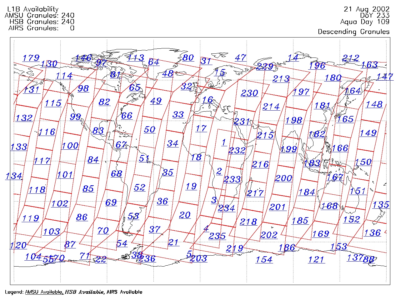
| AIRS.2002.08.21.GranuleMap.Descending.jpg | 2012-06-06T17:44:00GMT | 657334 |
|
||||||
| AIRS.2002.08.21.GranuleMap.North.jpg | 2012-06-06T17:44:00GMT | 522987 |
|
||||||
| AIRS.2002.08.21.GranuleMap.South.jpg | 2012-06-06T17:44:00GMT | 510404 |
|
||||||
| AIRS.2002.08.21.GranuleMap.pdf | 2012-06-06T17:44:00GMT | 334505 |
|
||||||
| AIRS.2002.08.21.GranuleMap.xml | 2012-06-06T17:44:00GMT | 2535 |
|
|
THREDDS Catalog XML
|