| Name | Last Modified | Size | DAP Response Links | Dataset Viewers | |||||
|---|---|---|---|---|---|---|---|---|---|
| AIRS.2002.08.14.GranuleMap.Ascending.jpg | 2012-06-06T17:43:50GMT | 647178 |
|
||||||
| AIRS.2002.08.14.GranuleMap.Descending.jpg | 2012-06-06T17:43:50GMT | 654661 |
|
||||||
| AIRS.2002.08.14.GranuleMap.North.jpg | 2012-06-06T17:43:50GMT | 525561 |
|
||||||
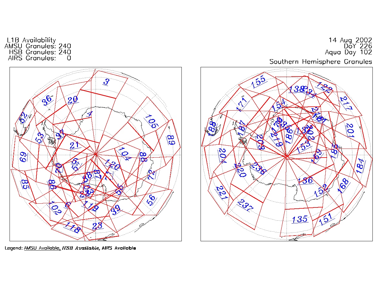
| AIRS.2002.08.14.GranuleMap.South.jpg | 2012-06-06T17:43:50GMT | 508634 |
|
||||||
| AIRS.2002.08.14.GranuleMap.pdf | 2012-06-06T17:43:49GMT | 334415 |
|
||||||
| AIRS.2002.08.14.GranuleMap.xml | 2012-06-06T17:43:50GMT | 2534 |
|
|
THREDDS Catalog XML
|