| Name | Last Modified | Size | DAP Response Links | Dataset Viewers | |||||
|---|---|---|---|---|---|---|---|---|---|
| AIRS.2002.08.07.GranuleMap.Ascending.jpg | 2012-06-06T17:43:40GMT | 648238 |
|
||||||
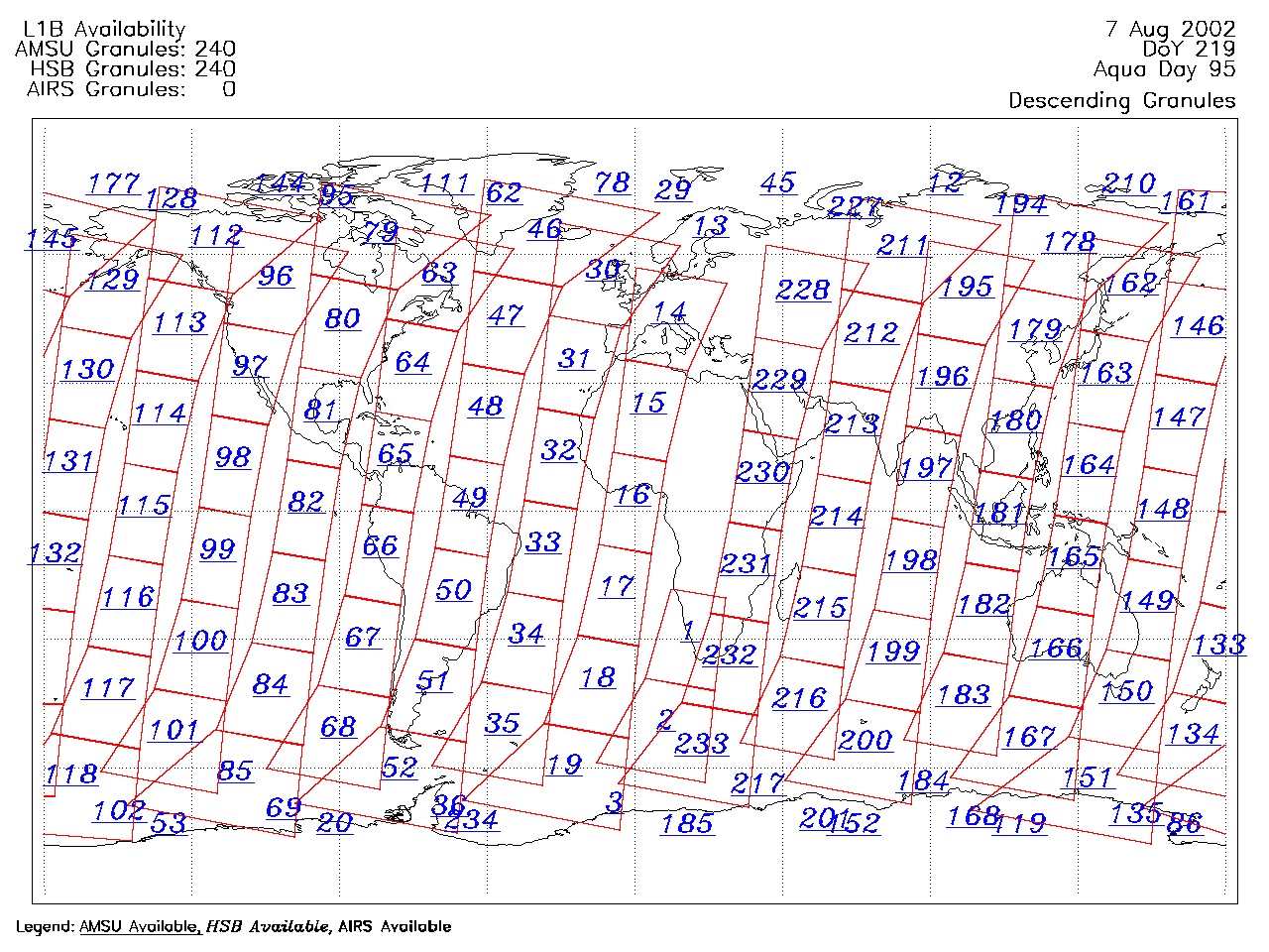
| AIRS.2002.08.07.GranuleMap.Descending.jpg | 2012-06-06T17:43:40GMT | 654909 |
|
||||||
| AIRS.2002.08.07.GranuleMap.North.jpg | 2012-06-06T17:43:40GMT | 526479 |
|
||||||
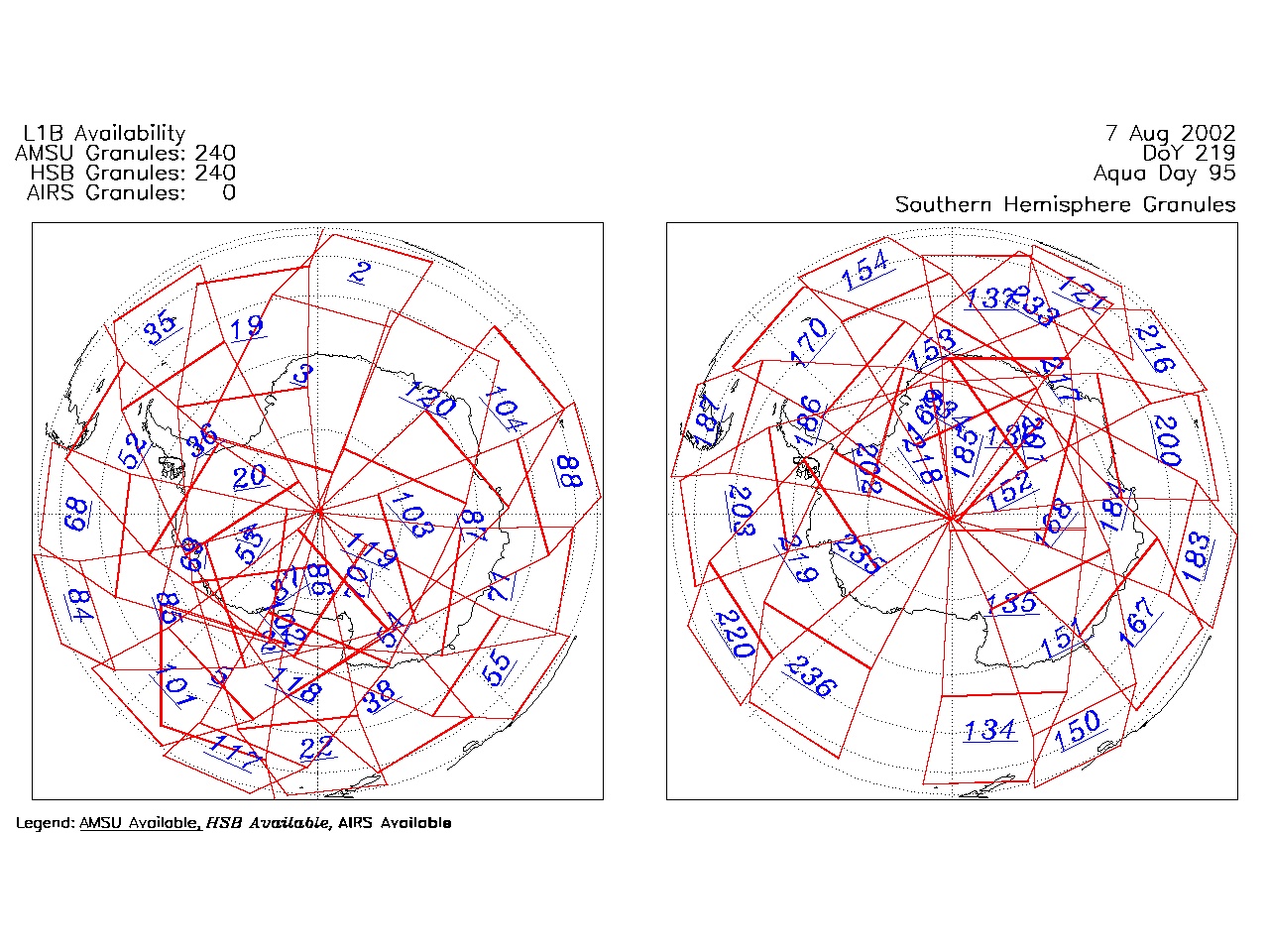
| AIRS.2002.08.07.GranuleMap.South.jpg | 2012-06-06T17:43:40GMT | 505093 |
|
||||||
| AIRS.2002.08.07.GranuleMap.pdf | 2012-06-06T17:43:39GMT | 334368 |
|
||||||
| AIRS.2002.08.07.GranuleMap.xml | 2012-06-06T17:43:40GMT | 2535 |
|
|
THREDDS Catalog XML
|