| Name | Last Modified | Size | DAP Response Links | Dataset Viewers | |||||
|---|---|---|---|---|---|---|---|---|---|
| AIRS.2002.07.22.GranuleMap.Ascending.jpg | 2012-06-06T17:43:09GMT | 646954 |
|
||||||
| AIRS.2002.07.22.GranuleMap.Descending.jpg | 2012-06-06T17:43:09GMT | 655483 |
|
||||||
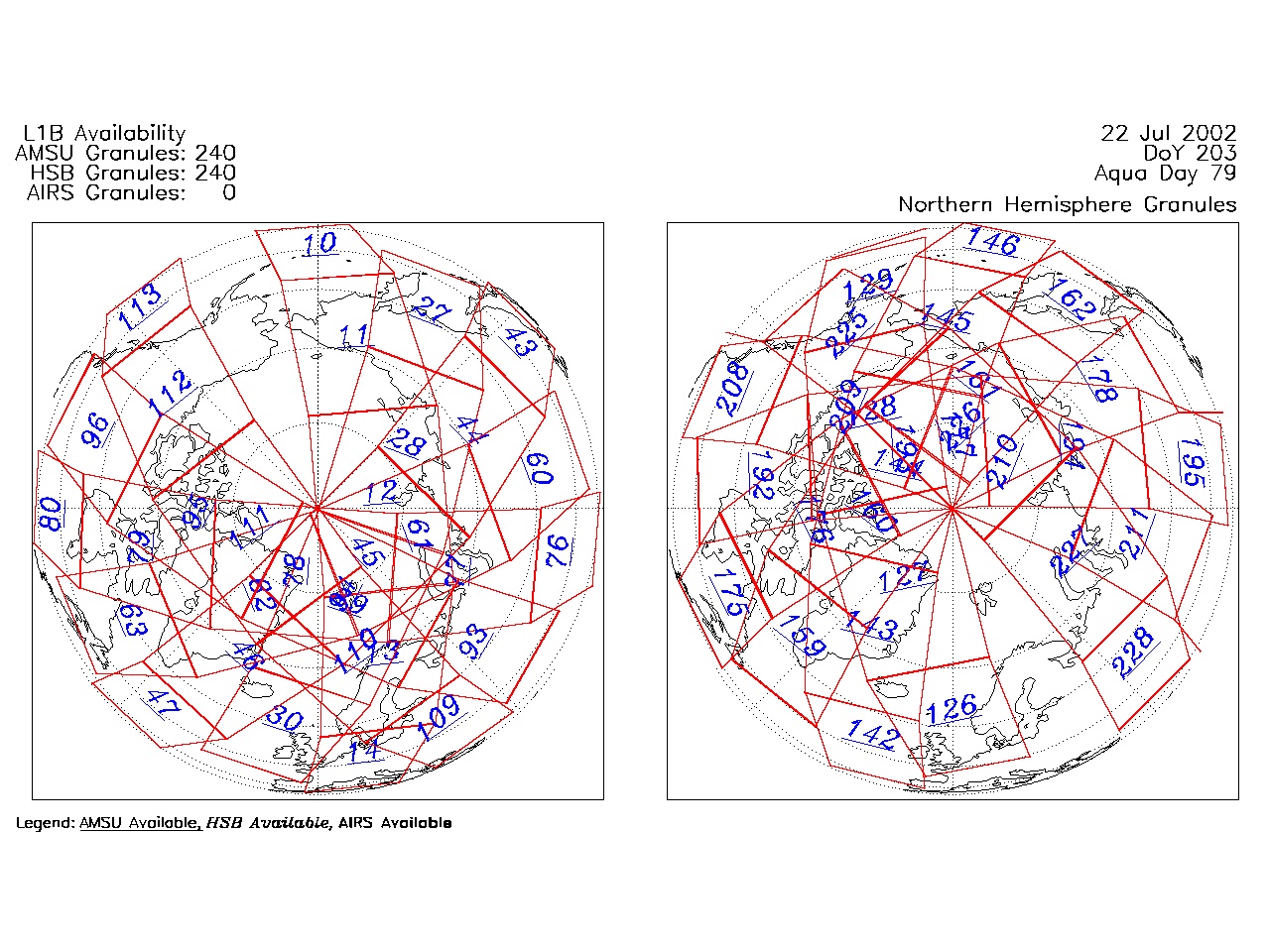
| AIRS.2002.07.22.GranuleMap.North.jpg | 2012-06-06T17:43:09GMT | 528836 |
|
||||||
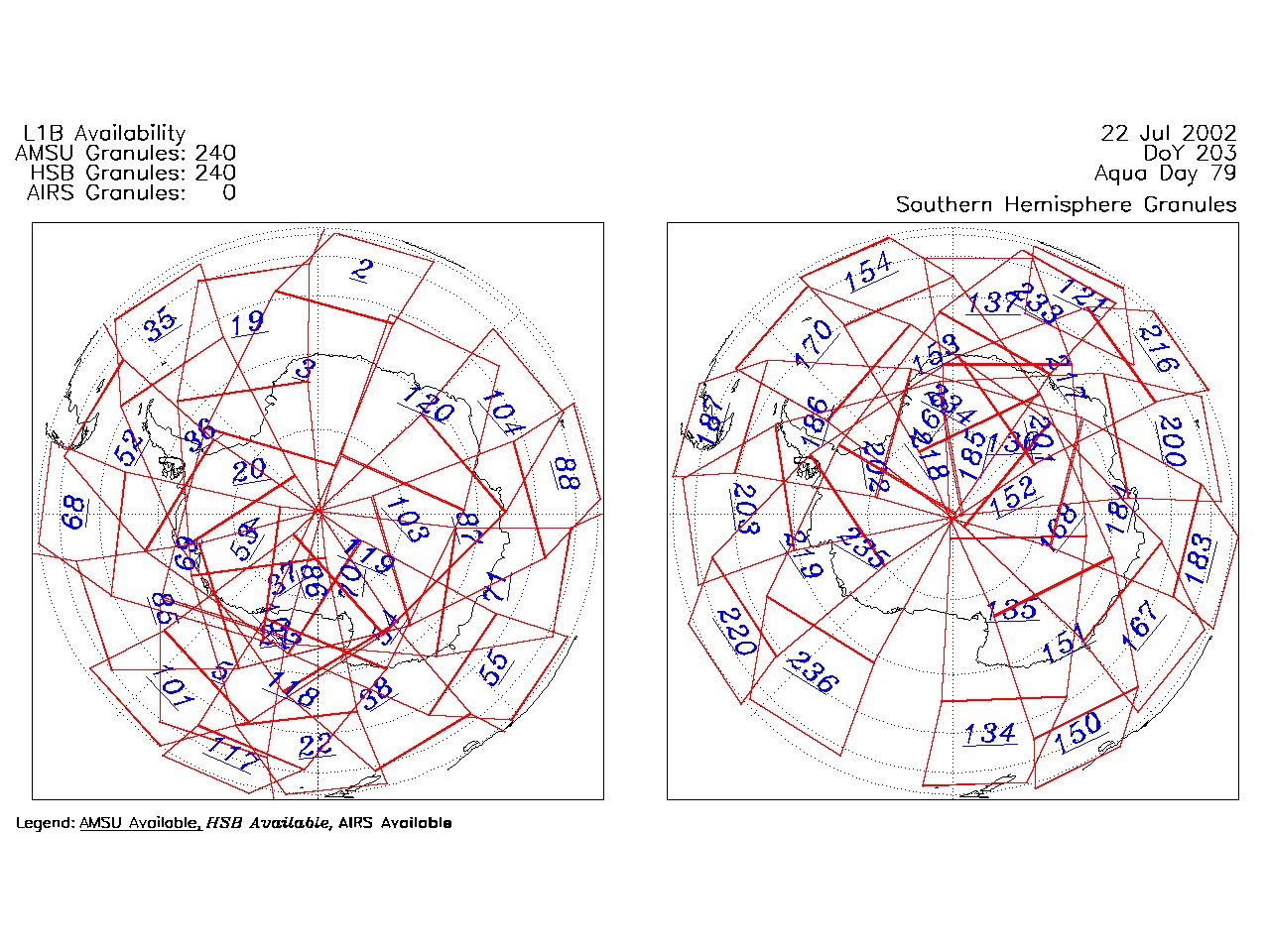
| AIRS.2002.07.22.GranuleMap.South.jpg | 2012-06-06T17:43:09GMT | 505530 |
|
||||||
| AIRS.2002.07.22.GranuleMap.pdf | 2012-06-06T17:43:09GMT | 334265 |
|
||||||
| AIRS.2002.07.22.GranuleMap.xml | 2012-06-06T17:43:09GMT | 2534 |
|
|
THREDDS Catalog XML
|