| Name | Last Modified | Size | DAP Response Links | Dataset Viewers | |||||
|---|---|---|---|---|---|---|---|---|---|
| AIRS.2002.07.09.GranuleMap.Ascending.jpg | 2012-06-06T17:42:48GMT | 642129 |
|
||||||
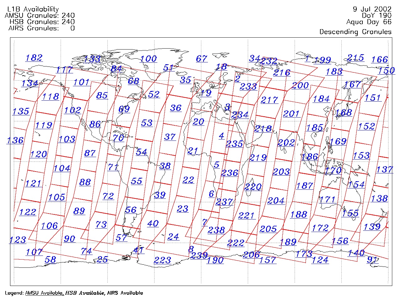
| AIRS.2002.07.09.GranuleMap.Descending.jpg | 2012-06-06T17:42:49GMT | 659458 |
|
||||||
| AIRS.2002.07.09.GranuleMap.North.jpg | 2012-06-06T17:42:49GMT | 536790 |
|
||||||
| AIRS.2002.07.09.GranuleMap.South.jpg | 2012-06-06T17:42:49GMT | 498254 |
|
||||||
| AIRS.2002.07.09.GranuleMap.pdf | 2012-06-06T17:42:48GMT | 334516 |
|
||||||
| AIRS.2002.07.09.GranuleMap.xml | 2012-06-06T17:42:49GMT | 2534 |
|
|
THREDDS Catalog XML
|