| Name | Last Modified | Size | DAP Response Links | Dataset Viewers | |||||
|---|---|---|---|---|---|---|---|---|---|
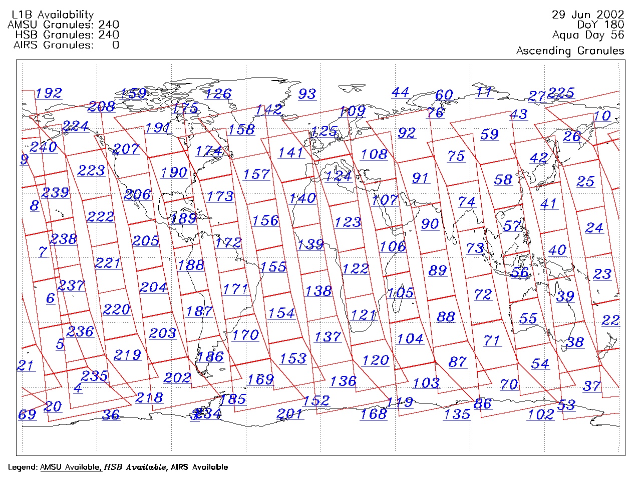
| AIRS.2002.06.29.GranuleMap.Ascending.jpg | 2012-06-06T17:42:33GMT | 655457 |
|
||||||
| AIRS.2002.06.29.GranuleMap.Descending.jpg | 2012-06-06T17:42:33GMT | 651016 |
|
||||||
| AIRS.2002.06.29.GranuleMap.North.jpg | 2012-06-06T17:42:33GMT | 532070 |
|
||||||
| AIRS.2002.06.29.GranuleMap.South.jpg | 2012-06-06T17:42:33GMT | 505262 |
|
||||||
| AIRS.2002.06.29.GranuleMap.pdf | 2012-06-06T17:42:33GMT | 334611 |
|
||||||
| AIRS.2002.06.29.GranuleMap.xml | 2012-06-06T17:42:33GMT | 2533 |
|
|
THREDDS Catalog XML
|