| Name | Last Modified | Size | DAP Response Links | Dataset Viewers | |||||
|---|---|---|---|---|---|---|---|---|---|
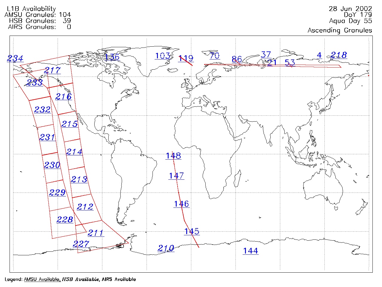
| AIRS.2002.06.28.GranuleMap.Ascending.jpg | 2012-06-06T17:42:28GMT | 353679 |
|
||||||
| AIRS.2002.06.28.GranuleMap.Descending.jpg | 2012-06-06T17:42:28GMT | 458580 |
|
||||||
| AIRS.2002.06.28.GranuleMap.North.jpg | 2012-06-06T17:42:28GMT | 396657 |
|
||||||
| AIRS.2002.06.28.GranuleMap.South.jpg | 2012-06-06T17:42:28GMT | 304979 |
|
||||||
| AIRS.2002.06.28.GranuleMap.pdf | 2012-06-06T17:42:28GMT | 313167 |
|
||||||
| AIRS.2002.06.28.GranuleMap.xml | 2012-06-06T17:42:28GMT | 2534 |
|
|
THREDDS Catalog XML
|