| Name | Last Modified | Size | DAP Response Links | Dataset Viewers | |||||
|---|---|---|---|---|---|---|---|---|---|
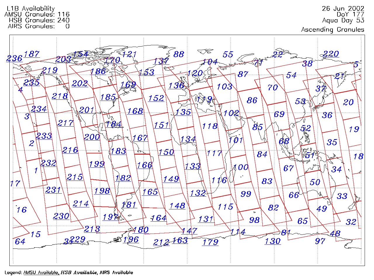
| AIRS.2002.06.26.GranuleMap.Ascending.jpg | 2012-06-06T17:42:28GMT | 634561 |
|
||||||
| AIRS.2002.06.26.GranuleMap.Descending.jpg | 2012-06-06T17:42:28GMT | 648642 |
|
||||||
| AIRS.2002.06.26.GranuleMap.North.jpg | 2012-06-06T17:42:28GMT | 529132 |
|
||||||
| AIRS.2002.06.26.GranuleMap.South.jpg | 2012-06-06T17:42:28GMT | 492606 |
|
||||||
| AIRS.2002.06.26.GranuleMap.pdf | 2012-06-06T17:42:28GMT | 329385 |
|
||||||
| AIRS.2002.06.26.GranuleMap.xml | 2012-06-06T17:42:28GMT | 2534 |
|
|
THREDDS Catalog XML
|