| Name | Last Modified | Size | DAP Response Links | Dataset Viewers | |||||
|---|---|---|---|---|---|---|---|---|---|
| AIRS.2002.06.18.GranuleMap.Ascending.jpg | 2012-06-06T17:42:13GMT | 655839 |
|
||||||
| AIRS.2002.06.18.GranuleMap.Descending.jpg | 2012-06-06T17:42:13GMT | 646574 |
|
||||||
| AIRS.2002.06.18.GranuleMap.North.jpg | 2012-06-06T17:42:13GMT | 527352 |
|
||||||
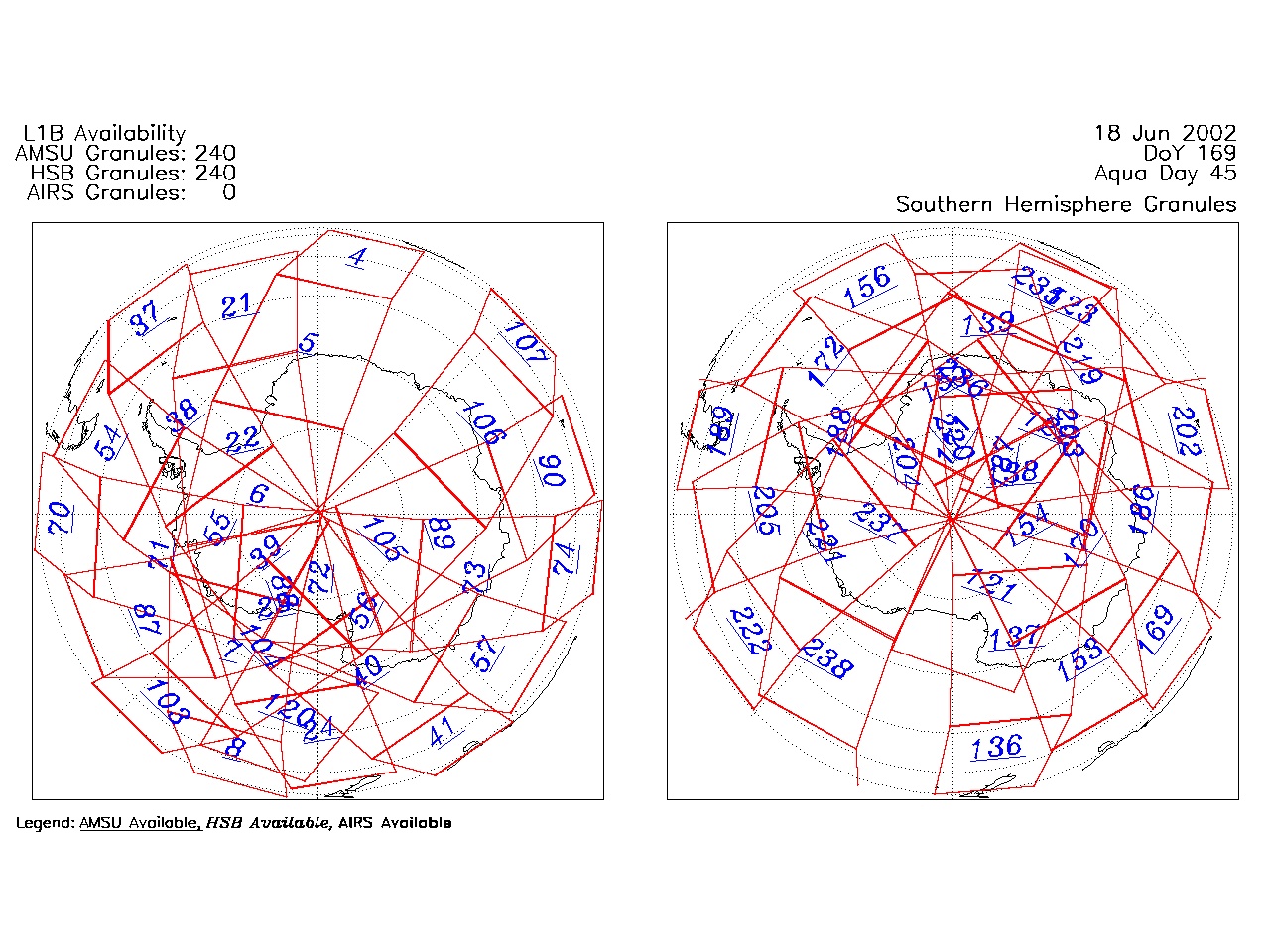
| AIRS.2002.06.18.GranuleMap.South.jpg | 2012-06-06T17:42:14GMT | 503067 |
|
||||||
| AIRS.2002.06.18.GranuleMap.pdf | 2012-06-06T17:42:13GMT | 334305 |
|
||||||
| AIRS.2002.06.18.GranuleMap.xml | 2012-06-06T17:42:14GMT | 2531 |
|
|
THREDDS Catalog XML
|