| Name | Last Modified | Size | DAP Response Links | Dataset Viewers | |||||
|---|---|---|---|---|---|---|---|---|---|
| AIRS.2002.06.13.GranuleMap.Ascending.jpg | 2012-06-06T17:42:03GMT | 600730 |
|
||||||
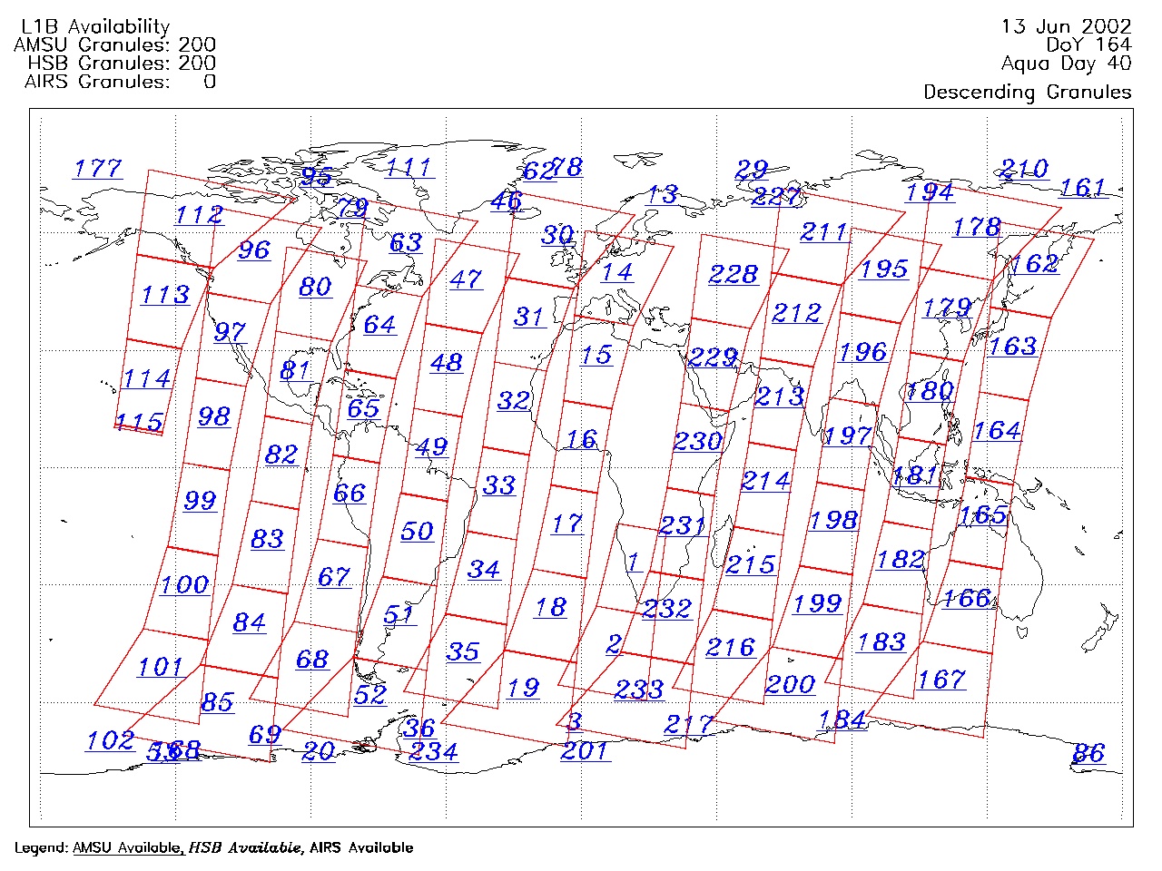
| AIRS.2002.06.13.GranuleMap.Descending.jpg | 2012-06-06T17:42:03GMT | 568714 |
|
||||||
| AIRS.2002.06.13.GranuleMap.North.jpg | 2012-06-06T17:42:03GMT | 503816 |
|
||||||
| AIRS.2002.06.13.GranuleMap.South.jpg | 2012-06-06T17:42:03GMT | 460766 |
|
||||||
| AIRS.2002.06.13.GranuleMap.pdf | 2012-06-06T17:42:03GMT | 327915 |
|
||||||
| AIRS.2002.06.13.GranuleMap.xml | 2012-06-06T17:42:03GMT | 2532 |
|
|
THREDDS Catalog XML
|