| Name | Last Modified | Size | DAP Response Links | Dataset Viewers | |||||
|---|---|---|---|---|---|---|---|---|---|
| AIRS.2002.05.21.GranuleMap.Ascending.jpg | 2012-06-06T17:41:27GMT | 326384 |
|
||||||
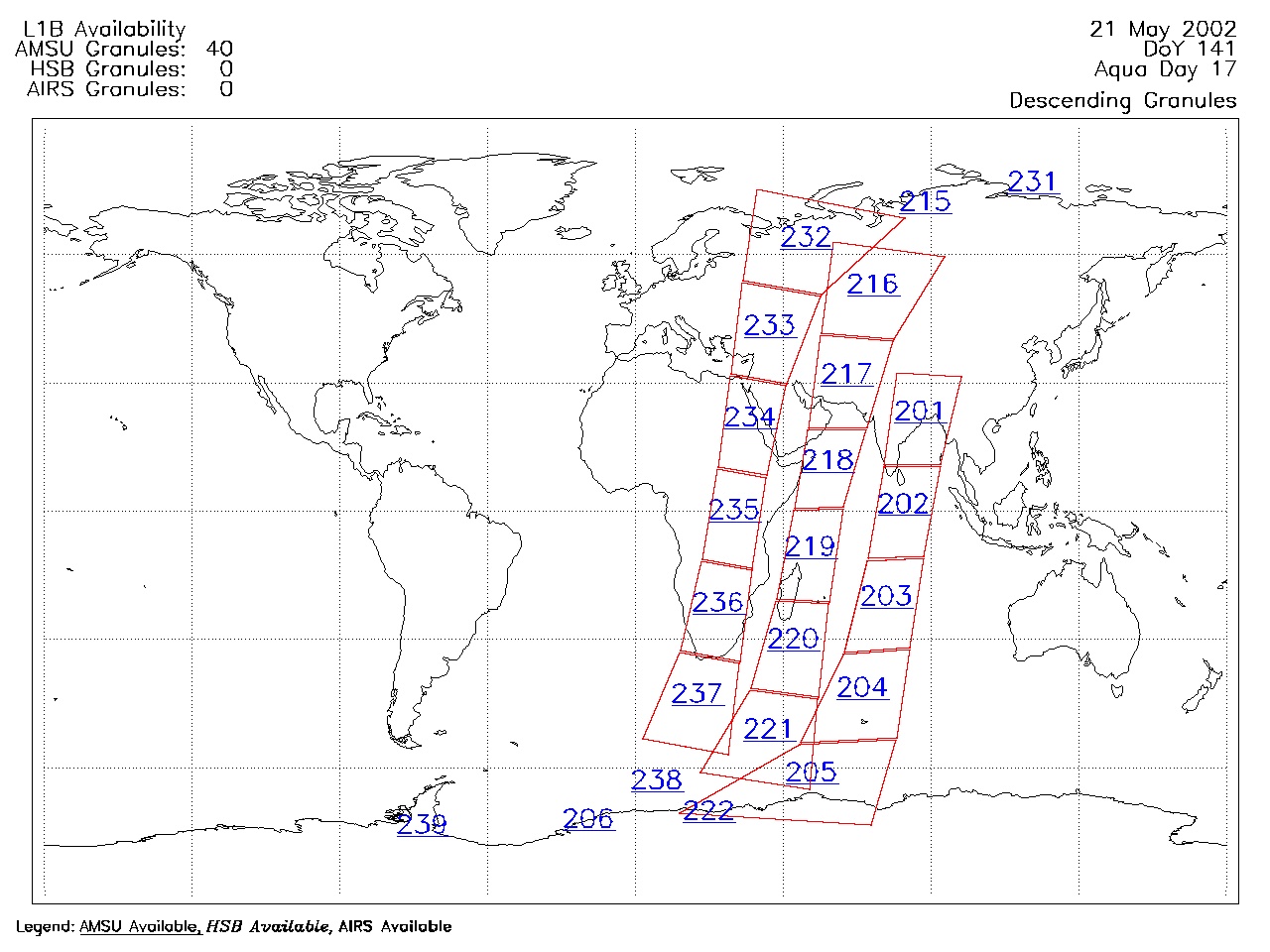
| AIRS.2002.05.21.GranuleMap.Descending.jpg | 2012-06-06T17:41:27GMT | 345199 |
|
||||||
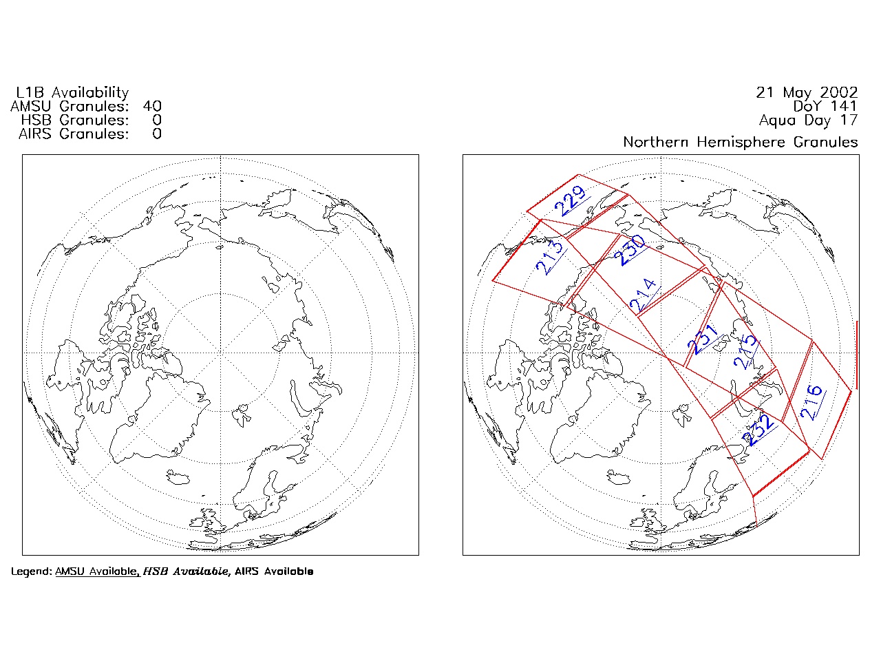
| AIRS.2002.05.21.GranuleMap.North.jpg | 2012-06-06T17:41:27GMT | 338812 |
|
||||||
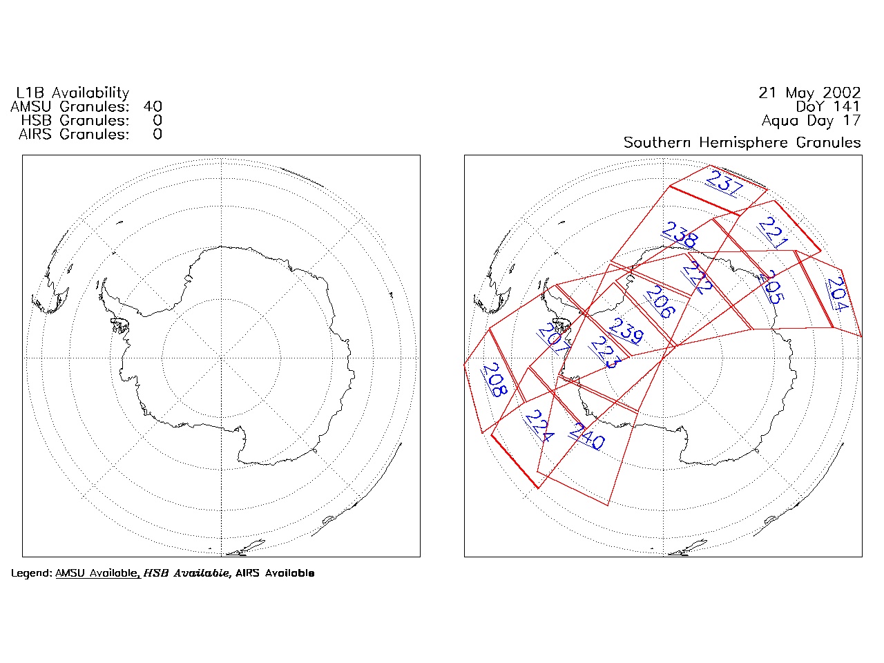
| AIRS.2002.05.21.GranuleMap.South.jpg | 2012-06-06T17:41:28GMT | 302157 |
|
||||||
| AIRS.2002.05.21.GranuleMap.pdf | 2012-06-06T17:41:27GMT | 300445 |
|
||||||
| AIRS.2002.05.21.GranuleMap.xml | 2012-06-06T17:41:28GMT | 2531 |
|
|
THREDDS Catalog XML
|