| Name | Last Modified | Size | DAP Response Links | Dataset Viewers | |||||
|---|---|---|---|---|---|---|---|---|---|
| AIRS.2013.07.17.GranuleMap.Ascending.jpg | 2013-07-18T02:00:25GMT | 642369 |
|
||||||
| AIRS.2013.07.17.GranuleMap.Descending.jpg | 2013-07-18T02:00:25GMT | 636687 |
|
||||||
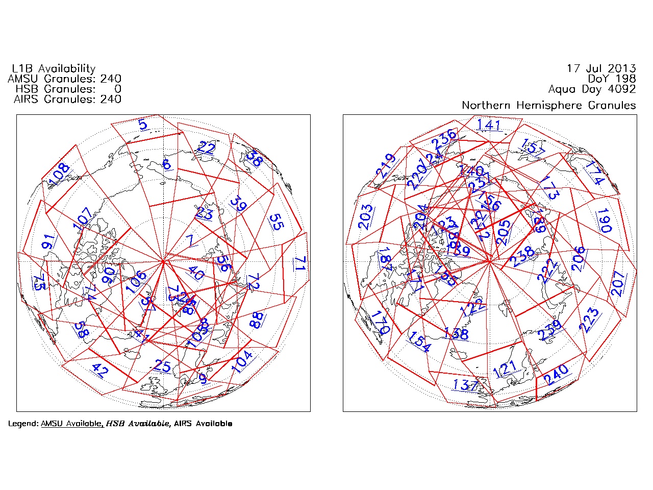
| AIRS.2013.07.17.GranuleMap.North.jpg | 2013-07-18T02:00:25GMT | 545339 |
|
||||||
| AIRS.2013.07.17.GranuleMap.South.jpg | 2013-07-18T02:00:25GMT | 486121 |
|
||||||
| AIRS.2013.07.17.GranuleMap.pdf | 2013-07-18T02:00:25GMT | 333477 |
|
||||||
| AIRS.2013.07.17.GranuleMap.xml | 2013-07-18T02:00:25GMT | 2545 |
|
|
THREDDS Catalog XML
|