| Name | Last Modified | Size | DAP Response Links | Dataset Viewers | |||||
|---|---|---|---|---|---|---|---|---|---|
| AIRS.2009.08.23.GranuleMap.Ascending.jpg | 2012-06-12T11:46:21GMT | 650379 |
|
||||||
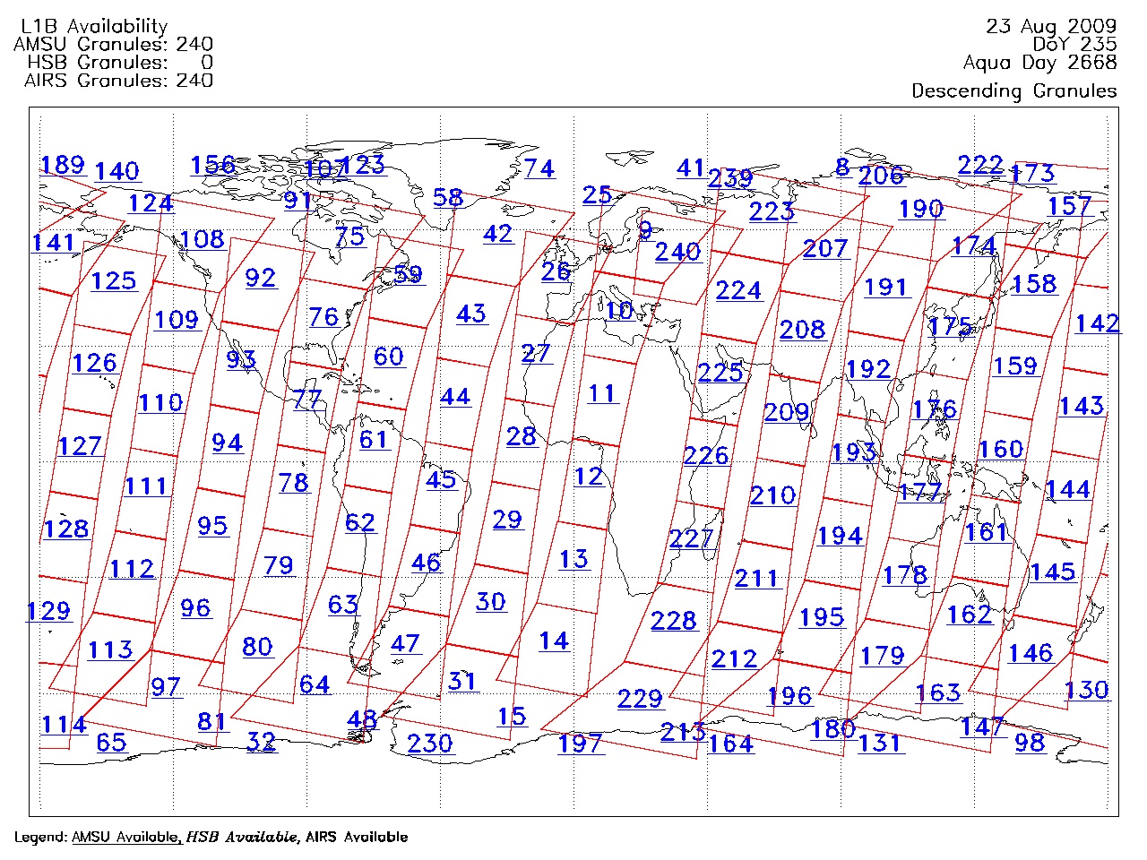
| AIRS.2009.08.23.GranuleMap.Descending.jpg | 2012-06-12T11:46:21GMT | 638136 |
|
||||||
| AIRS.2009.08.23.GranuleMap.North.jpg | 2012-06-12T11:46:21GMT | 541400 |
|
||||||
| AIRS.2009.08.23.GranuleMap.South.jpg | 2012-06-12T11:46:21GMT | 488682 |
|
||||||
| AIRS.2009.08.23.GranuleMap.pdf | 2012-06-12T11:46:21GMT | 333562 |
|
||||||
| AIRS.2009.08.23.GranuleMap.xml | 2012-06-12T11:46:21GMT | 2532 |
|
|
THREDDS Catalog XML
|