| Name | Last Modified | Size | DAP Response Links | Dataset Viewers | |||||
|---|---|---|---|---|---|---|---|---|---|
| AIRS.2009.08.16.GranuleMap.Ascending.jpg | 2012-06-12T11:46:11GMT | 642958 |
|
||||||
| AIRS.2009.08.16.GranuleMap.Descending.jpg | 2012-06-12T11:46:11GMT | 639077 |
|
||||||
| AIRS.2009.08.16.GranuleMap.North.jpg | 2012-06-12T11:46:11GMT | 541714 |
|
||||||
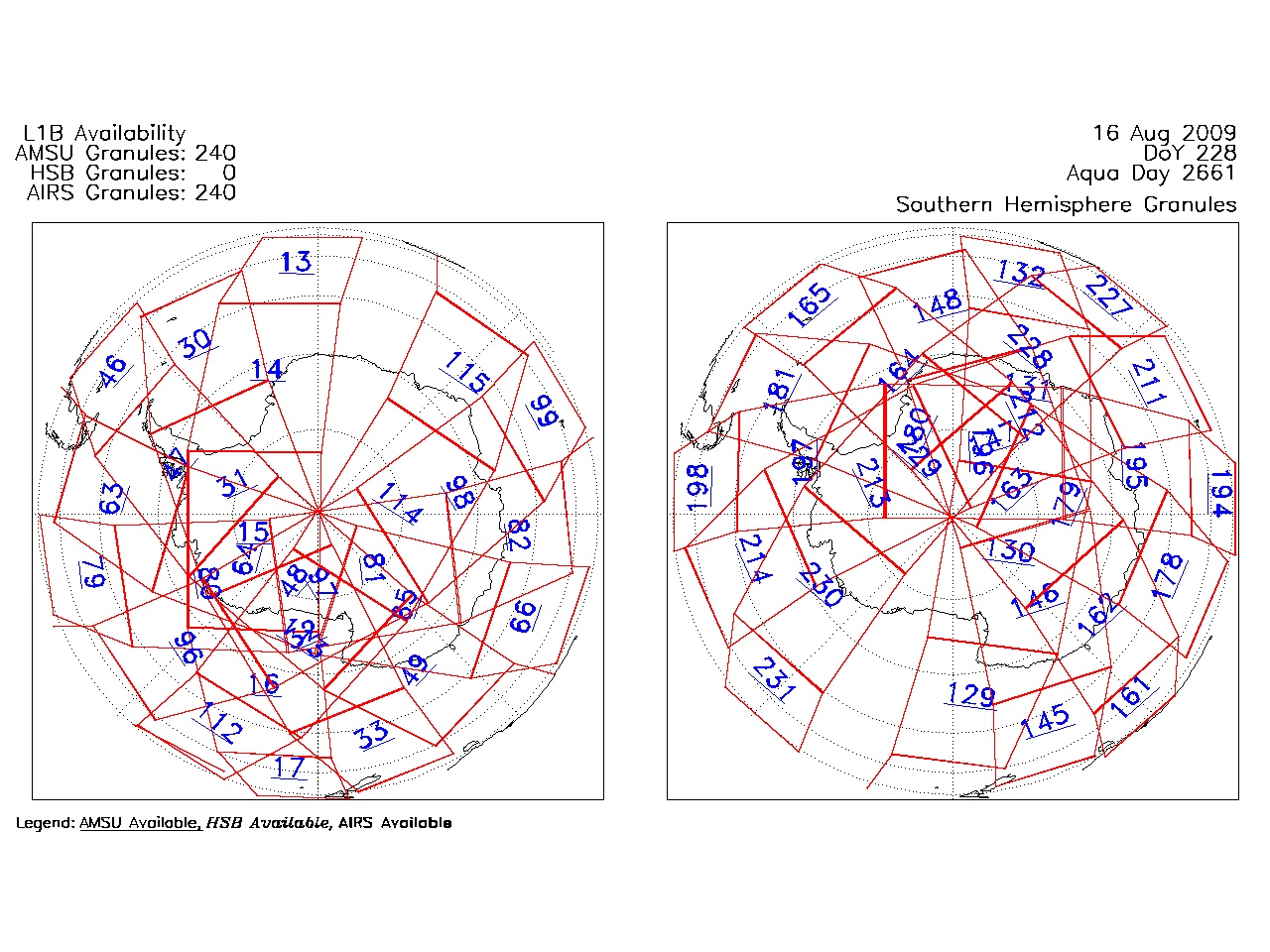
| AIRS.2009.08.16.GranuleMap.South.jpg | 2012-06-12T11:46:11GMT | 487606 |
|
||||||
| AIRS.2009.08.16.GranuleMap.pdf | 2012-06-12T11:46:11GMT | 333384 |
|
||||||
| AIRS.2009.08.16.GranuleMap.xml | 2012-06-12T11:46:11GMT | 2532 |
|
|
THREDDS Catalog XML
|