| Name | Last Modified | Size | DAP Response Links | Dataset Viewers | |||||
|---|---|---|---|---|---|---|---|---|---|
| AIRS.2009.04.16.GranuleMap.Ascending.jpg | 2012-06-07T12:37:51GMT | 634575 |
|
||||||
| AIRS.2009.04.16.GranuleMap.Descending.jpg | 2012-06-07T12:37:51GMT | 648720 |
|
||||||
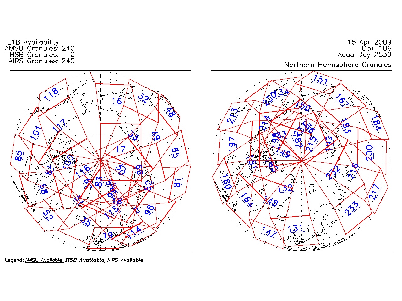
| AIRS.2009.04.16.GranuleMap.North.jpg | 2012-06-07T12:37:51GMT | 534849 |
|
||||||
| AIRS.2009.04.16.GranuleMap.South.jpg | 2012-06-07T12:37:51GMT | 492524 |
|
||||||
| AIRS.2009.04.16.GranuleMap.pdf | 2012-06-07T12:37:51GMT | 333313 |
|
||||||
| AIRS.2009.04.16.GranuleMap.xml | 2012-06-07T12:37:52GMT | 2533 |
|
|
THREDDS Catalog XML
|