| Name | Last Modified | Size | DAP Response Links | Dataset Viewers | |||||
|---|---|---|---|---|---|---|---|---|---|
| AIRS.2009.03.14.GranuleMap.Ascending.jpg | 2012-06-07T12:36:56GMT | 640590 |
|
||||||
| AIRS.2009.03.14.GranuleMap.Descending.jpg | 2012-06-07T12:36:56GMT | 633304 |
|
||||||
| AIRS.2009.03.14.GranuleMap.North.jpg | 2012-06-07T12:36:56GMT | 526895 |
|
||||||
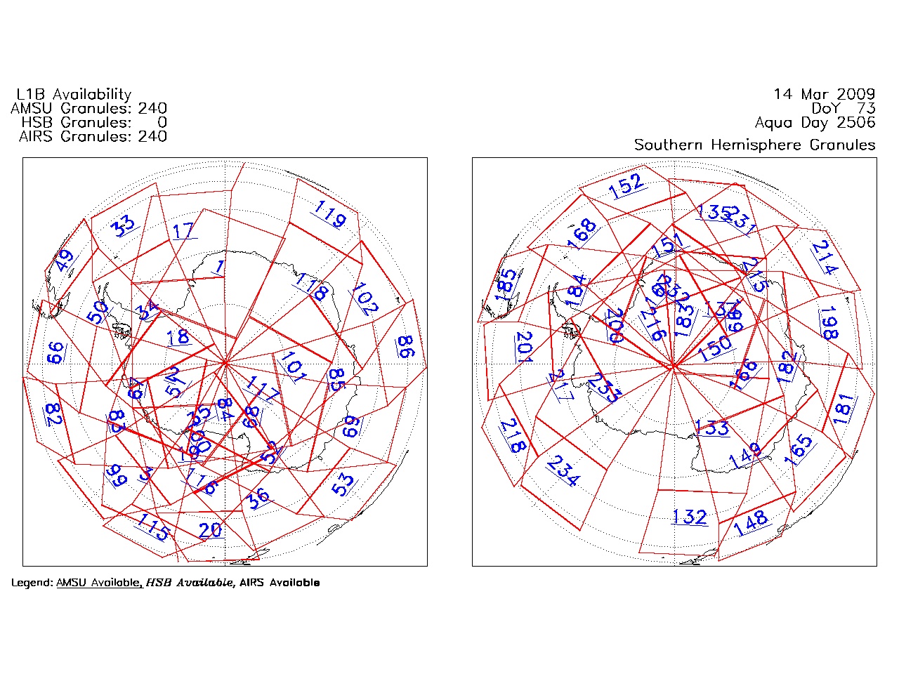
| AIRS.2009.03.14.GranuleMap.South.jpg | 2012-06-07T12:36:56GMT | 502087 |
|
||||||
| AIRS.2009.03.14.GranuleMap.pdf | 2012-06-07T12:36:56GMT | 333147 |
|
||||||
| AIRS.2009.03.14.GranuleMap.xml | 2012-06-07T12:36:56GMT | 2533 |
|
|
THREDDS Catalog XML
|