| Name | Last Modified | Size | DAP Response Links | Dataset Viewers | |||||
|---|---|---|---|---|---|---|---|---|---|
| AIRS.2004.10.30.GranuleMap.Ascending.jpg | 2012-06-06T18:07:22GMT | 642472 |
|
||||||
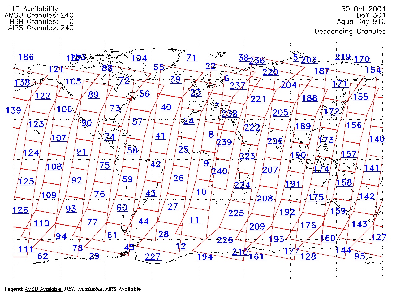
| AIRS.2004.10.30.GranuleMap.Descending.jpg | 2012-06-06T18:07:22GMT | 639353 |
|
||||||
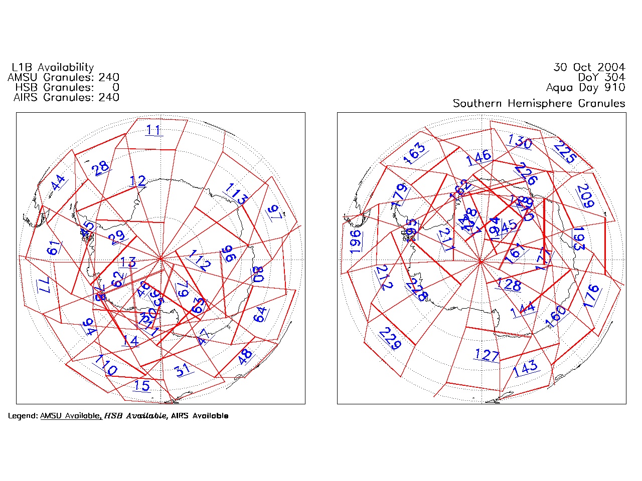
| AIRS.2004.10.30.GranuleMap.North.jpg | 2012-06-06T18:07:23GMT | 538916 |
|
||||||
| AIRS.2004.10.30.GranuleMap.South.jpg | 2012-06-06T18:07:23GMT | 484826 |
|
||||||
| AIRS.2004.10.30.GranuleMap.pdf | 2012-06-06T18:07:22GMT | 333343 |
|
||||||
| AIRS.2004.10.30.GranuleMap.xml | 2012-06-06T18:07:23GMT | 2535 |
|
|
THREDDS Catalog XML
|