| Name | Last Modified | Size | DAP Response Links | Dataset Viewers | |||||
|---|---|---|---|---|---|---|---|---|---|
| AIRS.2004.10.29.GranuleMap.Ascending.jpg | 2012-06-06T18:07:22GMT | 634771 |
|
||||||
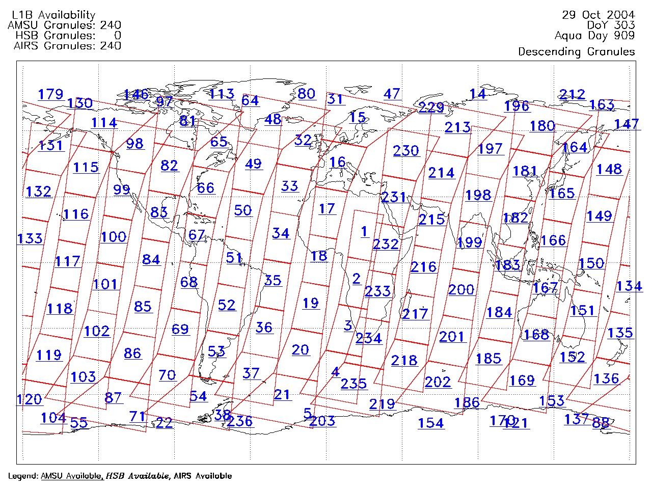
| AIRS.2004.10.29.GranuleMap.Descending.jpg | 2012-06-06T18:07:22GMT | 652839 |
|
||||||
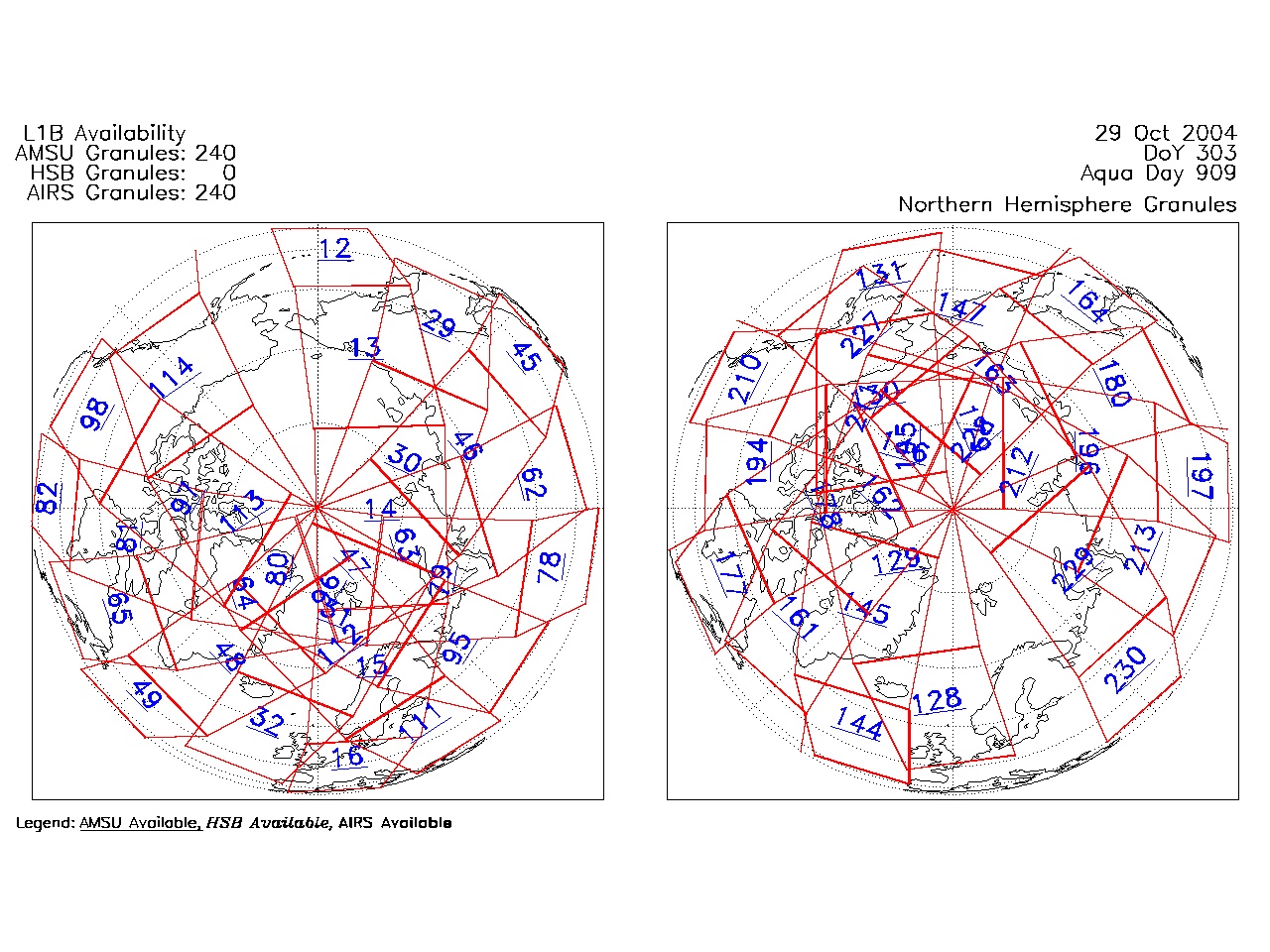
| AIRS.2004.10.29.GranuleMap.North.jpg | 2012-06-06T18:07:22GMT | 520324 |
|
||||||
| AIRS.2004.10.29.GranuleMap.South.jpg | 2012-06-06T18:07:23GMT | 506649 |
|
||||||
| AIRS.2004.10.29.GranuleMap.pdf | 2012-06-06T18:07:22GMT | 333150 |
|
||||||
| AIRS.2004.10.29.GranuleMap.xml | 2012-06-06T18:07:23GMT | 2530 |
|
|
THREDDS Catalog XML
|