| Name | Last Modified | Size | DAP Response Links | Dataset Viewers | |||||
|---|---|---|---|---|---|---|---|---|---|
| AIRS.2004.09.22.GranuleMap.Ascending.jpg | 2012-06-06T18:06:17GMT | 651451 |
|
||||||
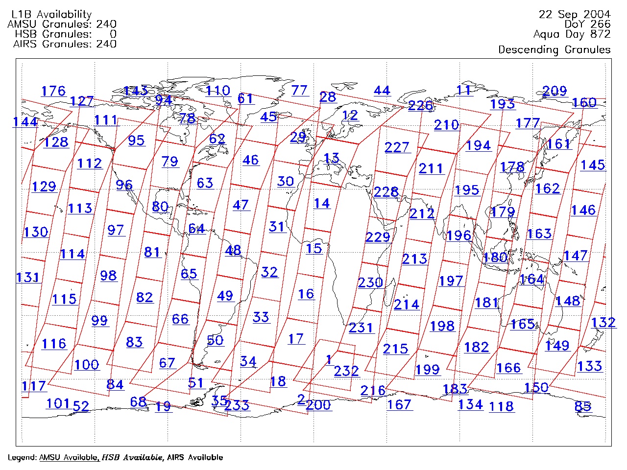
| AIRS.2004.09.22.GranuleMap.Descending.jpg | 2012-06-06T18:06:17GMT | 630887 |
|
||||||
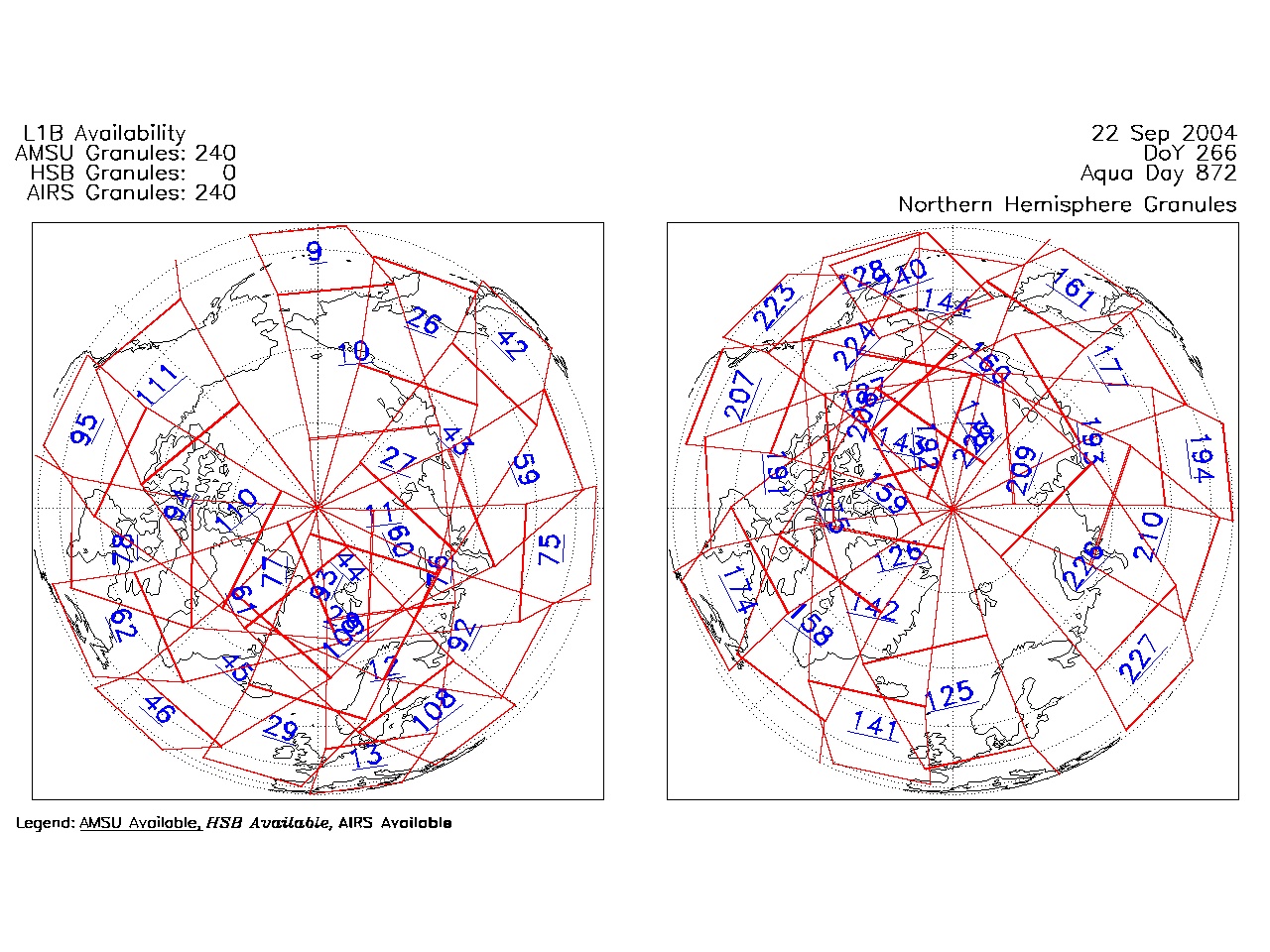
| AIRS.2004.09.22.GranuleMap.North.jpg | 2012-06-06T18:06:17GMT | 524667 |
|
||||||
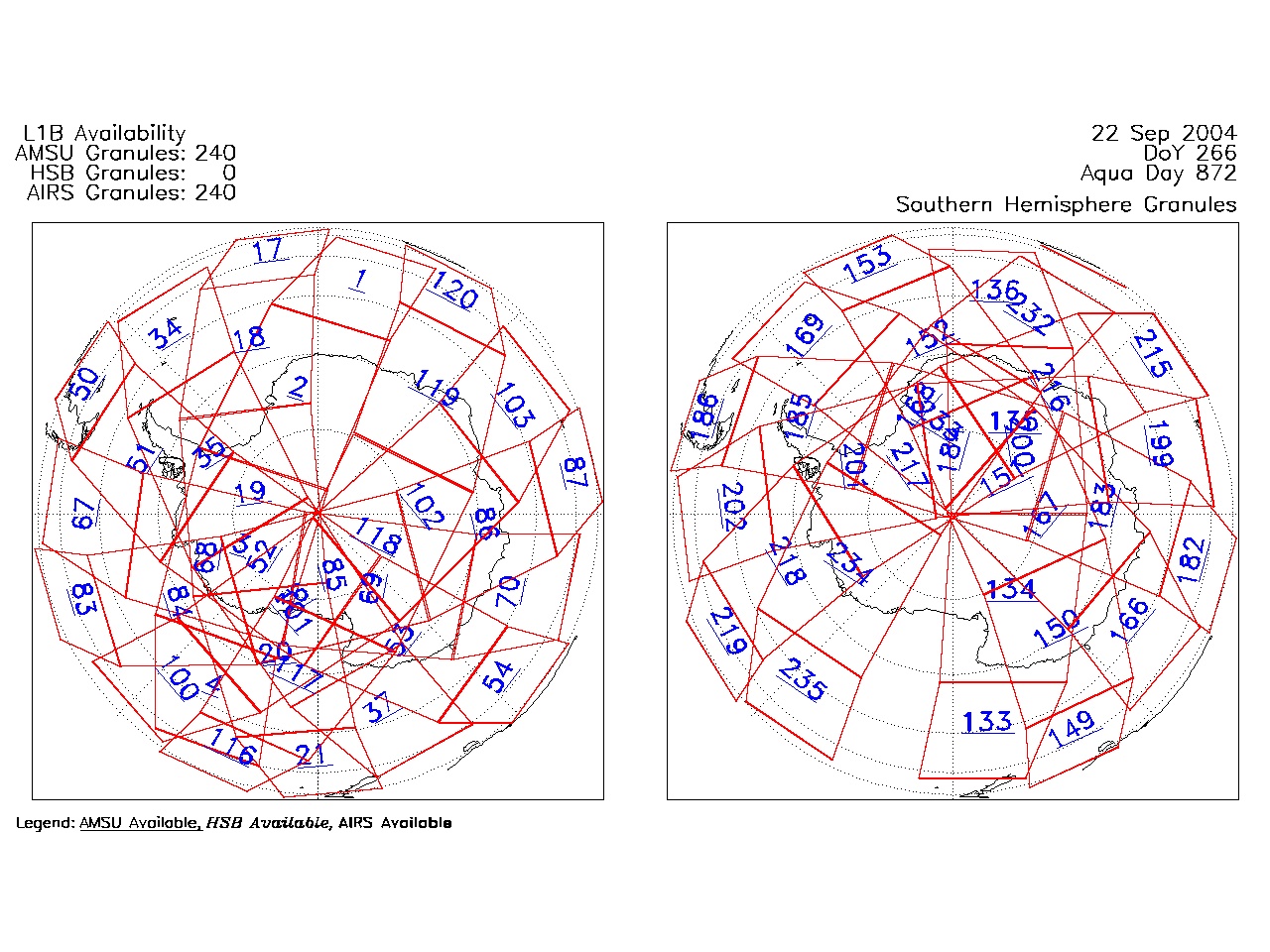
| AIRS.2004.09.22.GranuleMap.South.jpg | 2012-06-06T18:06:17GMT | 508345 |
|
||||||
| AIRS.2004.09.22.GranuleMap.pdf | 2012-06-06T18:06:16GMT | 333268 |
|
||||||
| AIRS.2004.09.22.GranuleMap.xml | 2012-06-06T18:06:17GMT | 2533 |
|
|
THREDDS Catalog XML
|