| Name | Last Modified | Size | DAP Response Links | Dataset Viewers | |||||
|---|---|---|---|---|---|---|---|---|---|
| AIRS.2004.08.20.GranuleMap.Ascending.jpg | 2012-06-06T18:05:21GMT | 640224 |
|
||||||
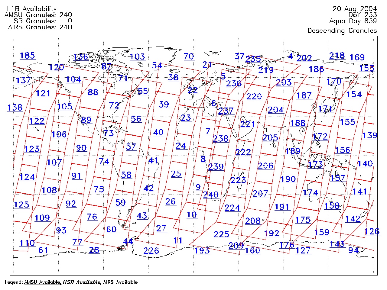
| AIRS.2004.08.20.GranuleMap.Descending.jpg | 2012-06-06T18:05:21GMT | 643153 |
|
||||||
| AIRS.2004.08.20.GranuleMap.North.jpg | 2012-06-06T18:05:21GMT | 539752 |
|
||||||
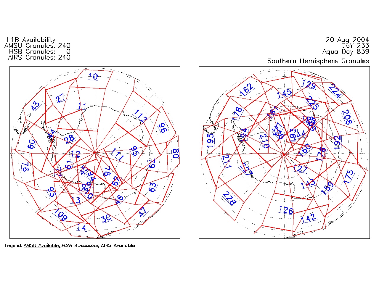
| AIRS.2004.08.20.GranuleMap.South.jpg | 2012-06-06T18:05:21GMT | 487633 |
|
||||||
| AIRS.2004.08.20.GranuleMap.pdf | 2012-06-06T18:05:21GMT | 333332 |
|
||||||
| AIRS.2004.08.20.GranuleMap.xml | 2012-06-06T18:05:21GMT | 2535 |
|
|
THREDDS Catalog XML
|