| Name | Last Modified | Size | DAP Response Links | Dataset Viewers | |||||
|---|---|---|---|---|---|---|---|---|---|
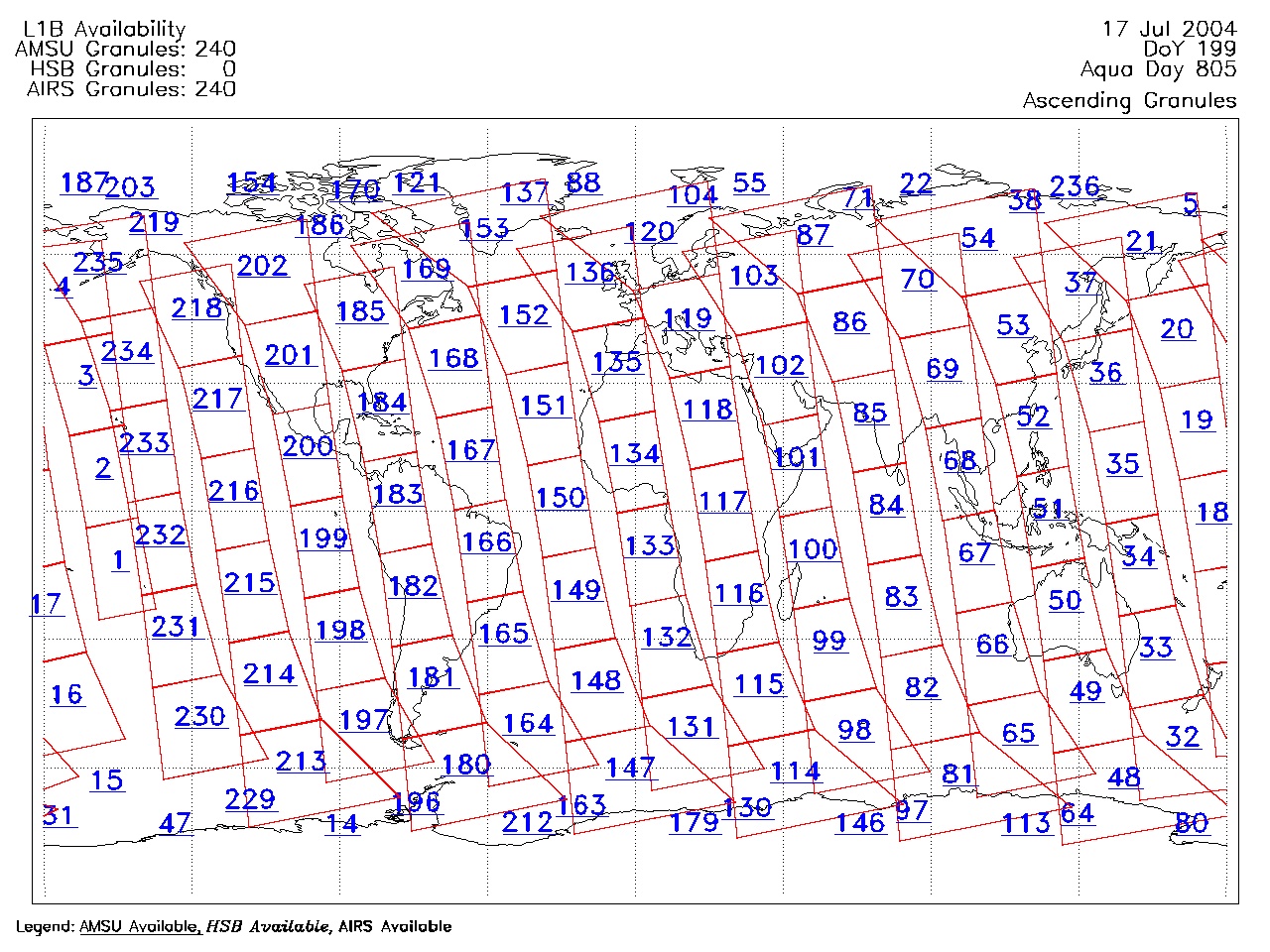
| AIRS.2004.07.17.GranuleMap.Ascending.jpg | 2012-06-06T18:04:25GMT | 649661 |
|
||||||
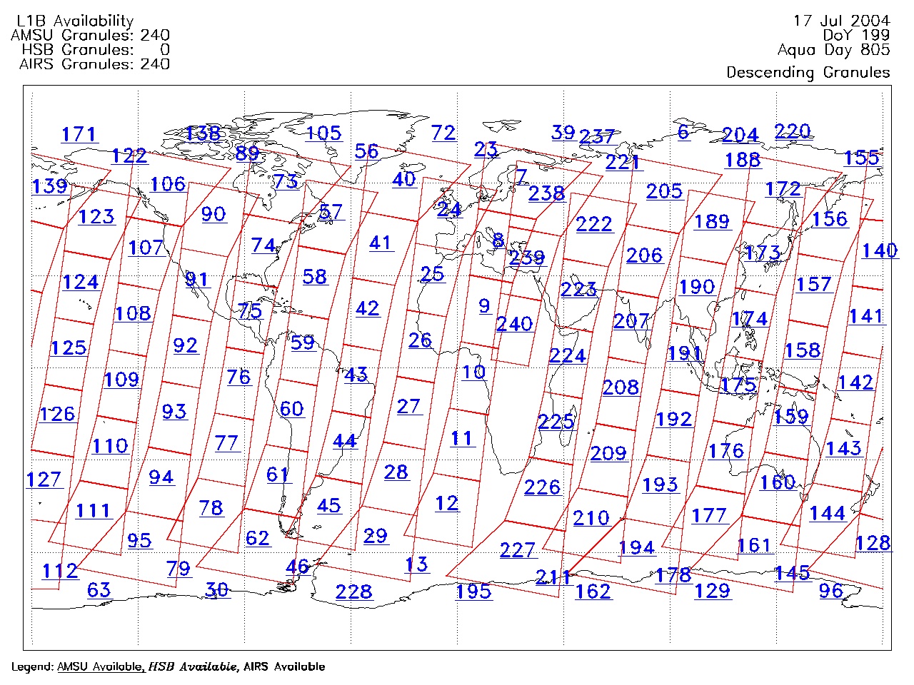
| AIRS.2004.07.17.GranuleMap.Descending.jpg | 2012-06-06T18:04:25GMT | 628167 |
|
||||||
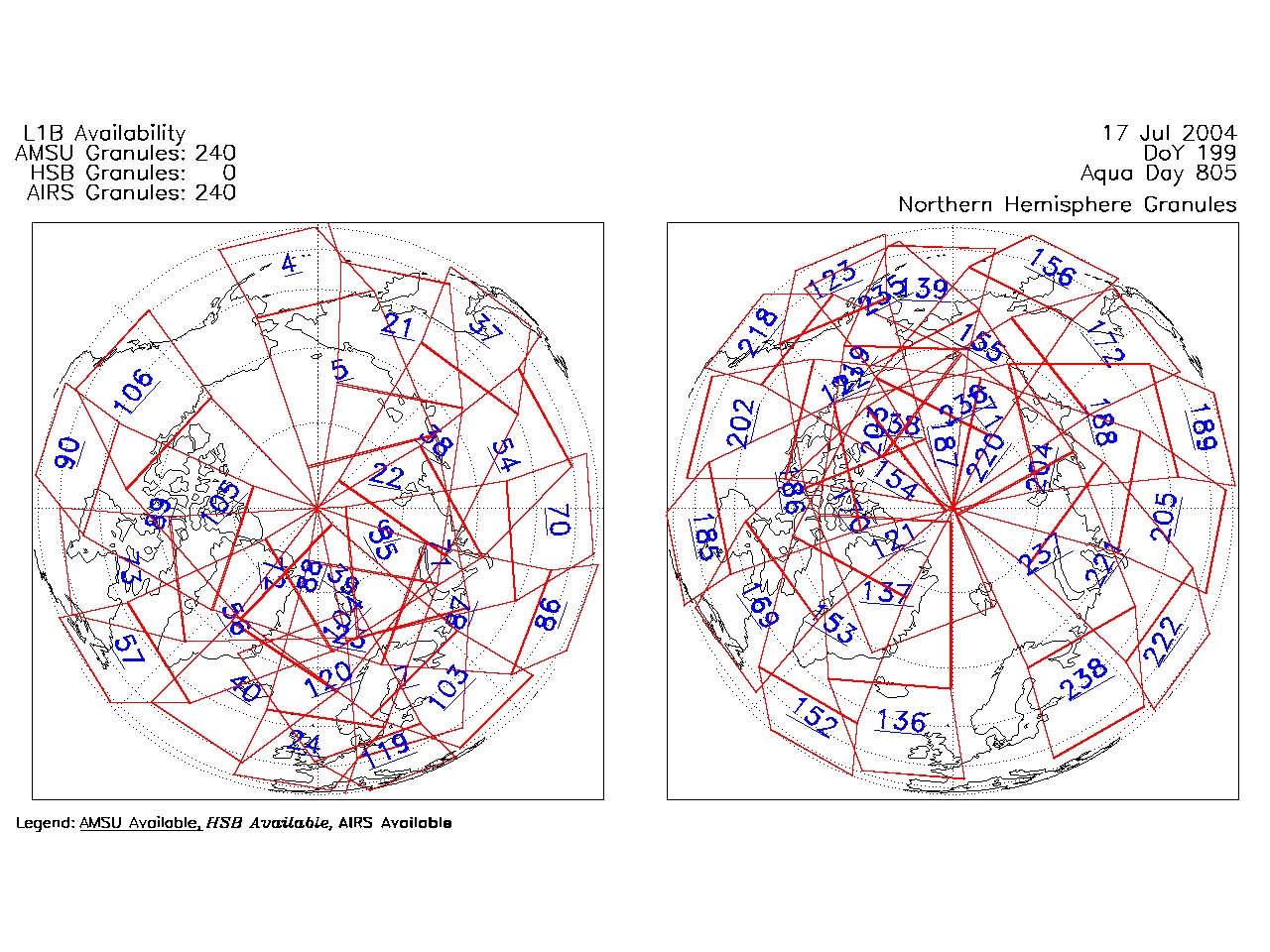
| AIRS.2004.07.17.GranuleMap.North.jpg | 2012-06-06T18:04:25GMT | 537935 |
|
||||||
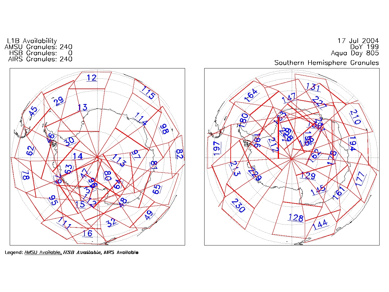
| AIRS.2004.07.17.GranuleMap.South.jpg | 2012-06-06T18:04:25GMT | 484356 |
|
||||||
| AIRS.2004.07.17.GranuleMap.pdf | 2012-06-06T18:04:25GMT | 333099 |
|
||||||
| AIRS.2004.07.17.GranuleMap.xml | 2012-06-06T18:04:25GMT | 2535 |
|
|
THREDDS Catalog XML
|