| Name | Last Modified | Size | DAP Response Links | Dataset Viewers | |||||
|---|---|---|---|---|---|---|---|---|---|
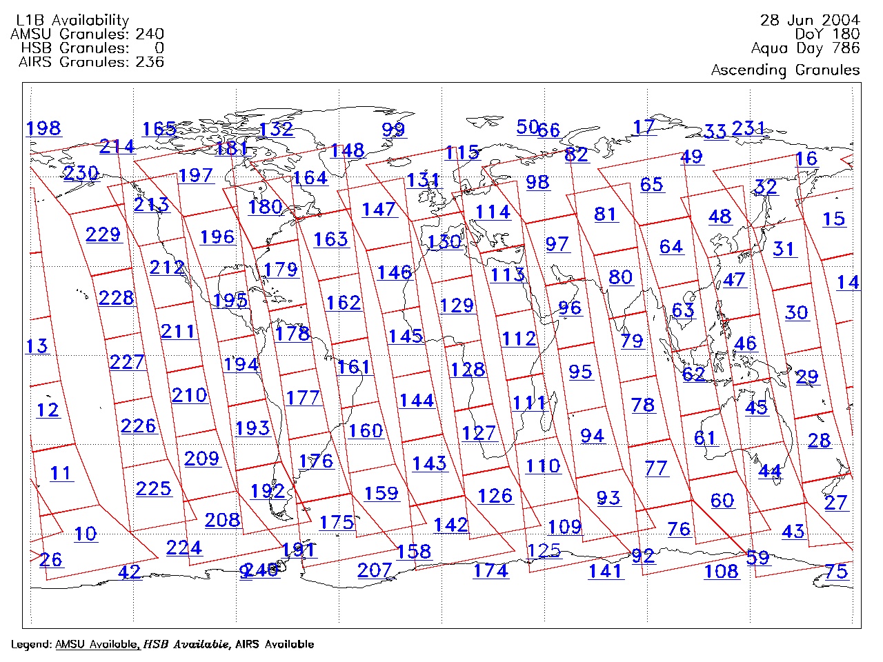
| AIRS.2004.06.28.GranuleMap.Ascending.jpg | 2012-06-06T18:03:54GMT | 621573 |
|
||||||
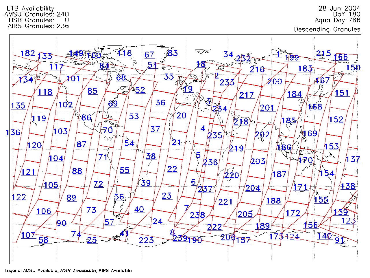
| AIRS.2004.06.28.GranuleMap.Descending.jpg | 2012-06-06T18:03:54GMT | 658528 |
|
||||||
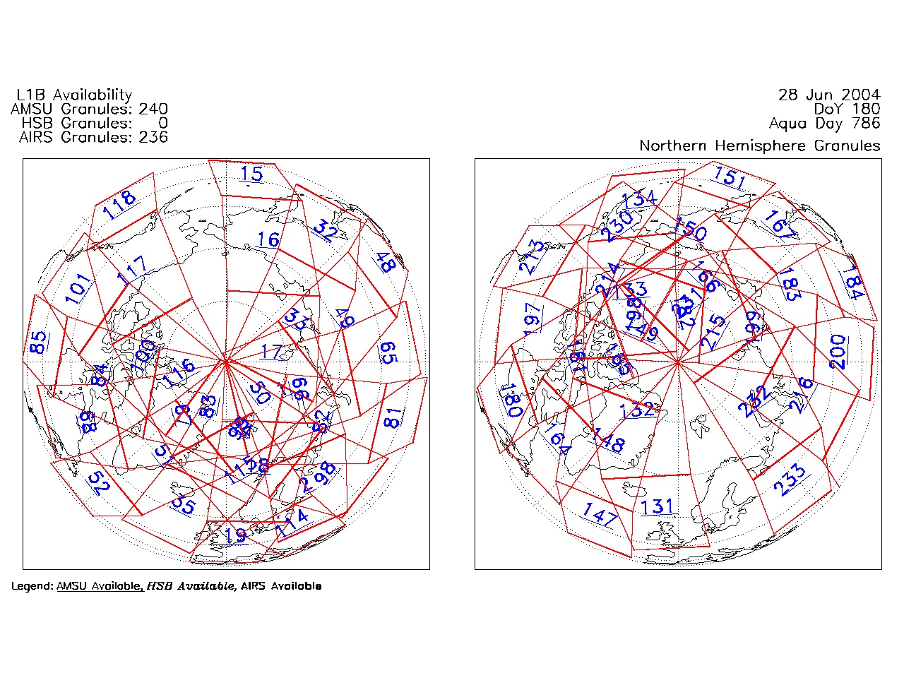
| AIRS.2004.06.28.GranuleMap.North.jpg | 2012-06-06T18:03:54GMT | 532684 |
|
||||||
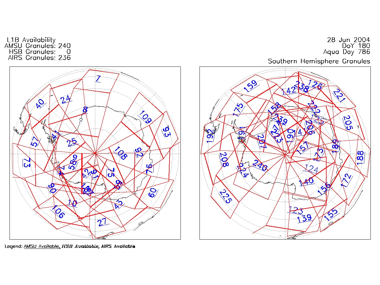
| AIRS.2004.06.28.GranuleMap.South.jpg | 2012-06-06T18:03:54GMT | 495439 |
|
||||||
| AIRS.2004.06.28.GranuleMap.pdf | 2012-06-06T18:03:54GMT | 333451 |
|
||||||
| AIRS.2004.06.28.GranuleMap.xml | 2012-06-06T18:03:55GMT | 2532 |
|
|
THREDDS Catalog XML
|