| Name | Last Modified | Size | DAP Response Links | Dataset Viewers | |||||
|---|---|---|---|---|---|---|---|---|---|
| AIRS.2004.06.22.GranuleMap.Ascending.jpg | 2012-06-06T18:03:44GMT | 649834 |
|
||||||
| AIRS.2004.06.22.GranuleMap.Descending.jpg | 2012-06-06T18:03:44GMT | 626997 |
|
||||||
| AIRS.2004.06.22.GranuleMap.North.jpg | 2012-06-06T18:03:44GMT | 539378 |
|
||||||
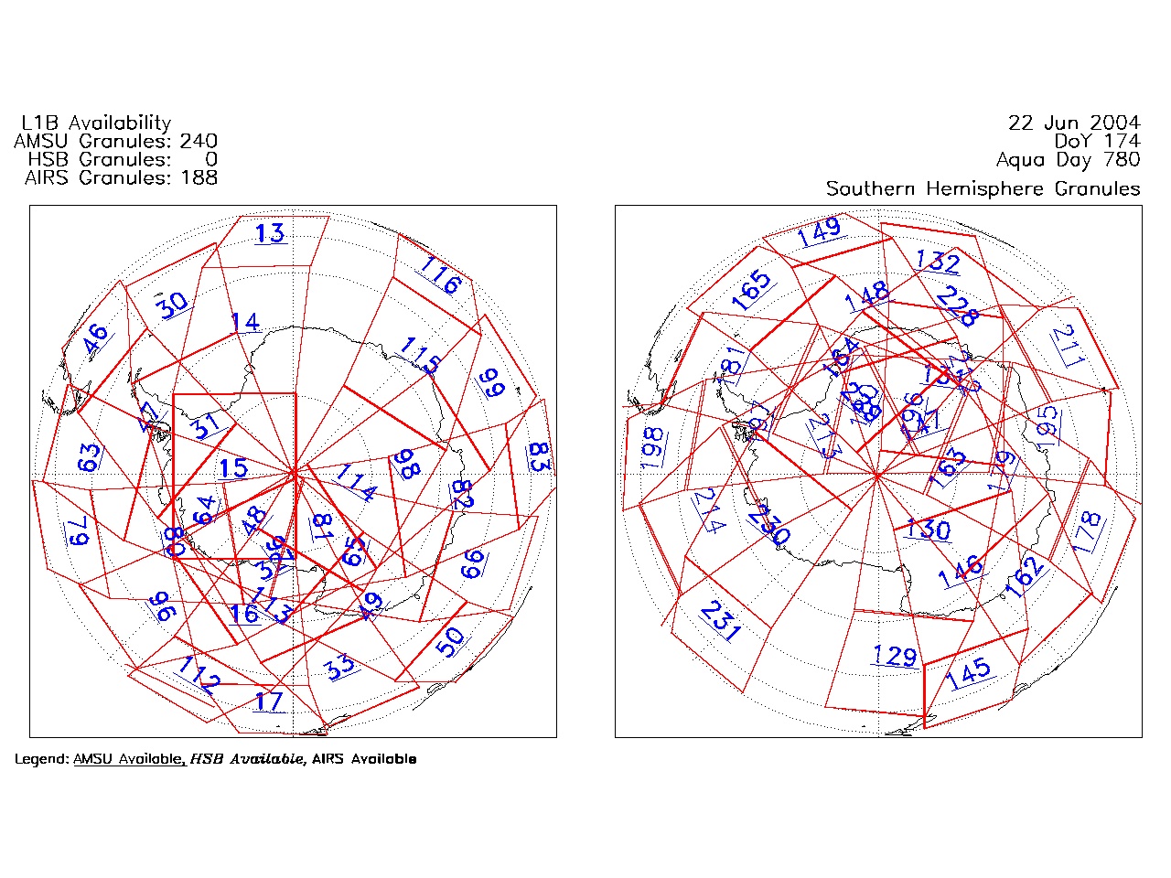
| AIRS.2004.06.22.GranuleMap.South.jpg | 2012-06-06T18:03:45GMT | 491013 |
|
||||||
| AIRS.2004.06.22.GranuleMap.pdf | 2012-06-06T18:03:44GMT | 333439 |
|
||||||
| AIRS.2004.06.22.GranuleMap.xml | 2012-06-06T18:03:45GMT | 2533 |
|
|
THREDDS Catalog XML
|