| Name | Last Modified | Size | DAP Response Links | Dataset Viewers | |||||
|---|---|---|---|---|---|---|---|---|---|
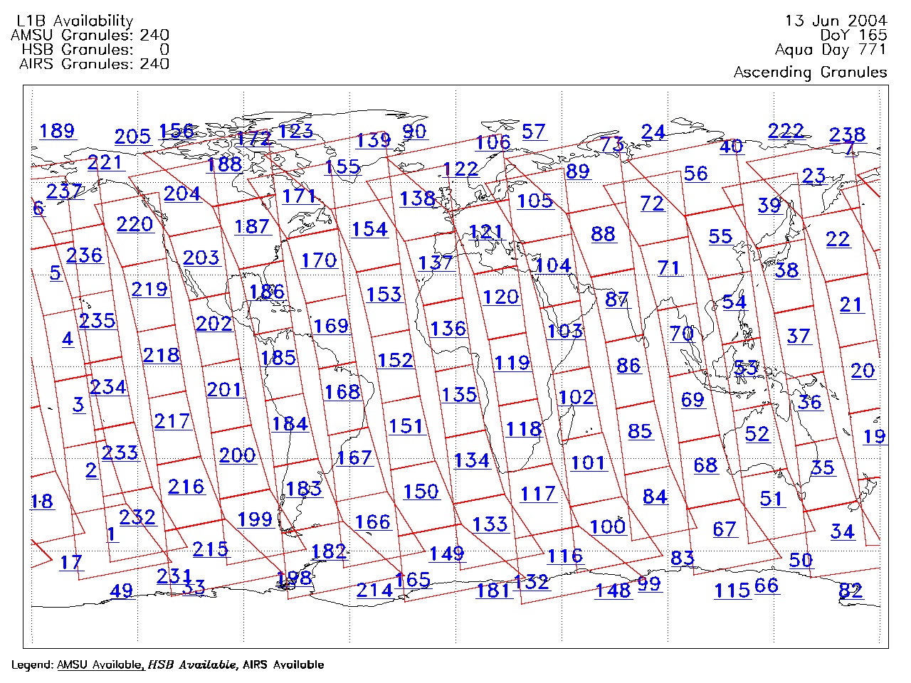
| AIRS.2004.06.13.GranuleMap.Ascending.jpg | 2012-06-06T18:03:29GMT | 656225 |
|
||||||
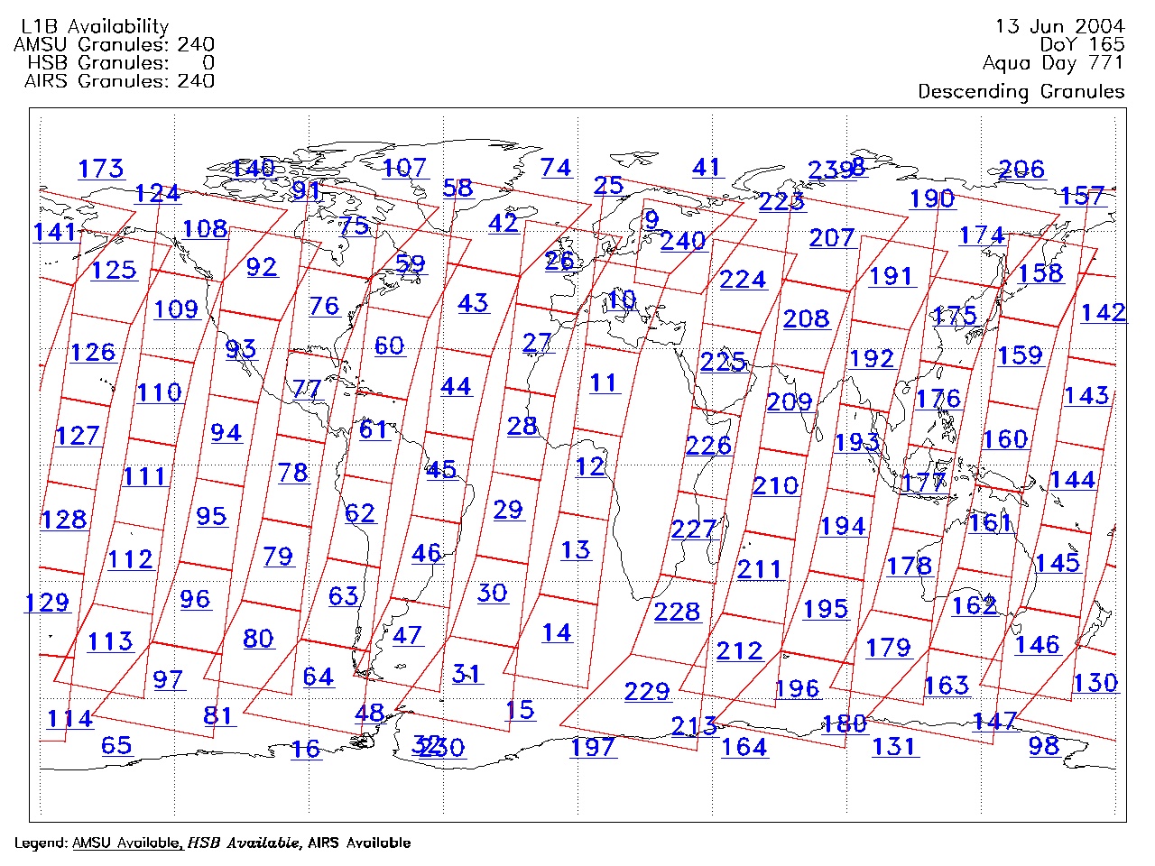
| AIRS.2004.06.13.GranuleMap.Descending.jpg | 2012-06-06T18:03:29GMT | 620696 |
|
||||||
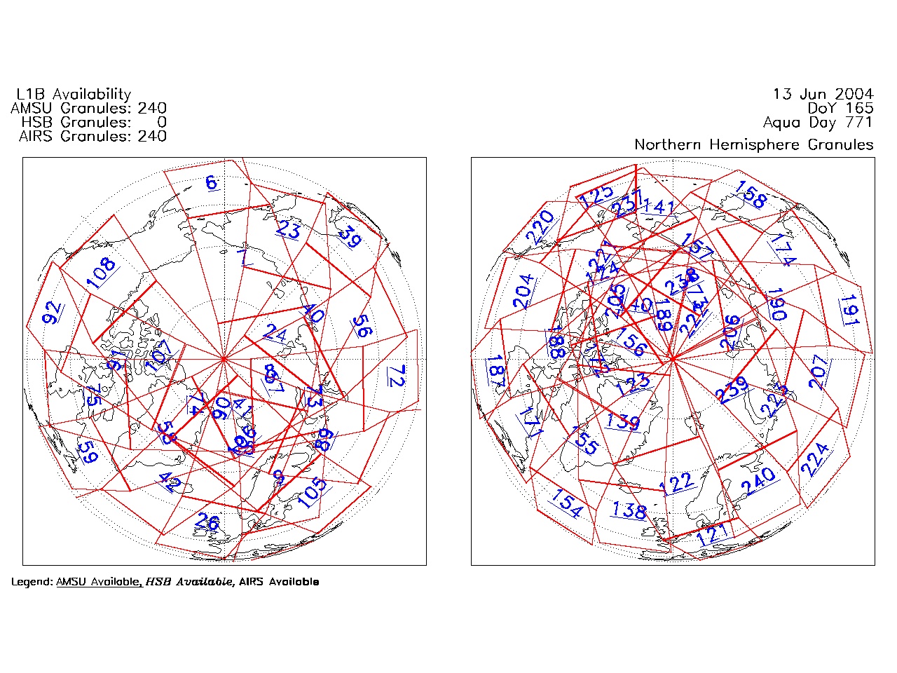
| AIRS.2004.06.13.GranuleMap.North.jpg | 2012-06-06T18:03:29GMT | 536002 |
|
||||||
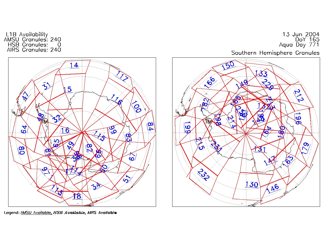
| AIRS.2004.06.13.GranuleMap.South.jpg | 2012-06-06T18:03:29GMT | 491111 |
|
||||||
| AIRS.2004.06.13.GranuleMap.pdf | 2012-06-06T18:03:29GMT | 333116 |
|
||||||
| AIRS.2004.06.13.GranuleMap.xml | 2012-06-06T18:03:29GMT | 2535 |
|
|
THREDDS Catalog XML
|