| Name | Last Modified | Size | DAP Response Links | Dataset Viewers | |||||
|---|---|---|---|---|---|---|---|---|---|
| AIRS.2004.05.18.GranuleMap.Ascending.jpg | 2012-06-06T18:02:43GMT | 622004 |
|
||||||
| AIRS.2004.05.18.GranuleMap.Descending.jpg | 2012-06-06T18:02:43GMT | 655893 |
|
||||||
| AIRS.2004.05.18.GranuleMap.North.jpg | 2012-06-06T18:02:44GMT | 534659 |
|
||||||
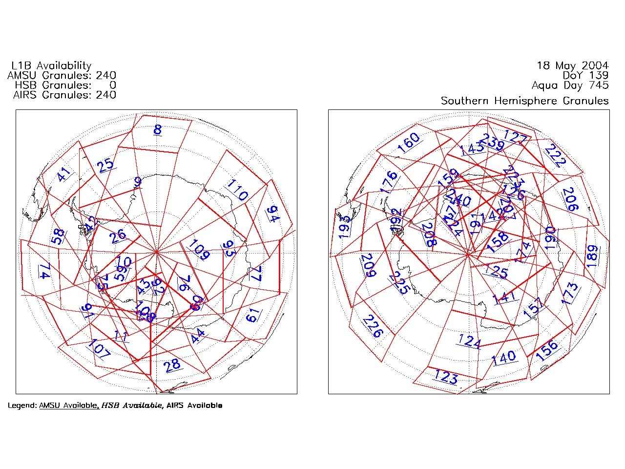
| AIRS.2004.05.18.GranuleMap.South.jpg | 2012-06-06T18:02:44GMT | 494272 |
|
||||||
| AIRS.2004.05.18.GranuleMap.pdf | 2012-06-06T18:02:43GMT | 333364 |
|
||||||
| AIRS.2004.05.18.GranuleMap.xml | 2012-06-06T18:02:44GMT | 2532 |
|
|
THREDDS Catalog XML
|