| Name | Last Modified | Size | DAP Response Links | Dataset Viewers | |||||
|---|---|---|---|---|---|---|---|---|---|
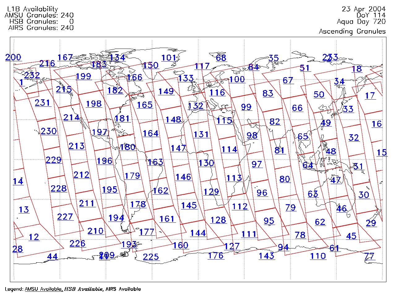
| AIRS.2004.04.23.GranuleMap.Ascending.jpg | 2012-06-06T18:02:03GMT | 622214 |
|
||||||
| AIRS.2004.04.23.GranuleMap.Descending.jpg | 2012-06-06T18:02:03GMT | 654603 |
|
||||||
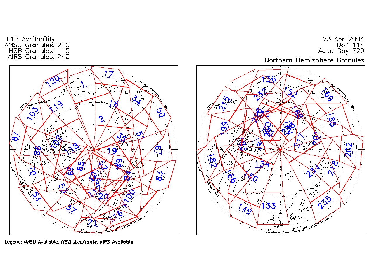
| AIRS.2004.04.23.GranuleMap.North.jpg | 2012-06-06T18:02:03GMT | 538032 |
|
||||||
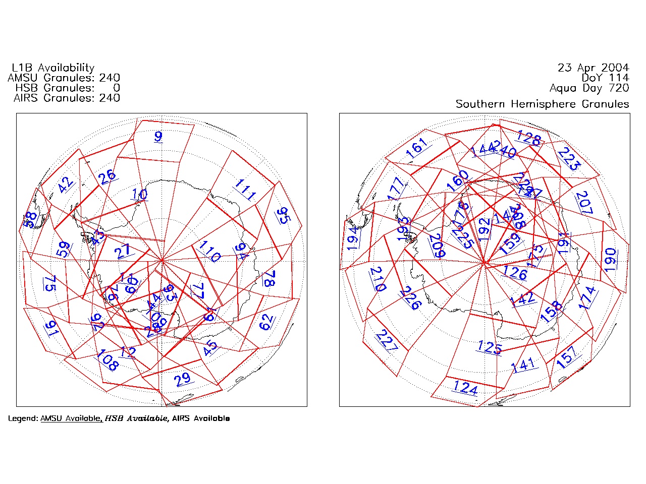
| AIRS.2004.04.23.GranuleMap.South.jpg | 2012-06-06T18:02:03GMT | 497116 |
|
||||||
| AIRS.2004.04.23.GranuleMap.pdf | 2012-06-06T18:02:03GMT | 333441 |
|
||||||
| AIRS.2004.04.23.GranuleMap.xml | 2012-06-06T18:02:03GMT | 2533 |
|
|
THREDDS Catalog XML
|