| Name | Last Modified | Size | DAP Response Links | Dataset Viewers | |||||
|---|---|---|---|---|---|---|---|---|---|
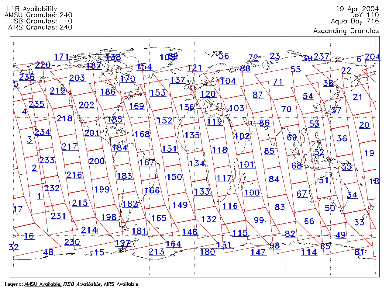
| AIRS.2004.04.19.GranuleMap.Ascending.jpg | 2012-06-06T18:01:53GMT | 642283 |
|
||||||
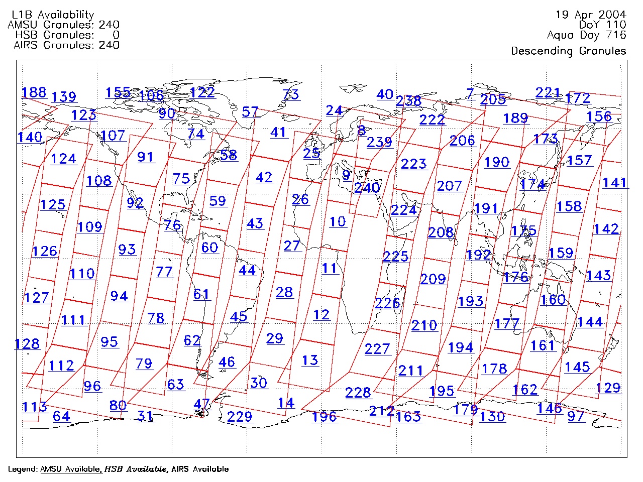
| AIRS.2004.04.19.GranuleMap.Descending.jpg | 2012-06-06T18:01:53GMT | 639556 |
|
||||||
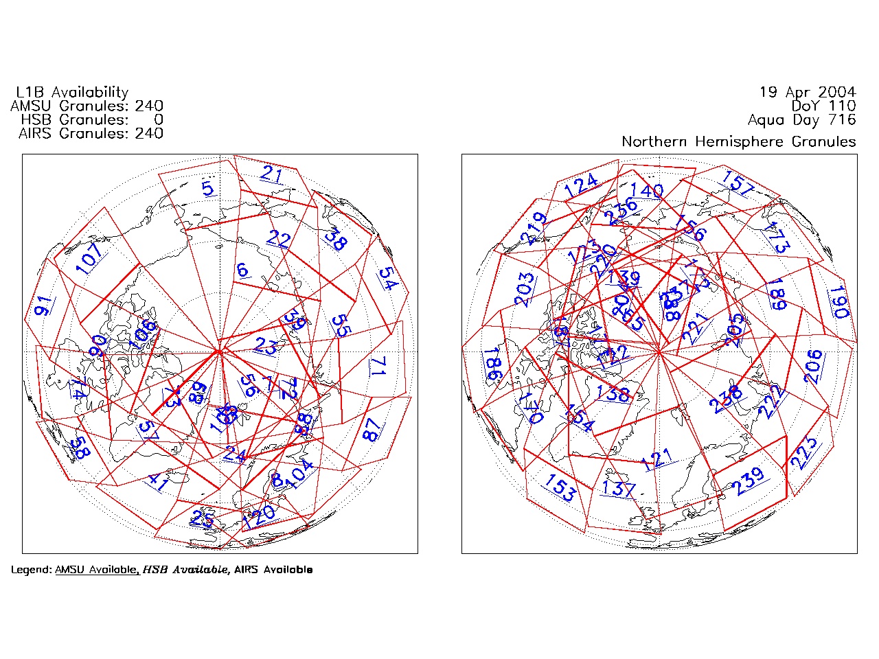
| AIRS.2004.04.19.GranuleMap.North.jpg | 2012-06-06T18:01:53GMT | 540622 |
|
||||||
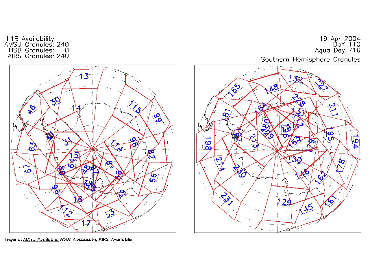
| AIRS.2004.04.19.GranuleMap.South.jpg | 2012-06-06T18:01:53GMT | 485541 |
|
||||||
| AIRS.2004.04.19.GranuleMap.pdf | 2012-06-06T18:01:53GMT | 333433 |
|
||||||
| AIRS.2004.04.19.GranuleMap.xml | 2012-06-06T18:01:53GMT | 2534 |
|
|
THREDDS Catalog XML
|