| Name | Last Modified | Size | DAP Response Links | Dataset Viewers | |||||
|---|---|---|---|---|---|---|---|---|---|
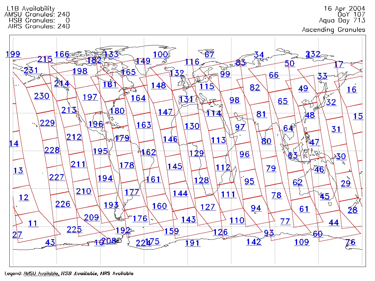
| AIRS.2004.04.16.GranuleMap.Ascending.jpg | 2012-06-06T18:01:48GMT | 622429 |
|
||||||
| AIRS.2004.04.16.GranuleMap.Descending.jpg | 2012-06-06T18:01:48GMT | 652622 |
|
||||||
| AIRS.2004.04.16.GranuleMap.North.jpg | 2012-06-06T18:01:48GMT | 528818 |
|
||||||
| AIRS.2004.04.16.GranuleMap.South.jpg | 2012-06-06T18:01:48GMT | 499137 |
|
||||||
| AIRS.2004.04.16.GranuleMap.pdf | 2012-06-06T18:01:47GMT | 333098 |
|
||||||
| AIRS.2004.04.16.GranuleMap.xml | 2012-06-06T18:01:48GMT | 2535 |
|
|
THREDDS Catalog XML
|