| Name | Last Modified | Size | DAP Response Links | Dataset Viewers | |||||
|---|---|---|---|---|---|---|---|---|---|
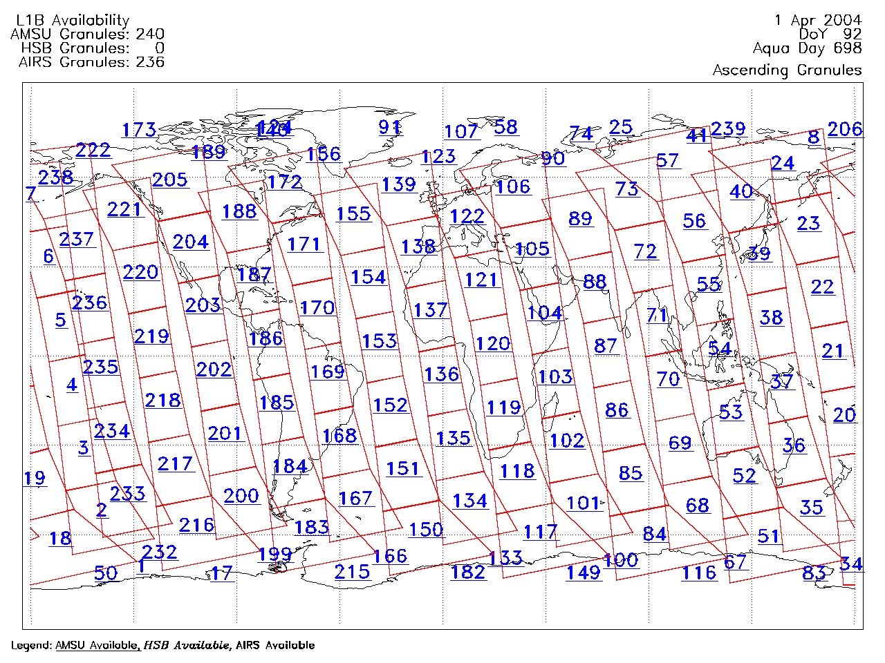
| AIRS.2004.04.01.GranuleMap.Ascending.jpg | 2012-06-06T18:01:22GMT | 650646 |
|
||||||
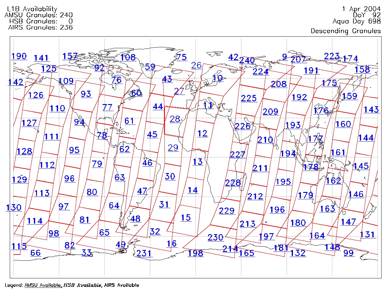
| AIRS.2004.04.01.GranuleMap.Descending.jpg | 2012-06-06T18:01:22GMT | 630662 |
|
||||||
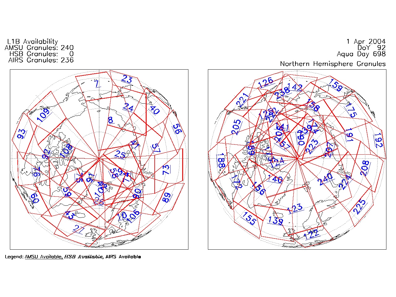
| AIRS.2004.04.01.GranuleMap.North.jpg | 2012-06-06T18:01:23GMT | 535507 |
|
||||||
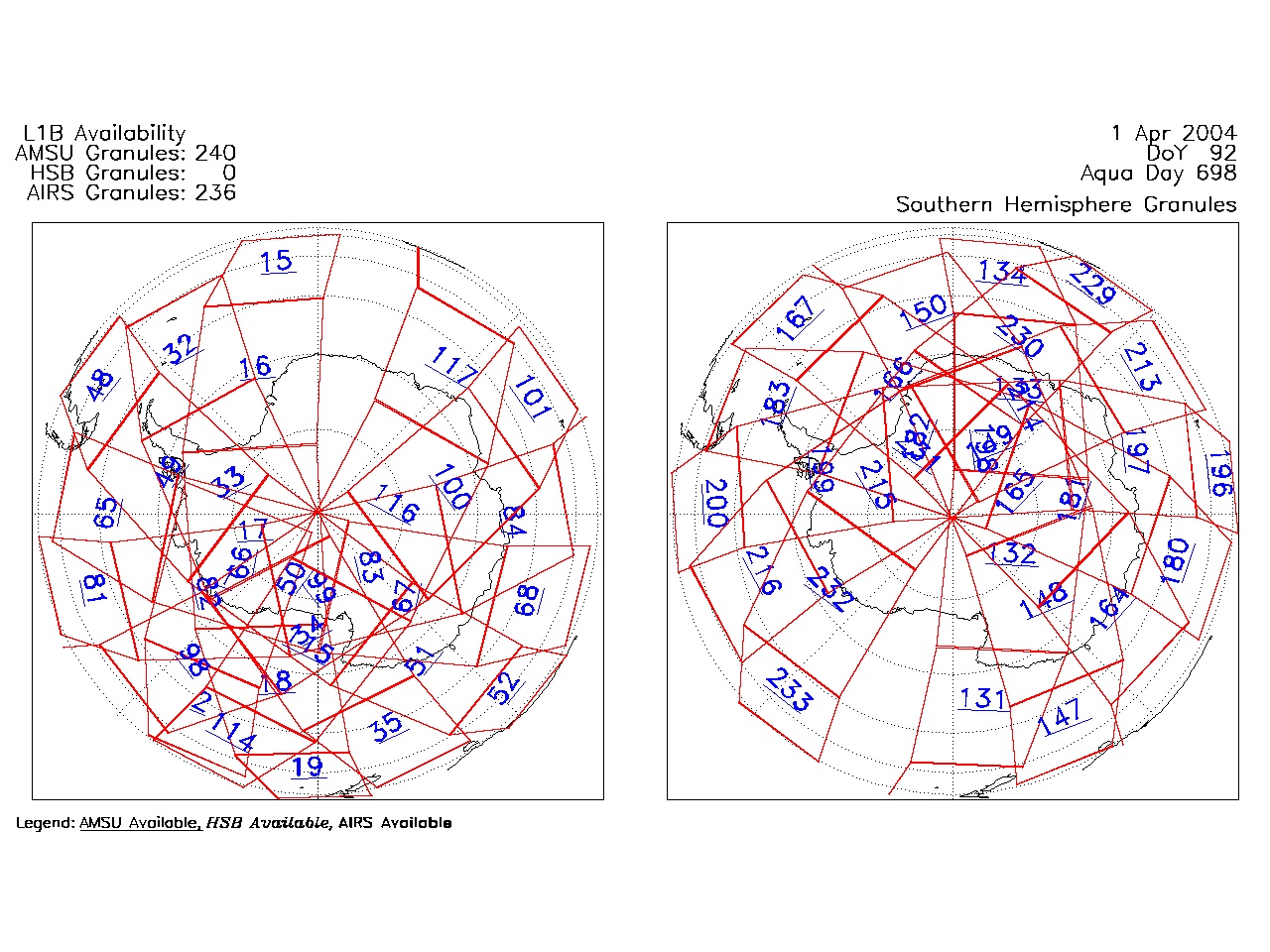
| AIRS.2004.04.01.GranuleMap.South.jpg | 2012-06-06T18:01:23GMT | 492805 |
|
||||||
| AIRS.2004.04.01.GranuleMap.pdf | 2012-06-06T18:01:22GMT | 333408 |
|
||||||
| AIRS.2004.04.01.GranuleMap.xml | 2012-06-06T18:01:23GMT | 2535 |
|
|
THREDDS Catalog XML
|